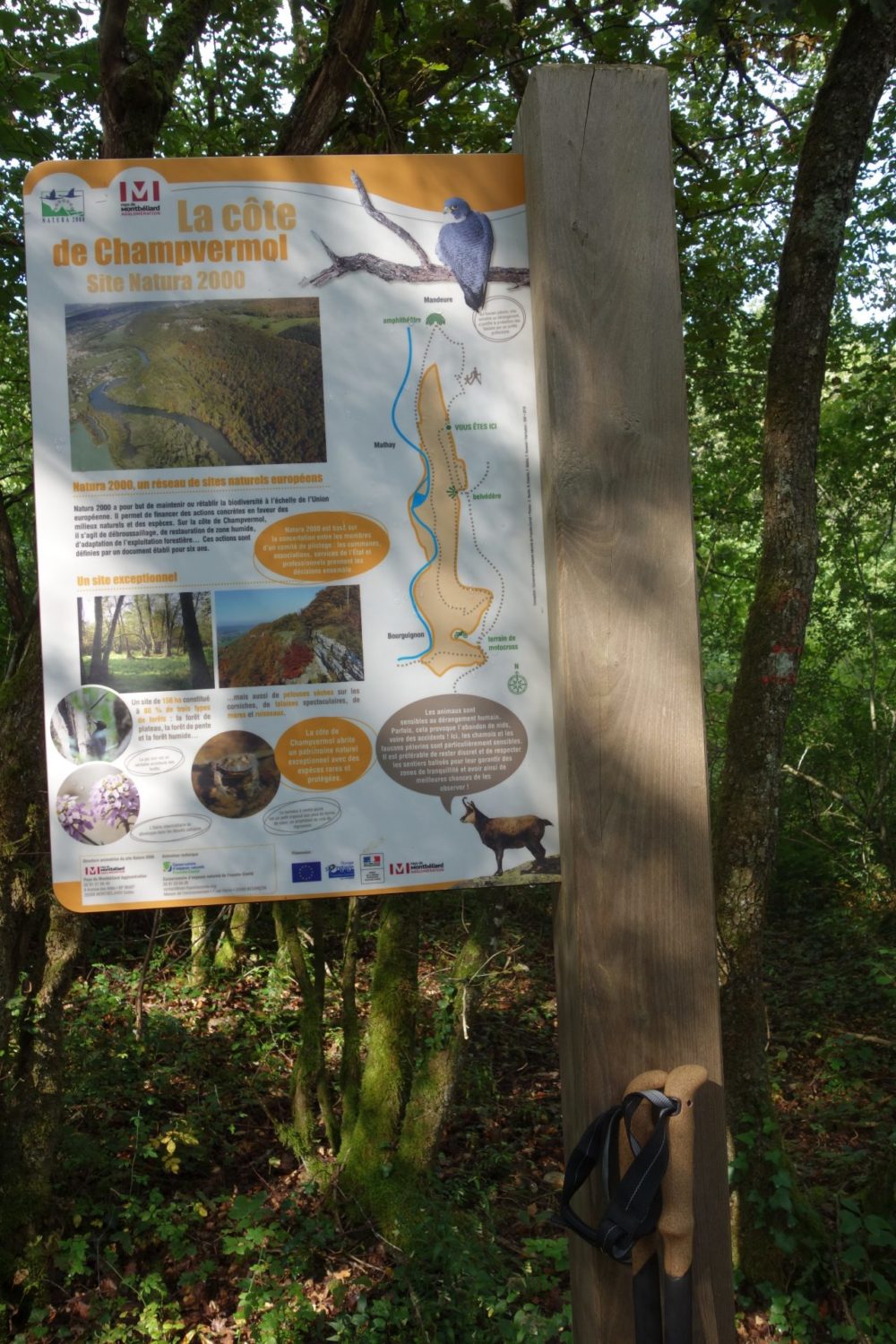
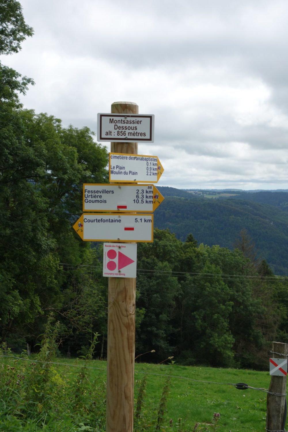
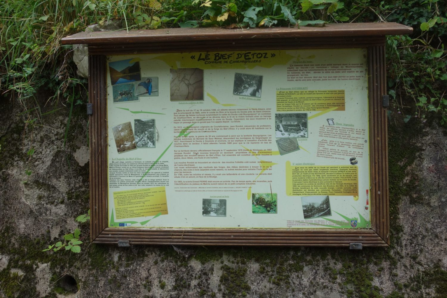
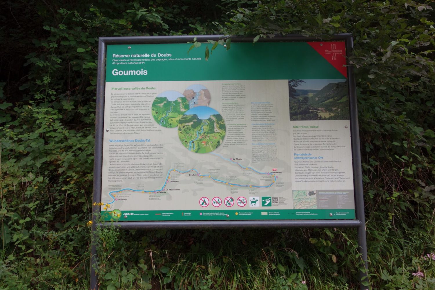
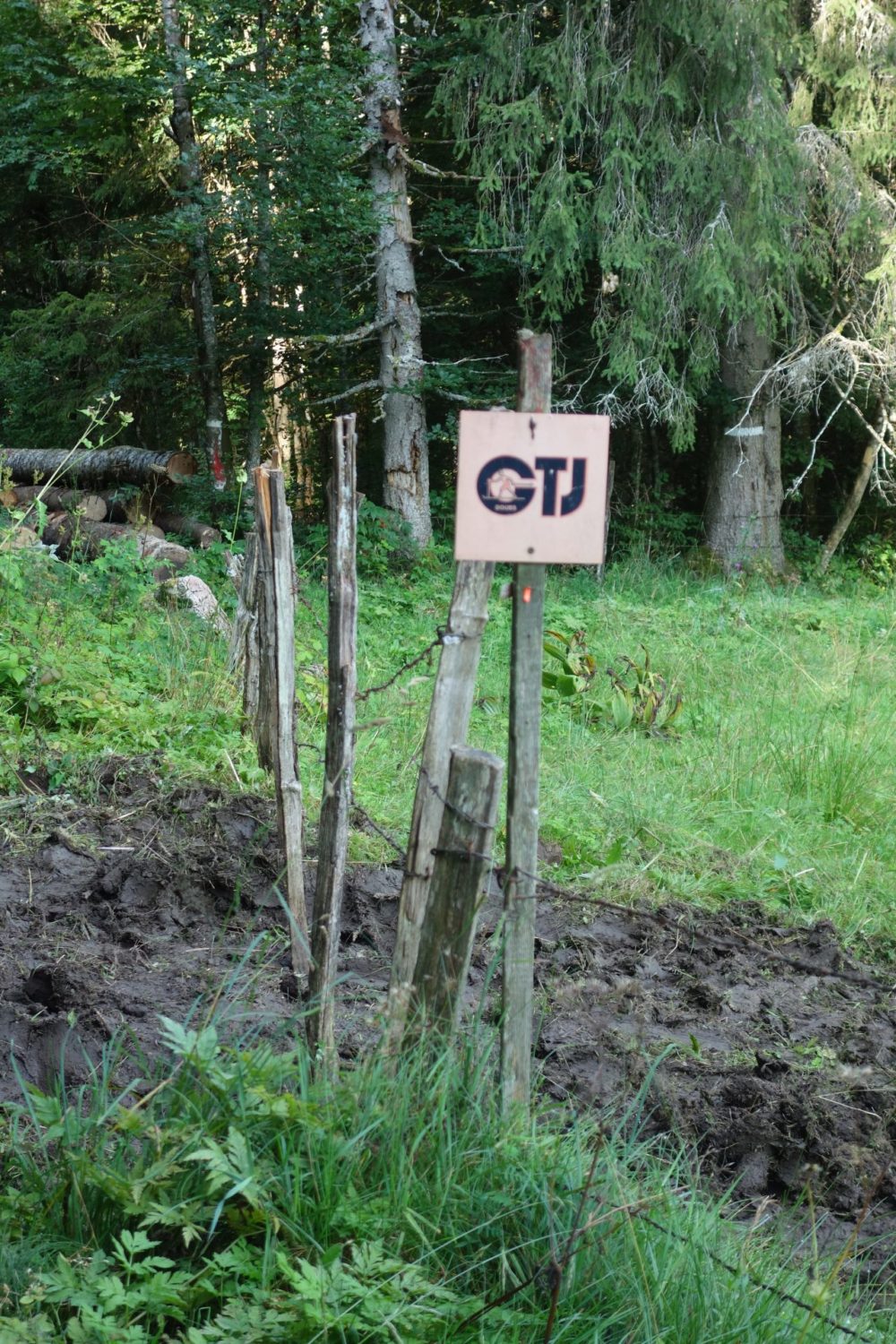
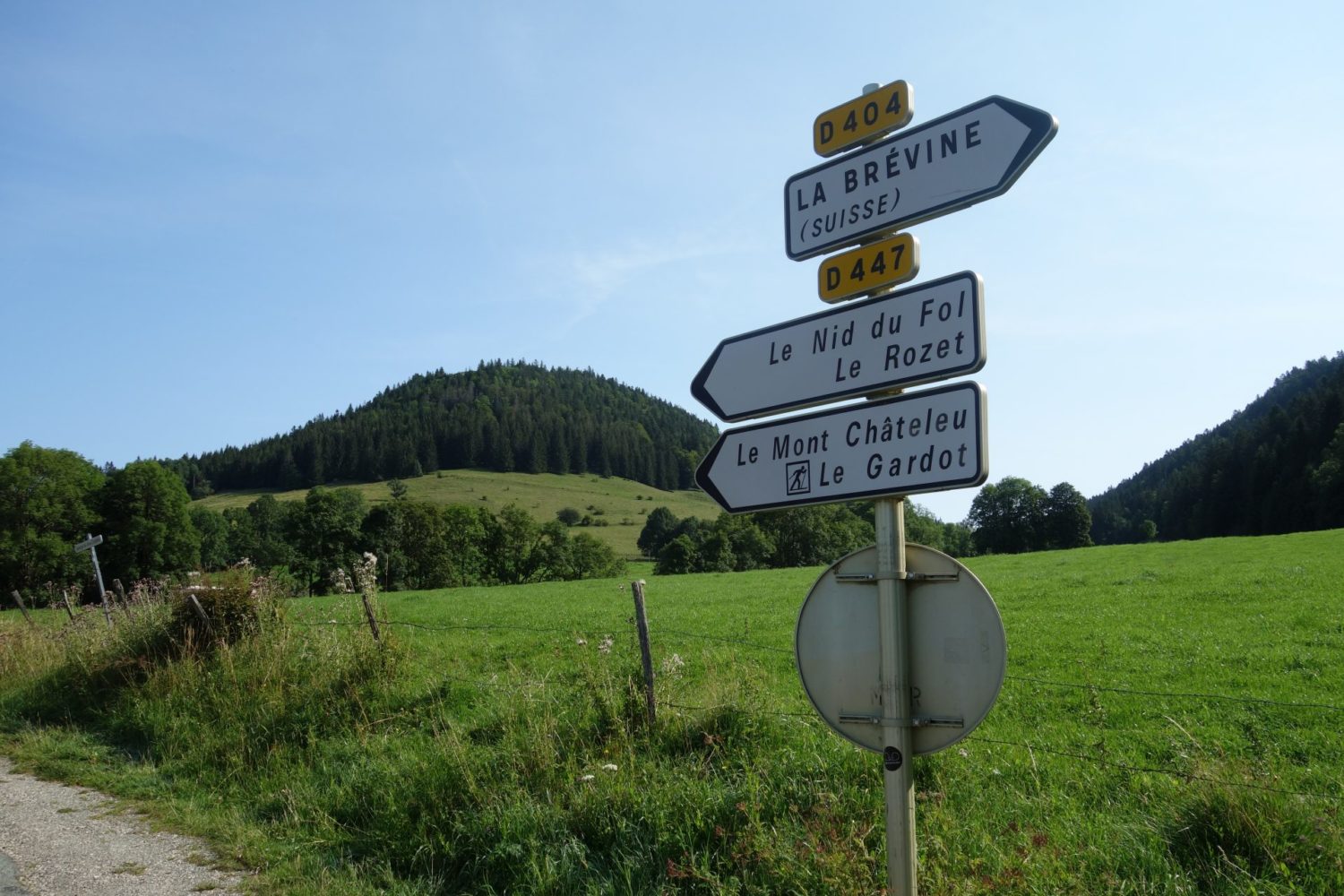
GTJ – La grande traversée du Jura. I only walked from Mandeure to Pontartlier. Roughly 150 kilometres. Although the whole length of the GTJ is about 400 kms in total.
My second trek for this year 2021. I only wanted to walk for about a week so I decided to do the first 150 kms of the GTJ. Which is 400 kms long in total.
The GPX Trace I downloaded the trace from https://bit.ly/3jvoAcg and added it too my Garmin 66i https://bit.ly/2WDlrOw
5 Days
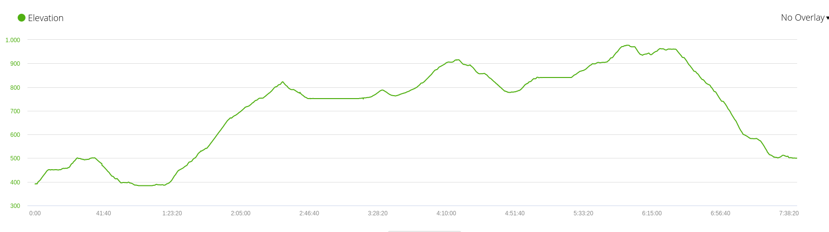
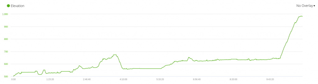
GTJ – La grande traversée du Jura. I had planned in doing the first 150 kms of this walk in 7 days, Finally I did it in 5 days. Some of the sections I walked more than I had planned, and the very last section I actually did 42 kms in one day rather. But it was tiring, therefore I would suggest at least 6 days which is easy.
Equipement
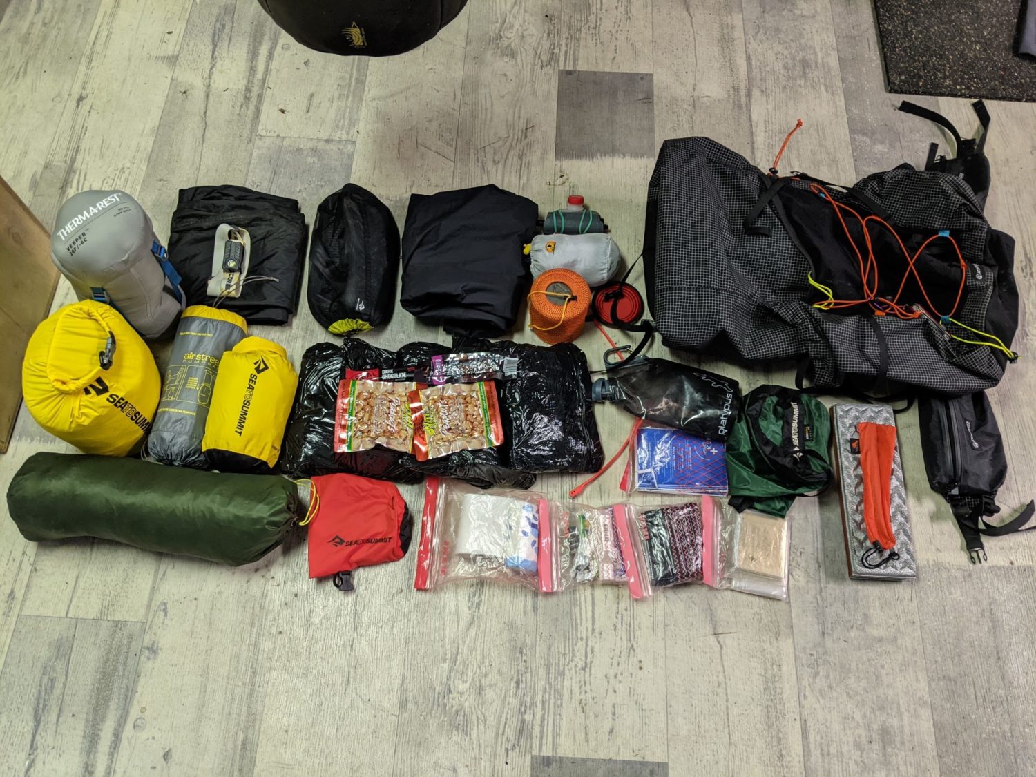
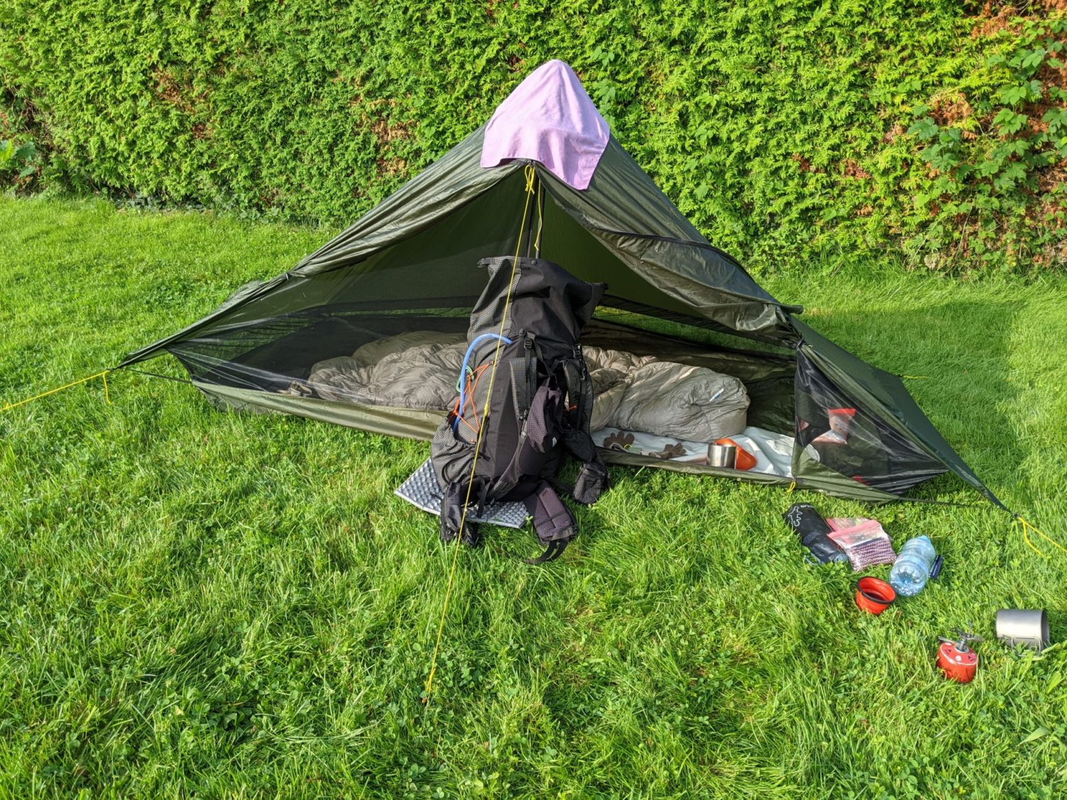
My equipment was similaire to what I use every time now, except I wanted to try my new Lunar Solo tent rather than my StratoSpire1. However I didn’t like the Lunar Solo, and so I’m going to sell it and just use the StratoSpire1 made by TarpTent in the future.
Here is the list complete https://lighterpack.com/r/d0hopy
Unlike my last trek in May this time I had decent weather. Oh what a change 🙂
Water points
Be warned there are surprisingly few water points on this trek. None of them are ‘eau potable’ so take a filter. I use the Sawyer filter, used it a couple of times with no problems.
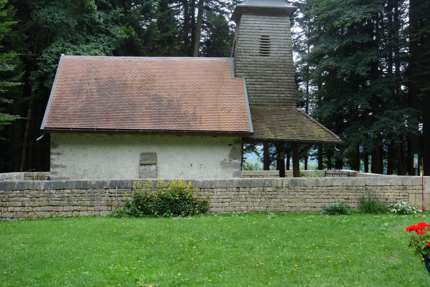
Mandeure – Saint Hippolyte. Day 1
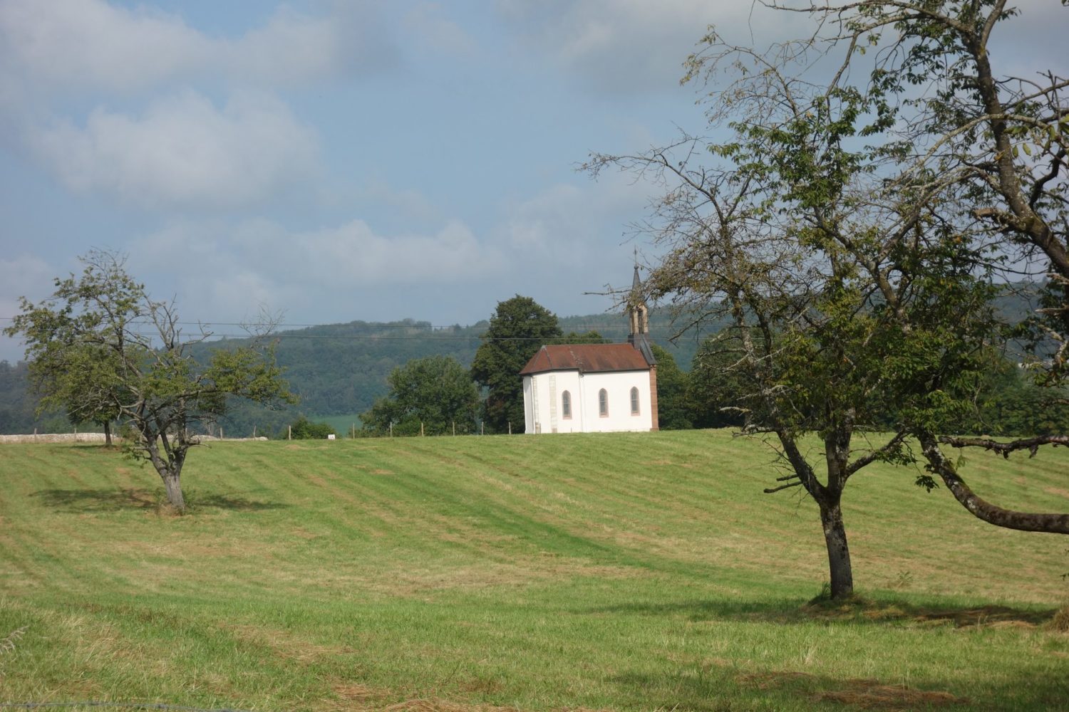
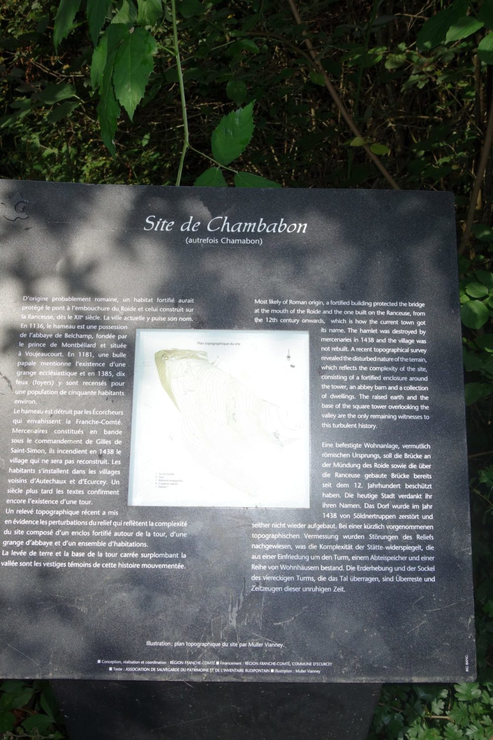
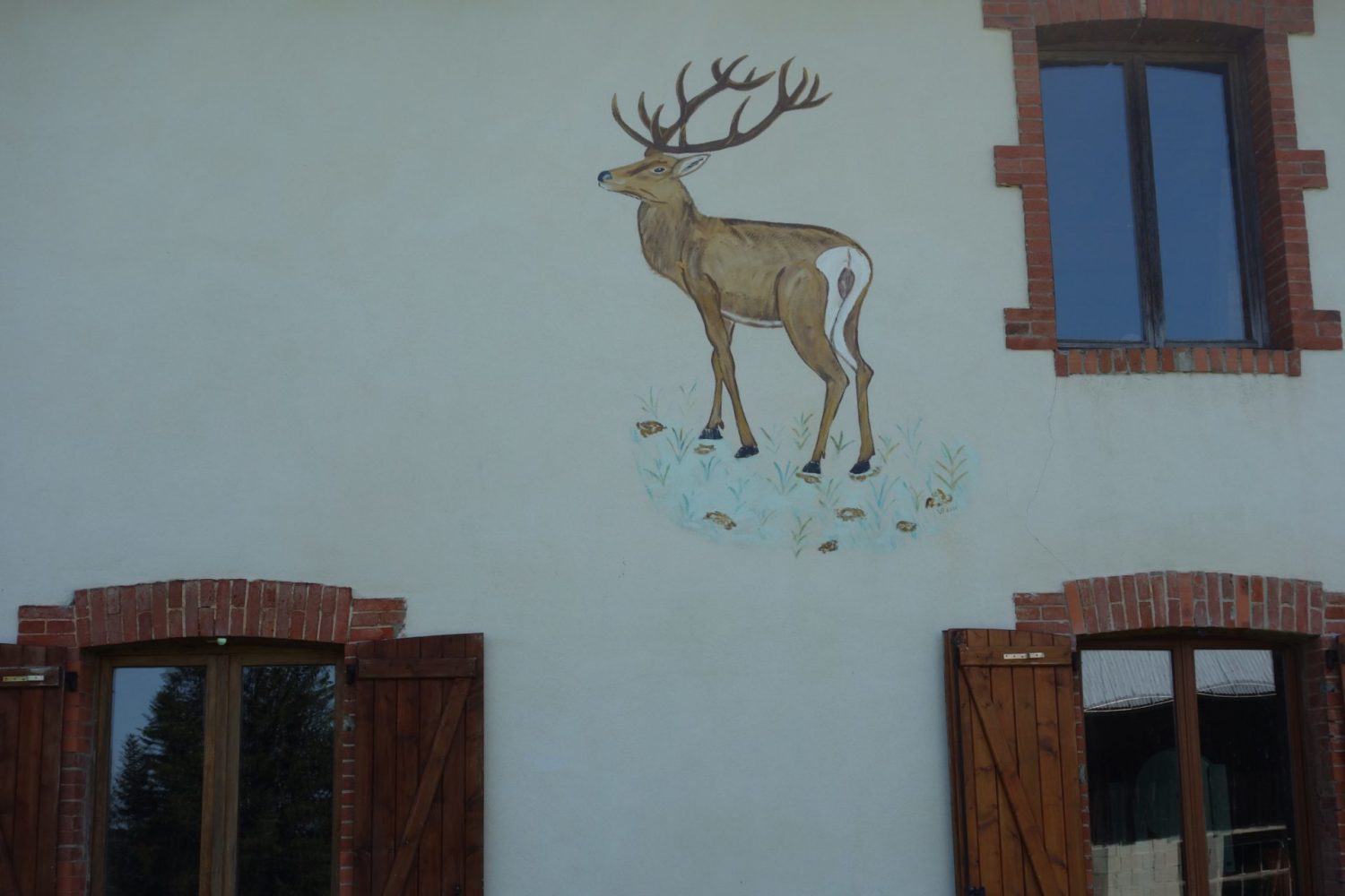
GTJ – La grande traversée du Jura. It all starts here at Mandeure. I arrived Monday evening in Mandeure having taken the train from Paris to Voujeaucourt. There is a train station at Mandeure however the train to there takes forever, and so I walked from Voujeaucourt, it’s only a 45 mins walk.
Camping nice and new
The camping at Mandeure has been totally revamped so it’s pretty good. Toilets, showers etc all brand new. Only need to walk about 1km from it to find the start of the GR509 (later it will merge and become the GR5)
Tuesday morning, and time to set of, also I was lucky, the weather was good, despite that it had drizzled slightly in the night all was dry.
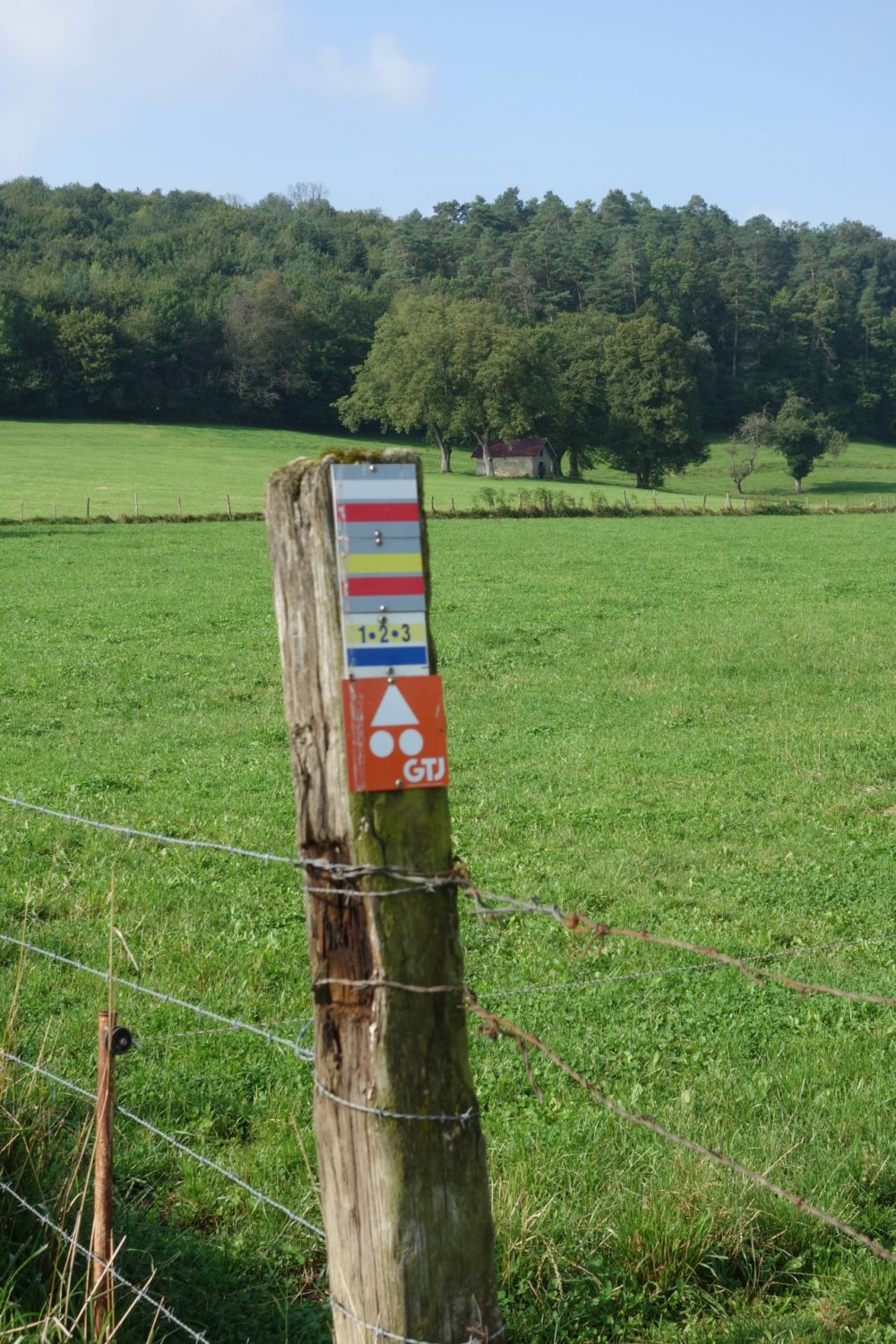
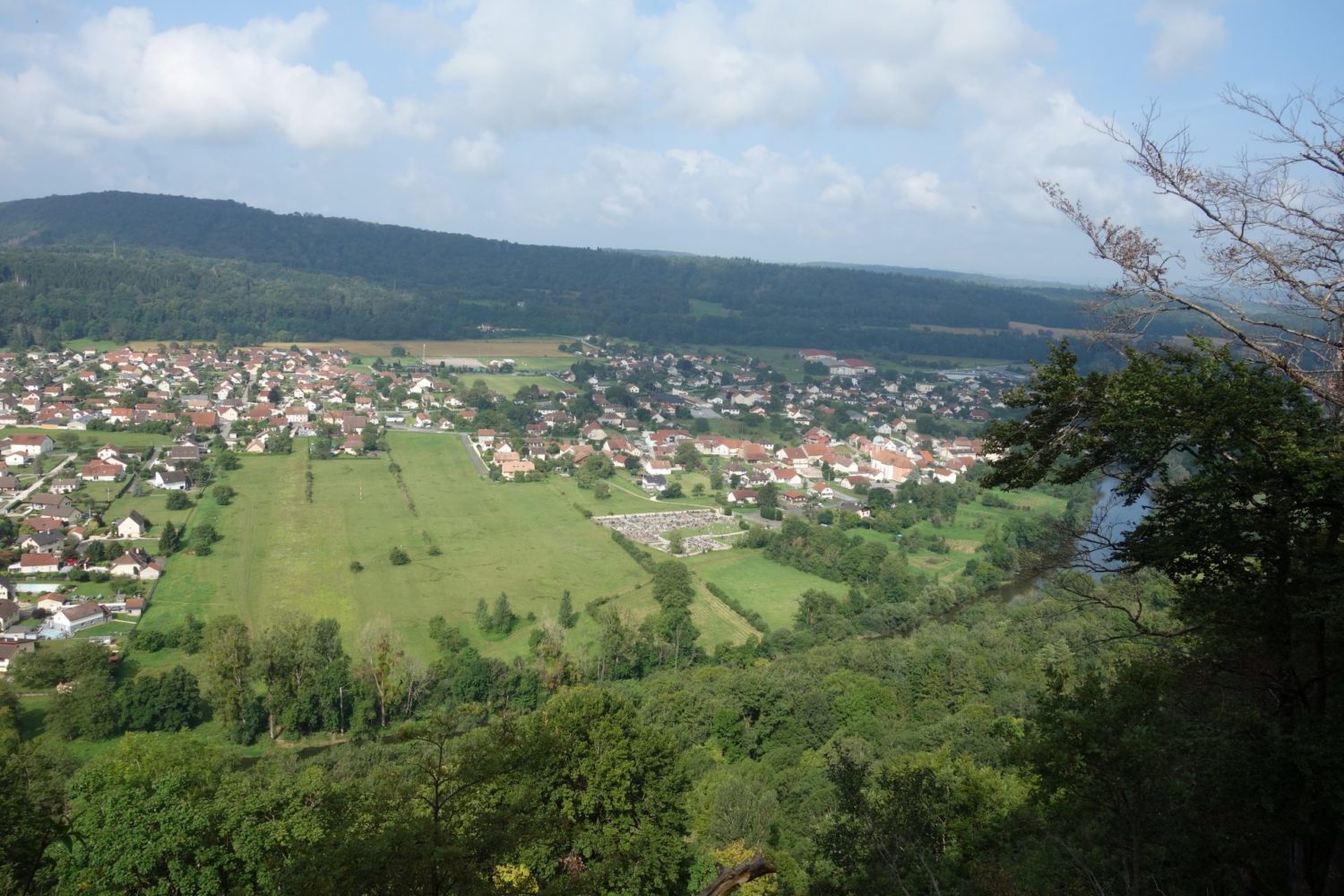
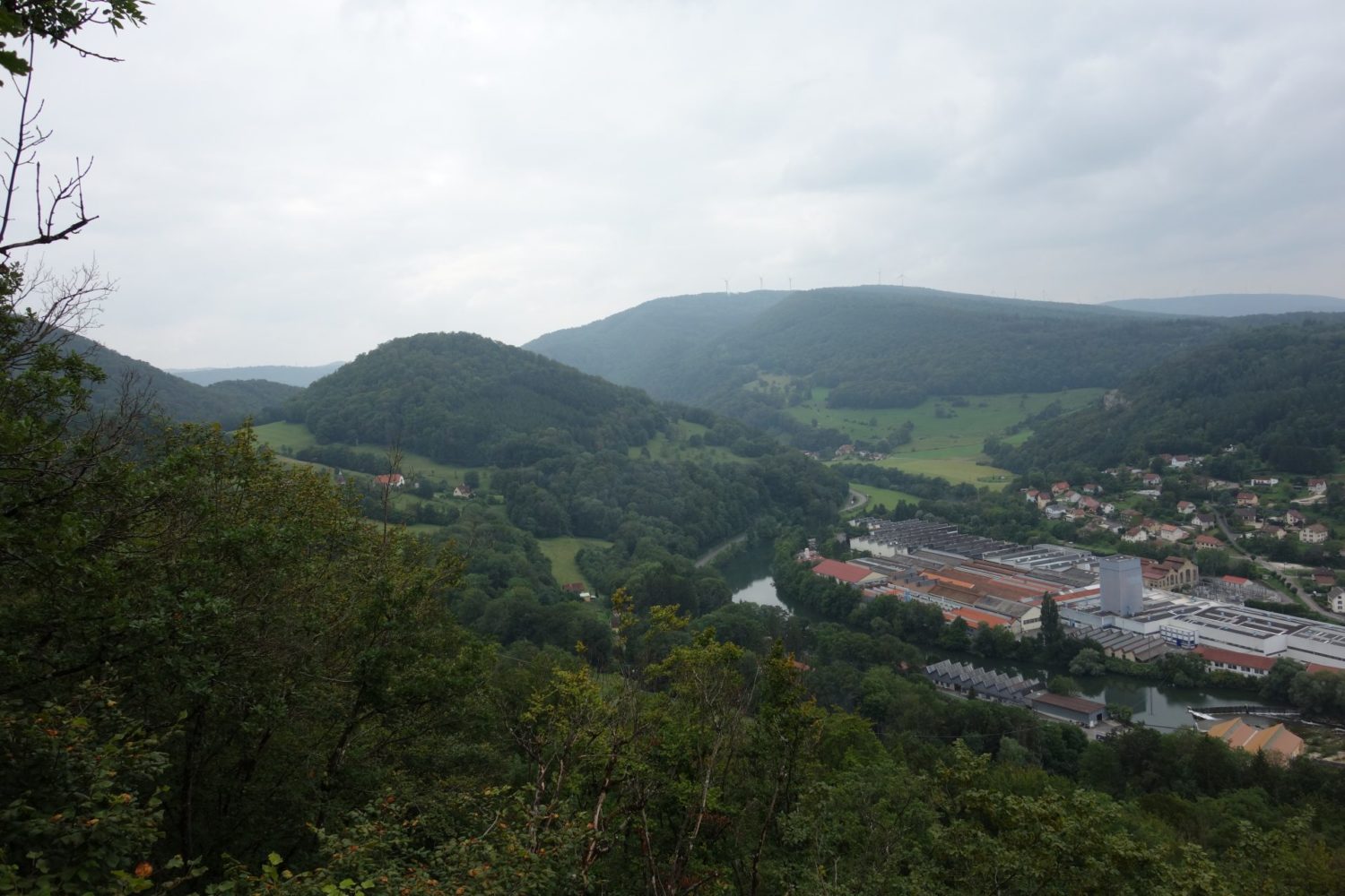
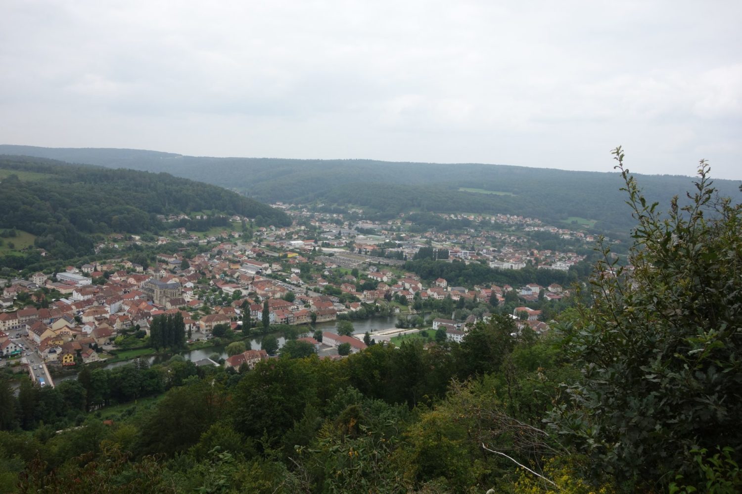
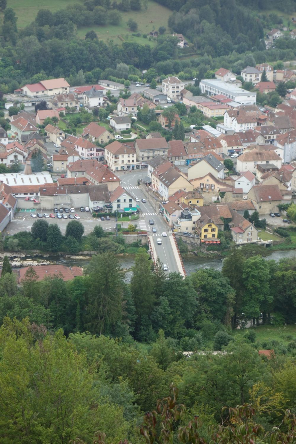
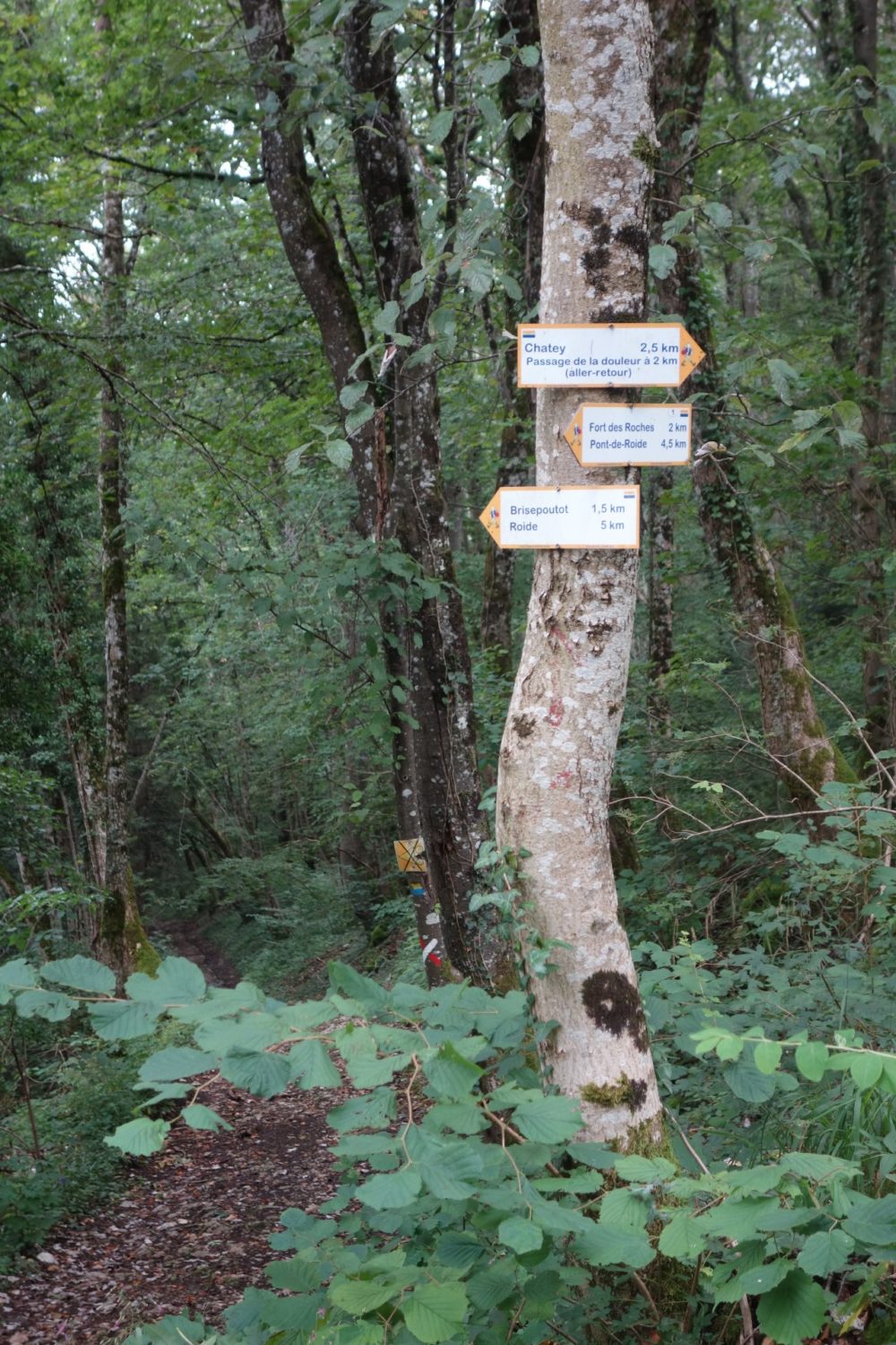


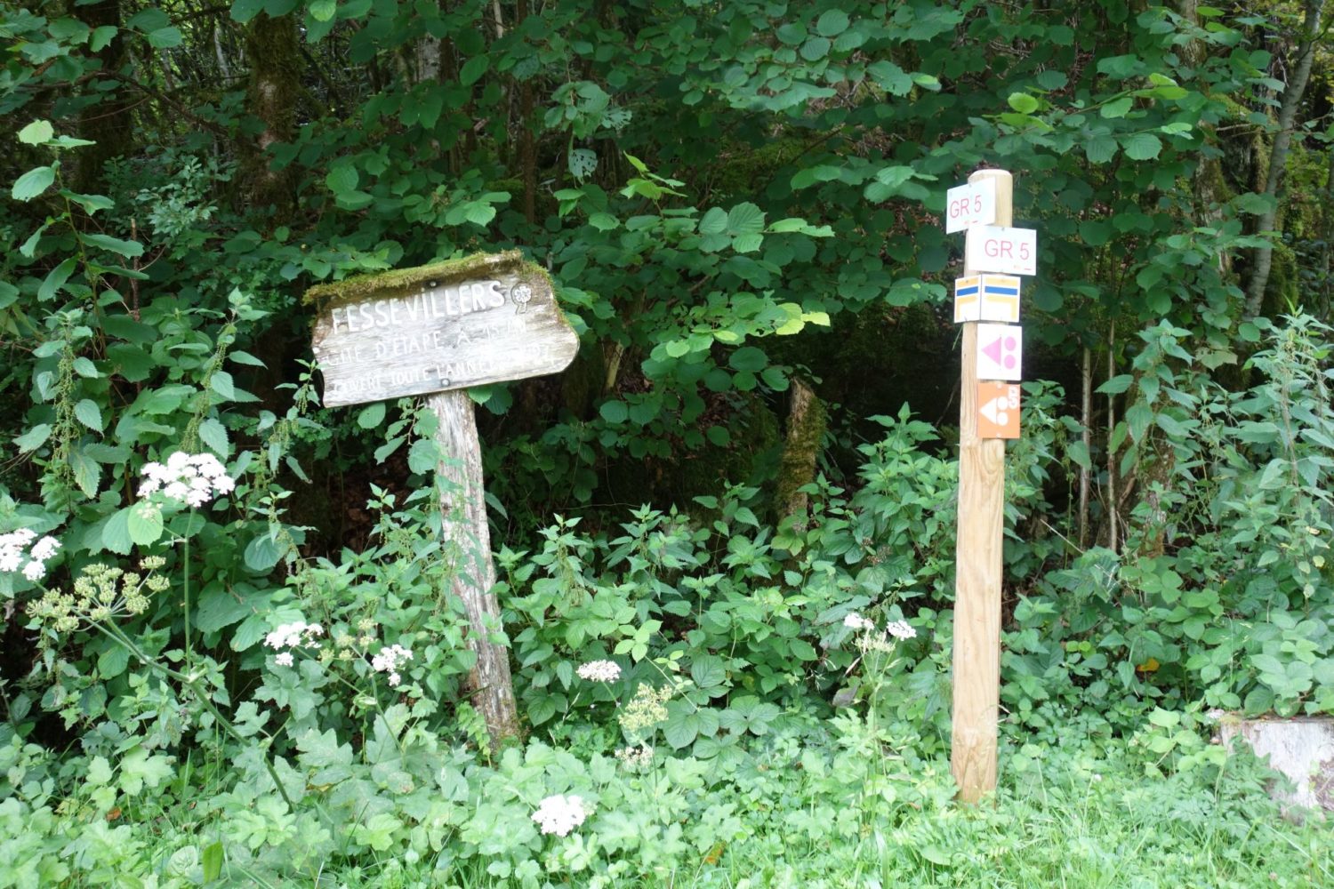
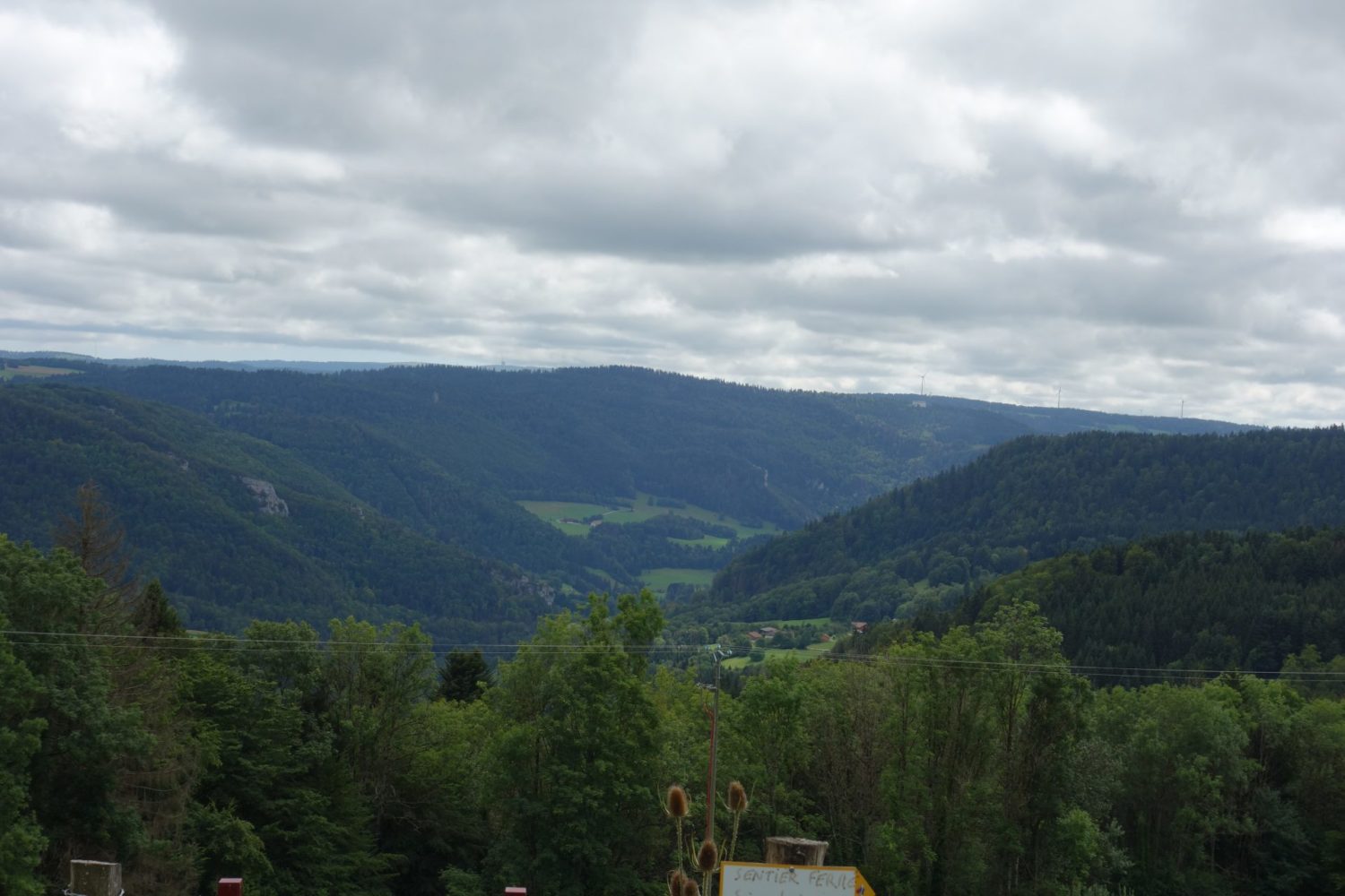
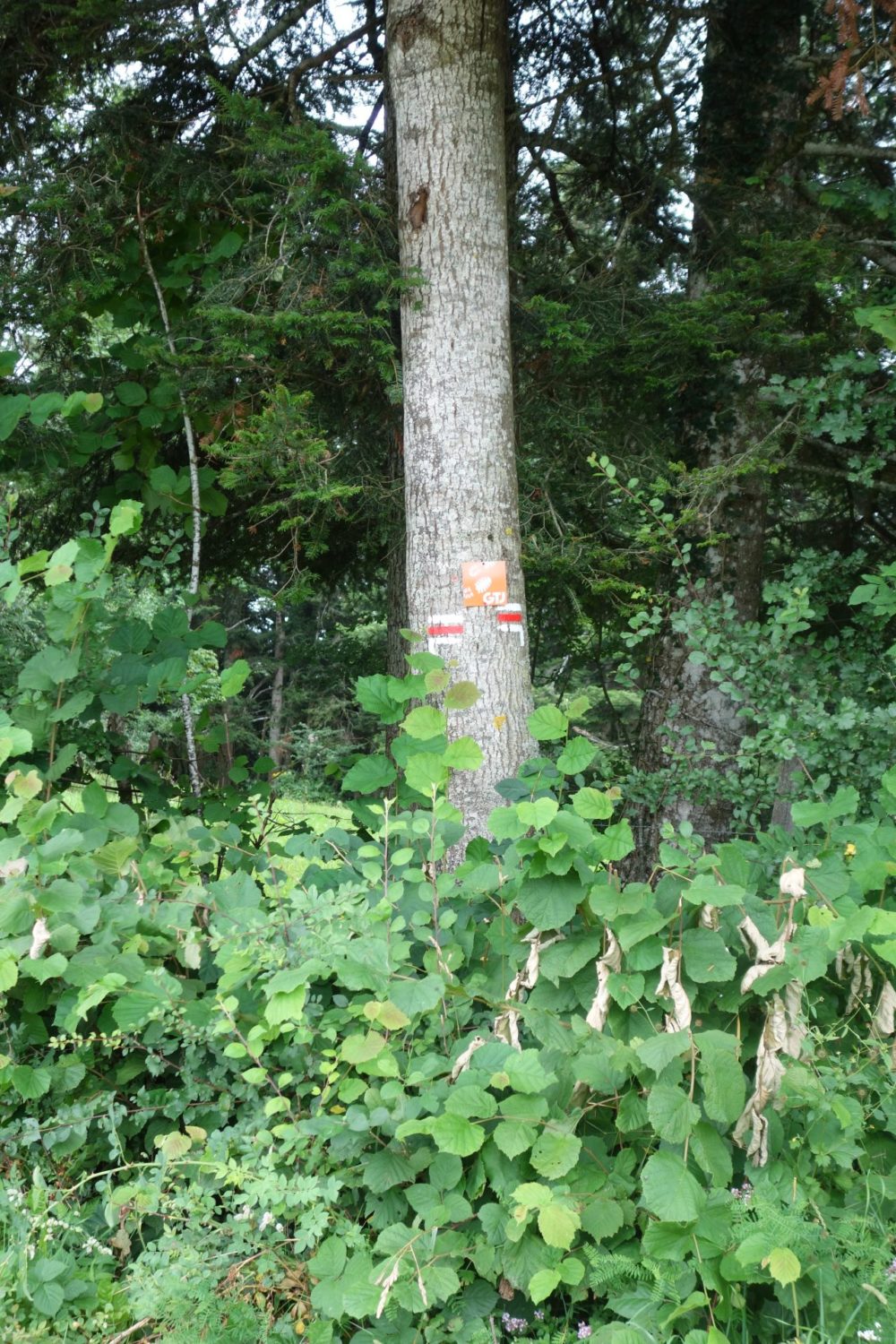
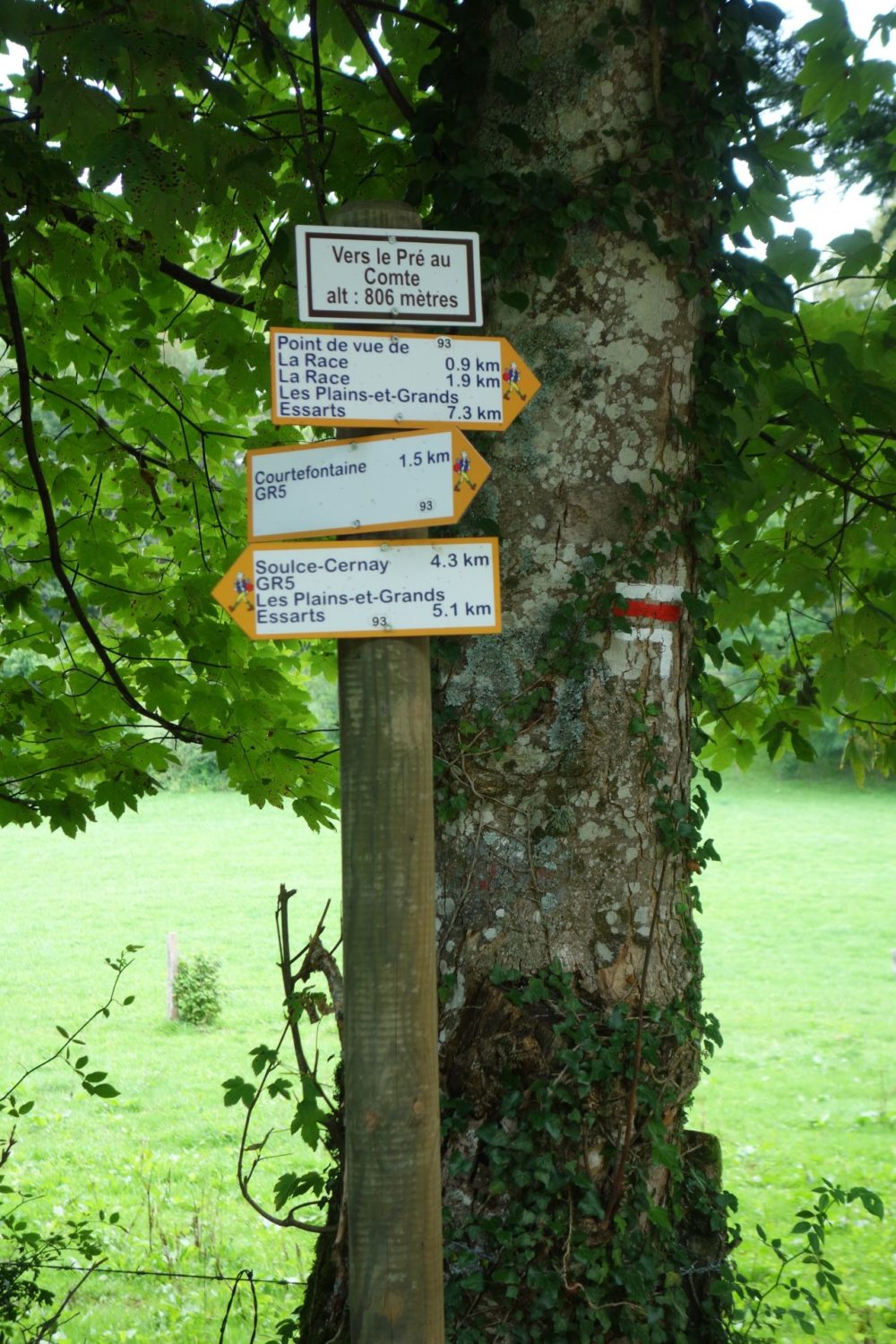
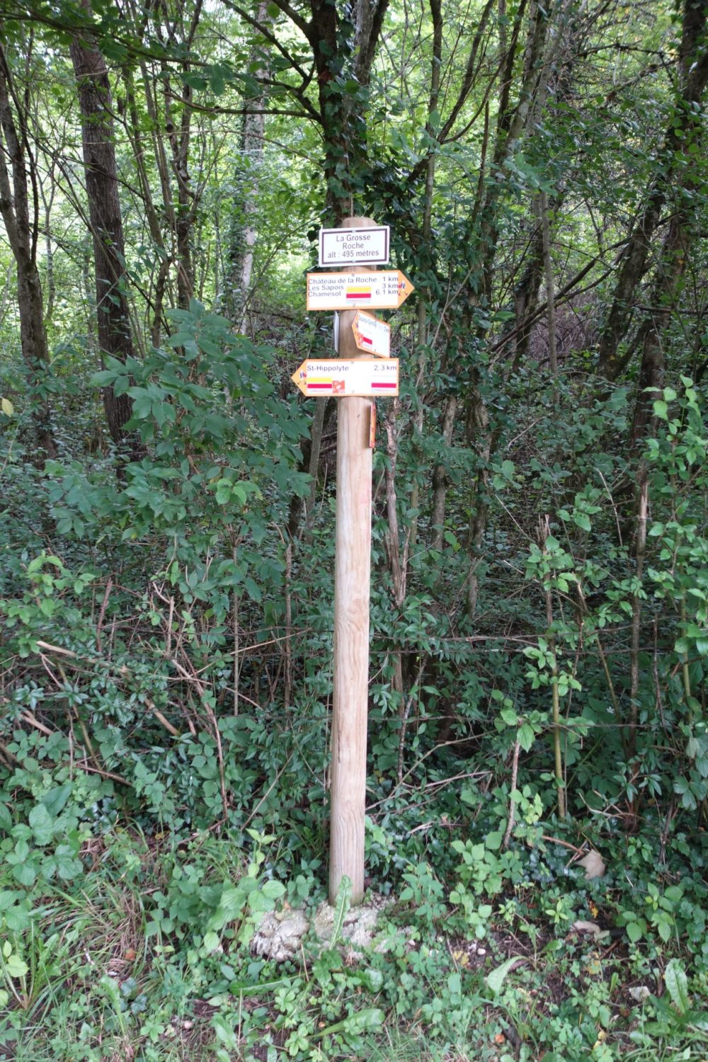
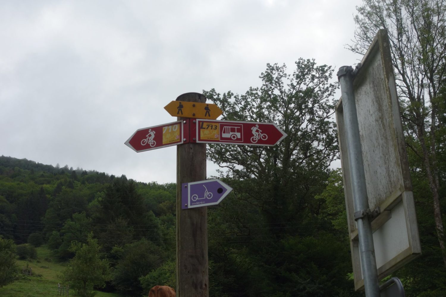
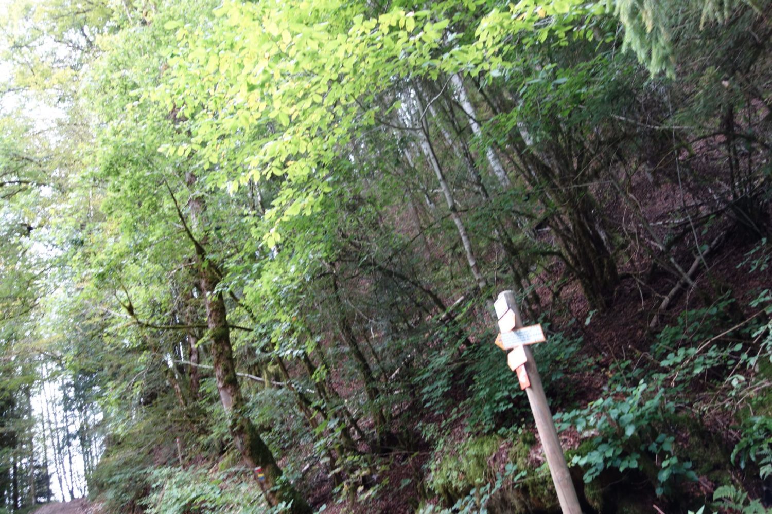
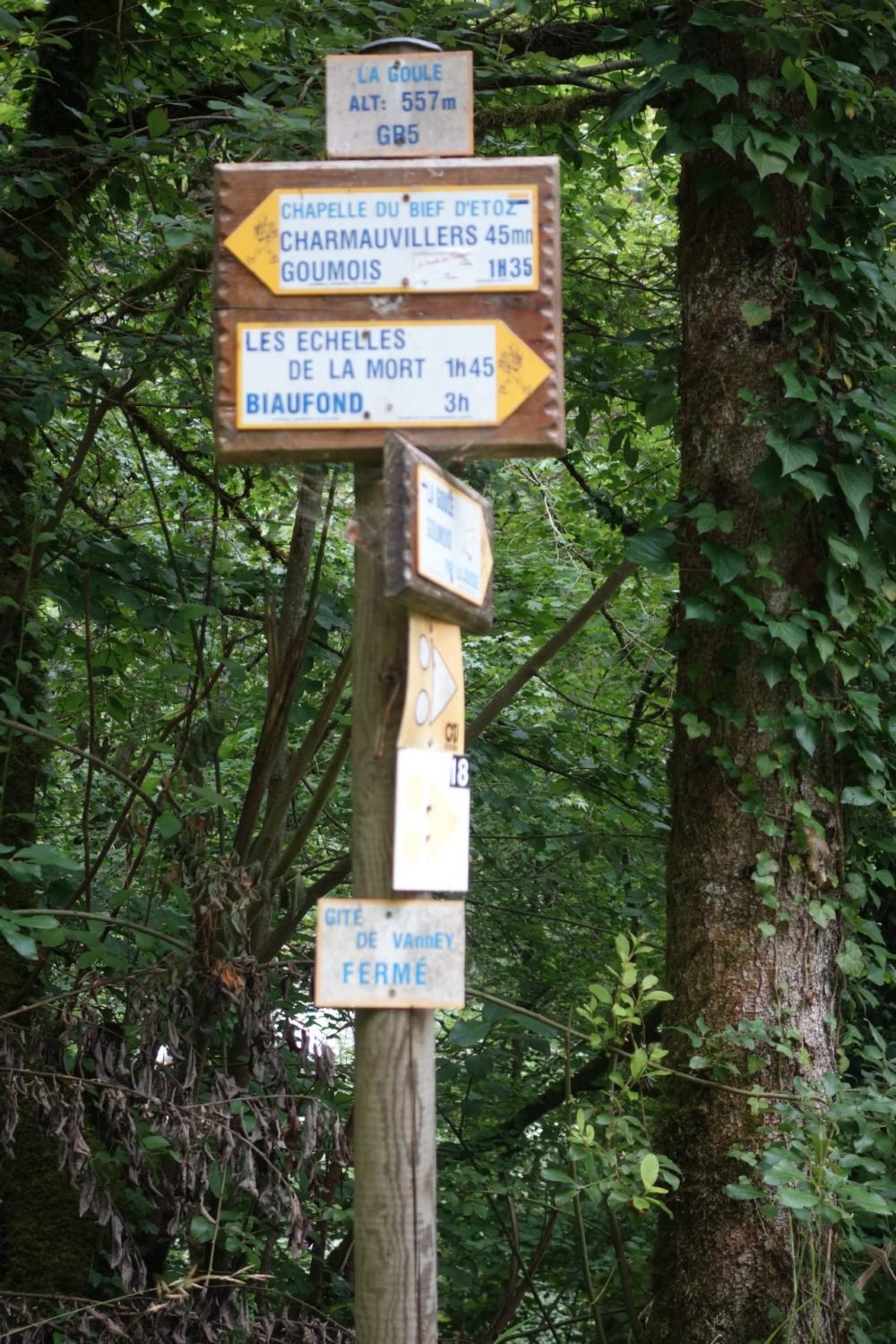
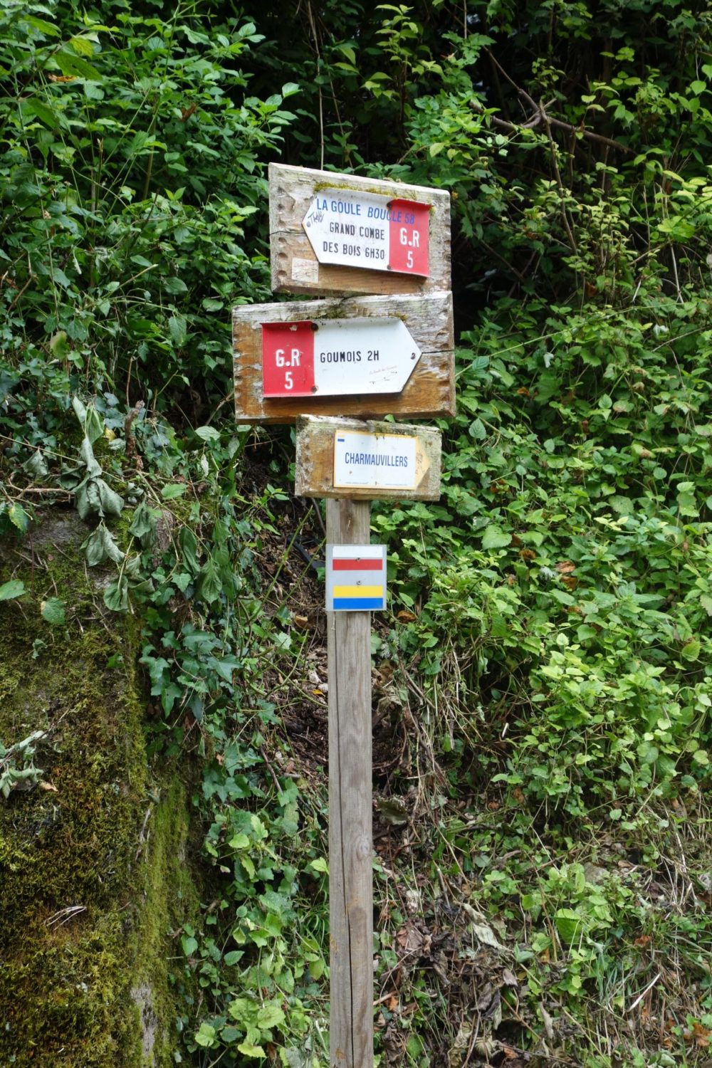
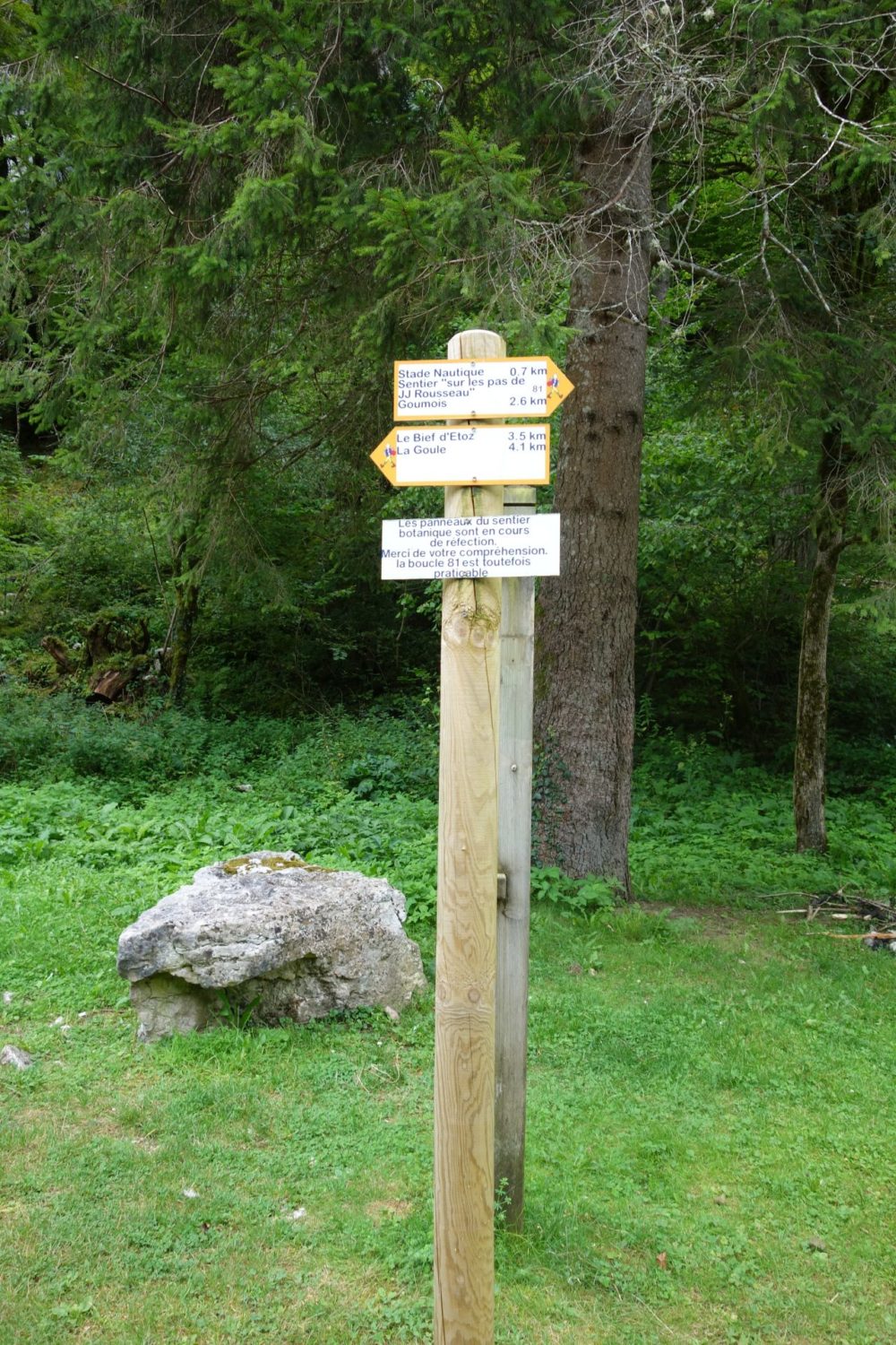
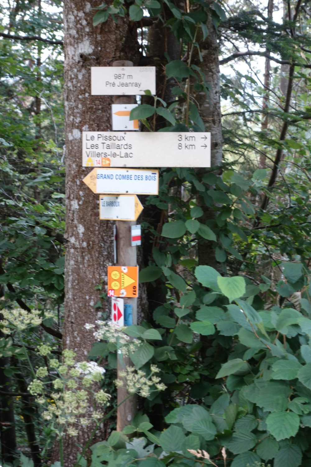
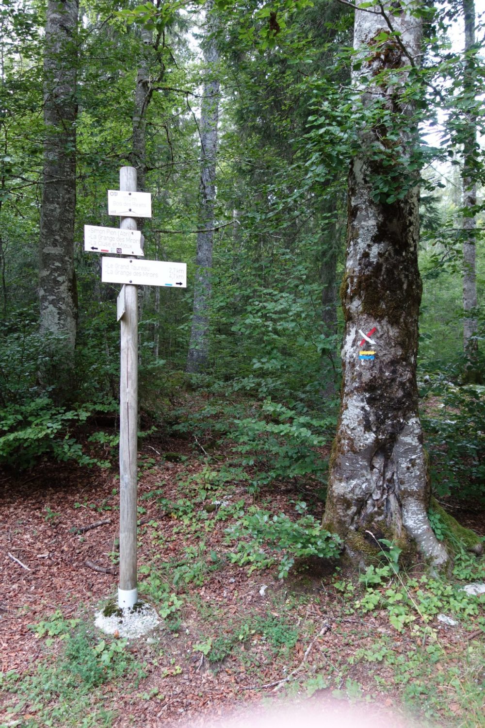
This 1rst day I walked a total of 28 kms with a total elevation of 761m. The paths are nice for the first half. The the signposting for the GTJ is excellent, you won’t need a map or a GPS, (although later you will). I eventually stopped at a town called Pont de Roide, and had a good cheap lunch at a restaurent called La Promenade. I recommend it.
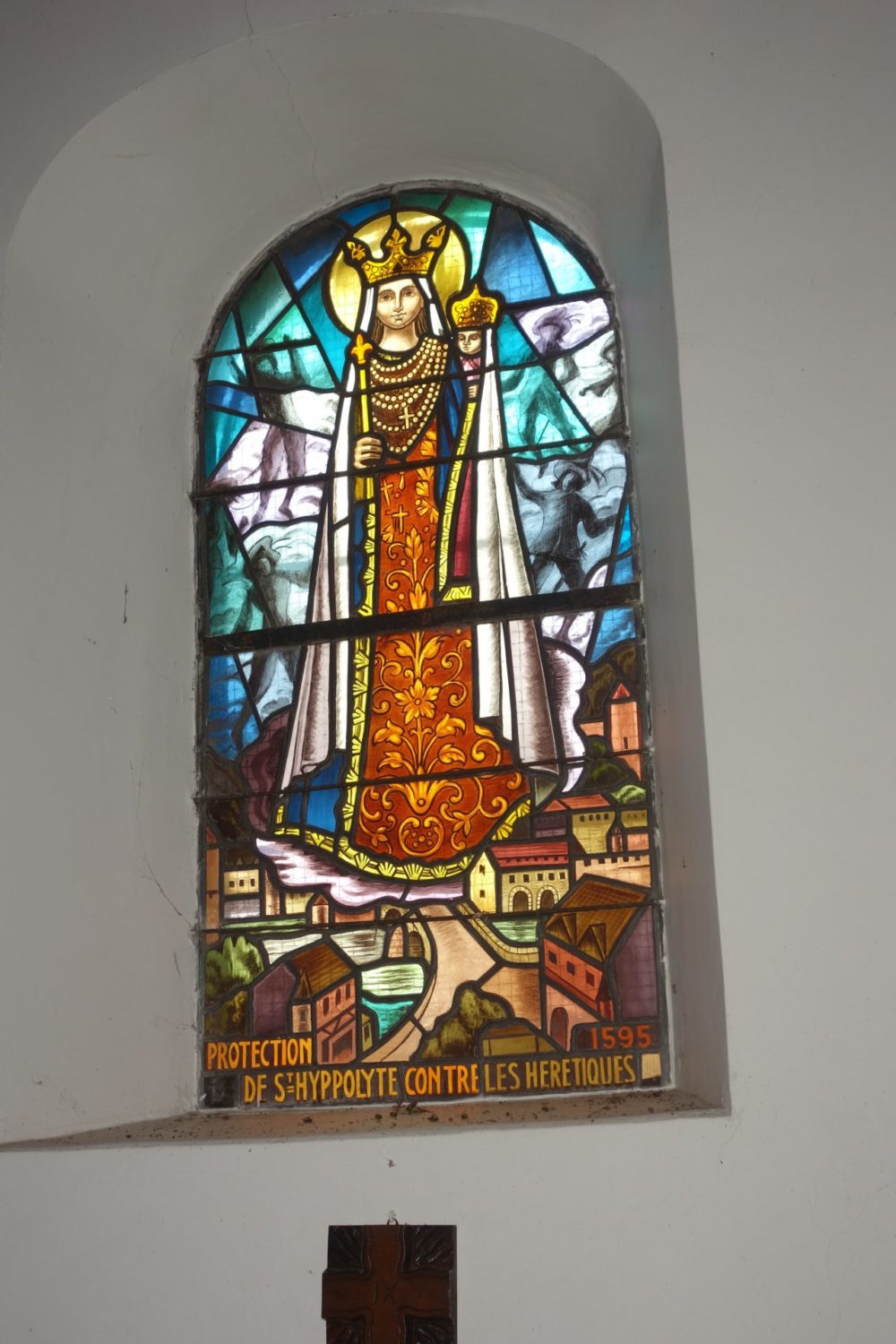
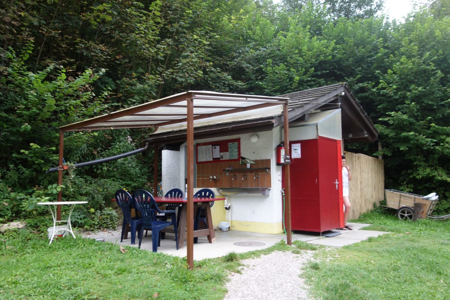
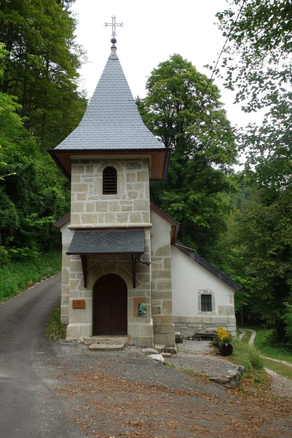
After leaving this town. There’s is a little bit of road and the signposting is no longer as good. You will climb up to around 820m. Finally arriving at Saint Hippolyte where there is a camp site, enough room for tents, it’s by the river and once again toilets, showers etc were nice and clean. Even managed to buy a beer from the reception. A good end to the first day.
If you don’t want to stay at the camping, just stay on the GR for a little while just after the camping, there are plenty of places to pitch a tent for a bivouac.
Here is the GPX trace that I recorded on my Garmin 66i, you can download it here bit.ly/2Y09xyR
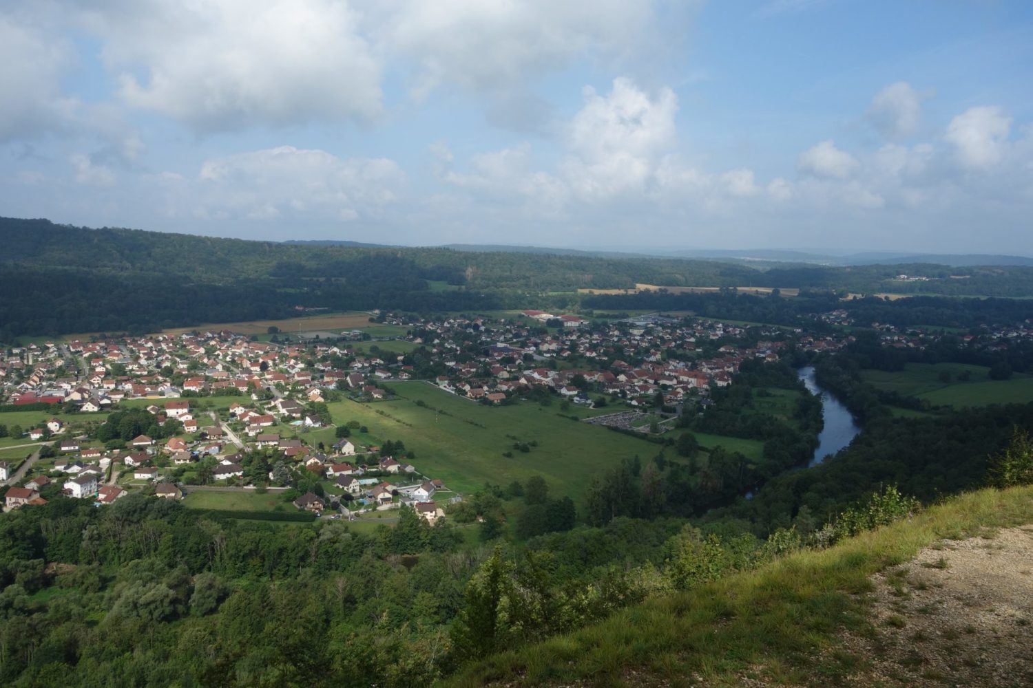
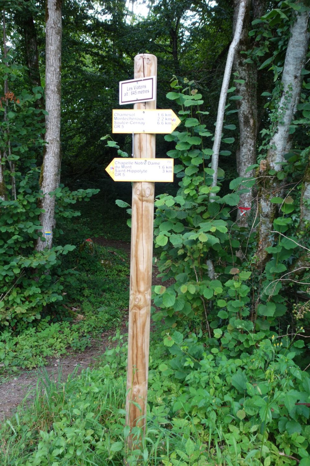
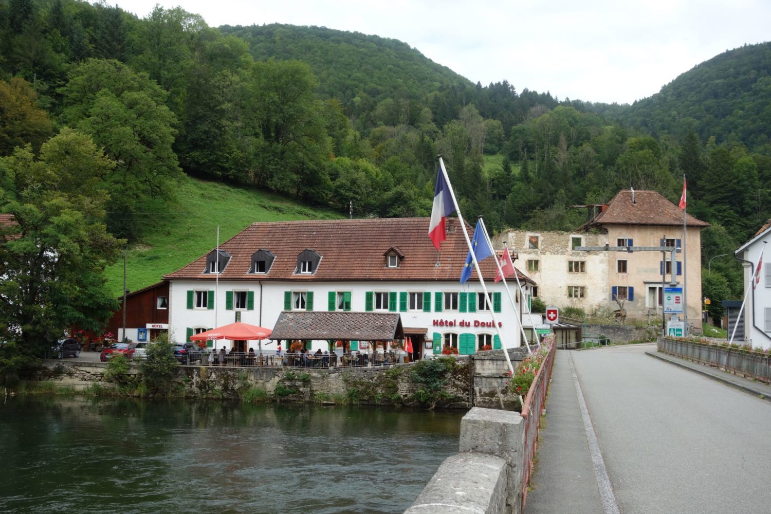
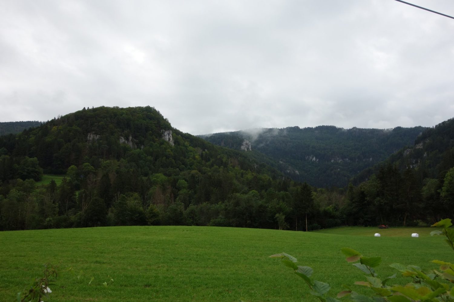
Saint Hippolyte – Goumois. Day 2
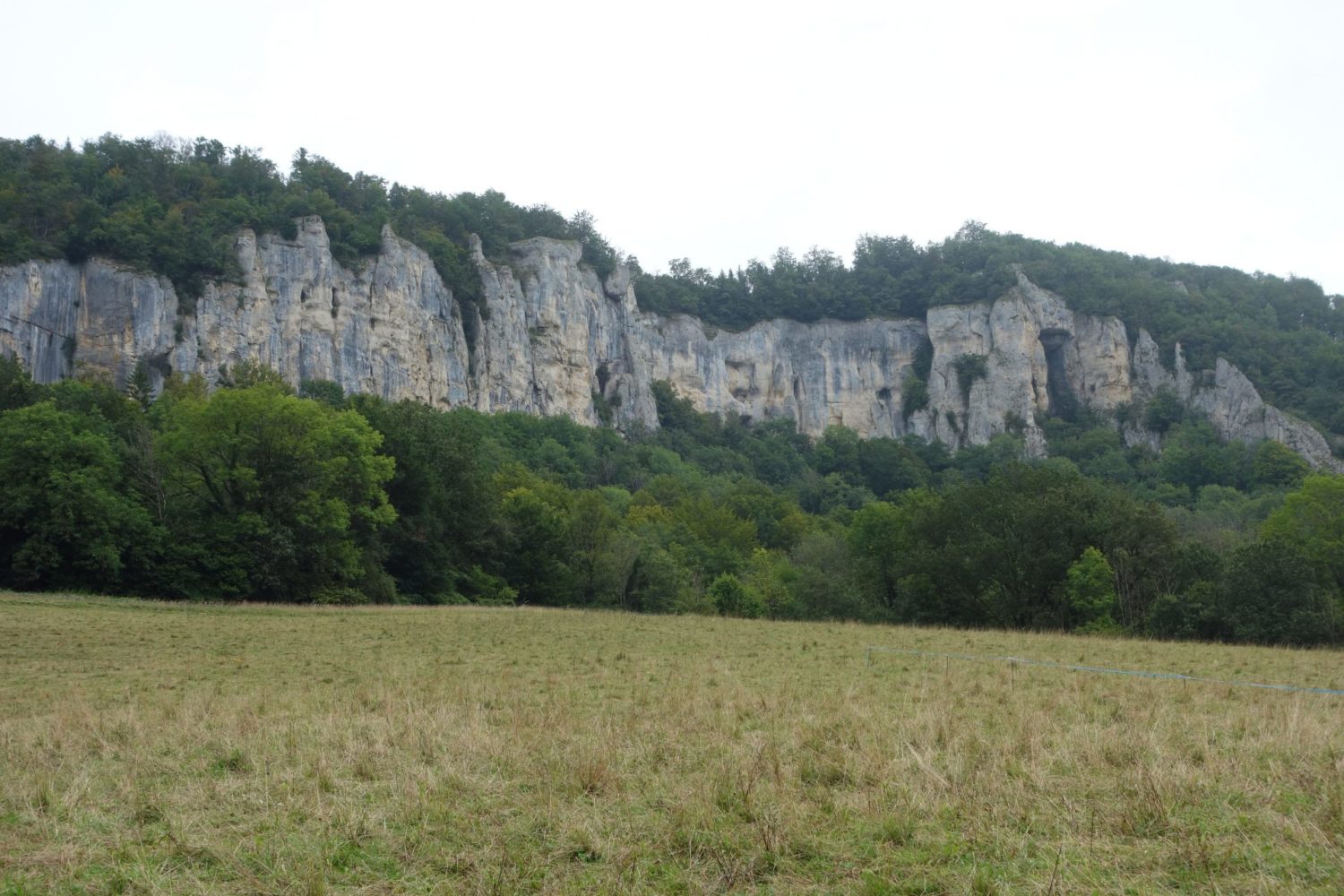
Leaving the camping at Saint Hippolyte, you are straight away on the GR509 and also the GR5. (The GTJ is also the GR509 and the GR5) Once again the paths are lovely. To Goumois its a total of 26 kms. Although this is a shortish walk, there is a lot of climbing to do, as I did more than 1000m for only 26kms.
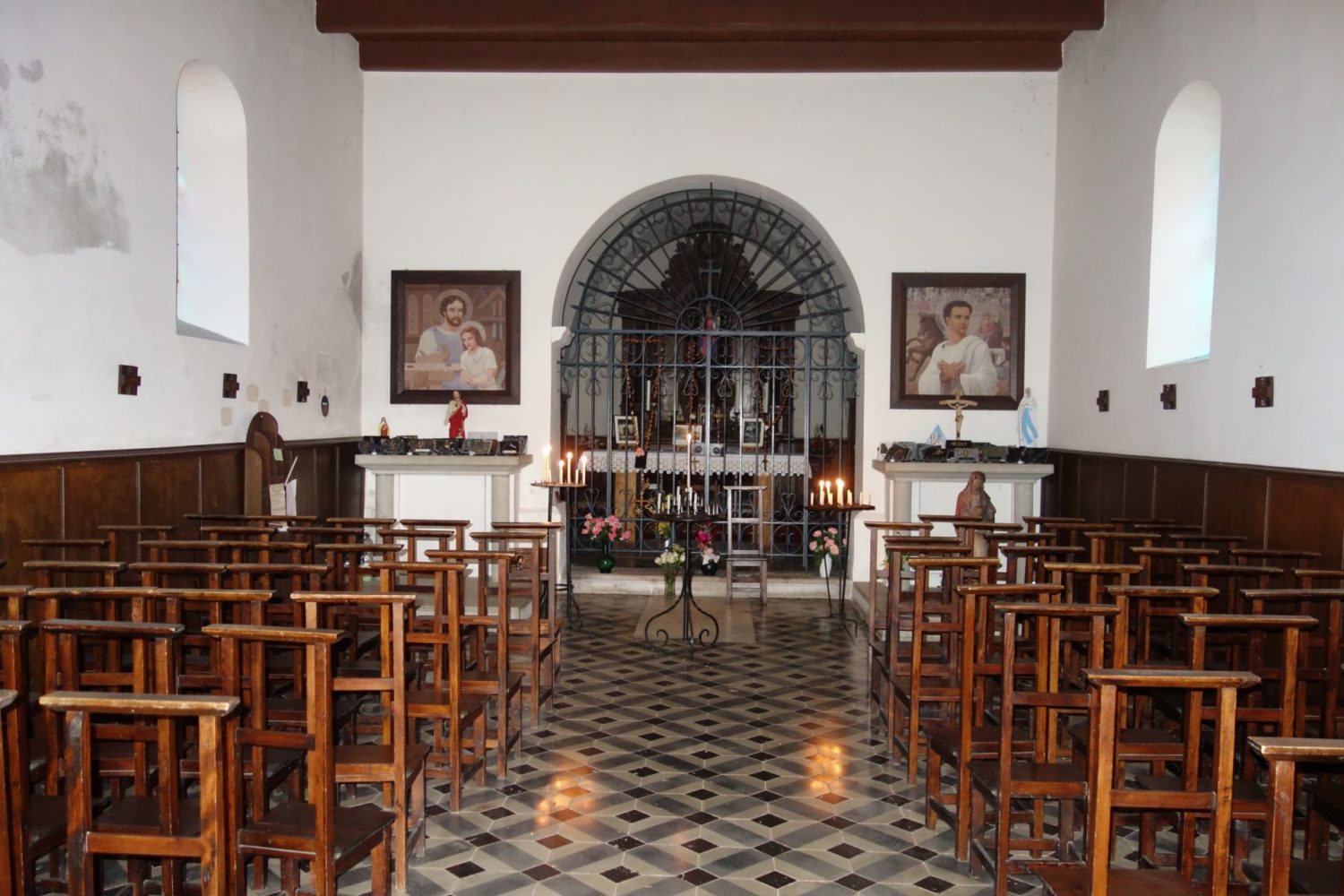
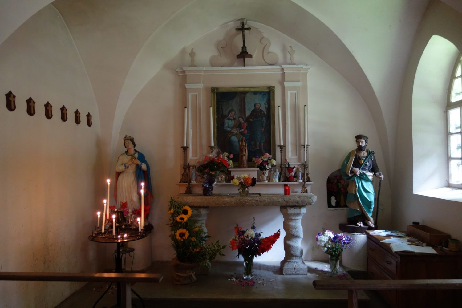
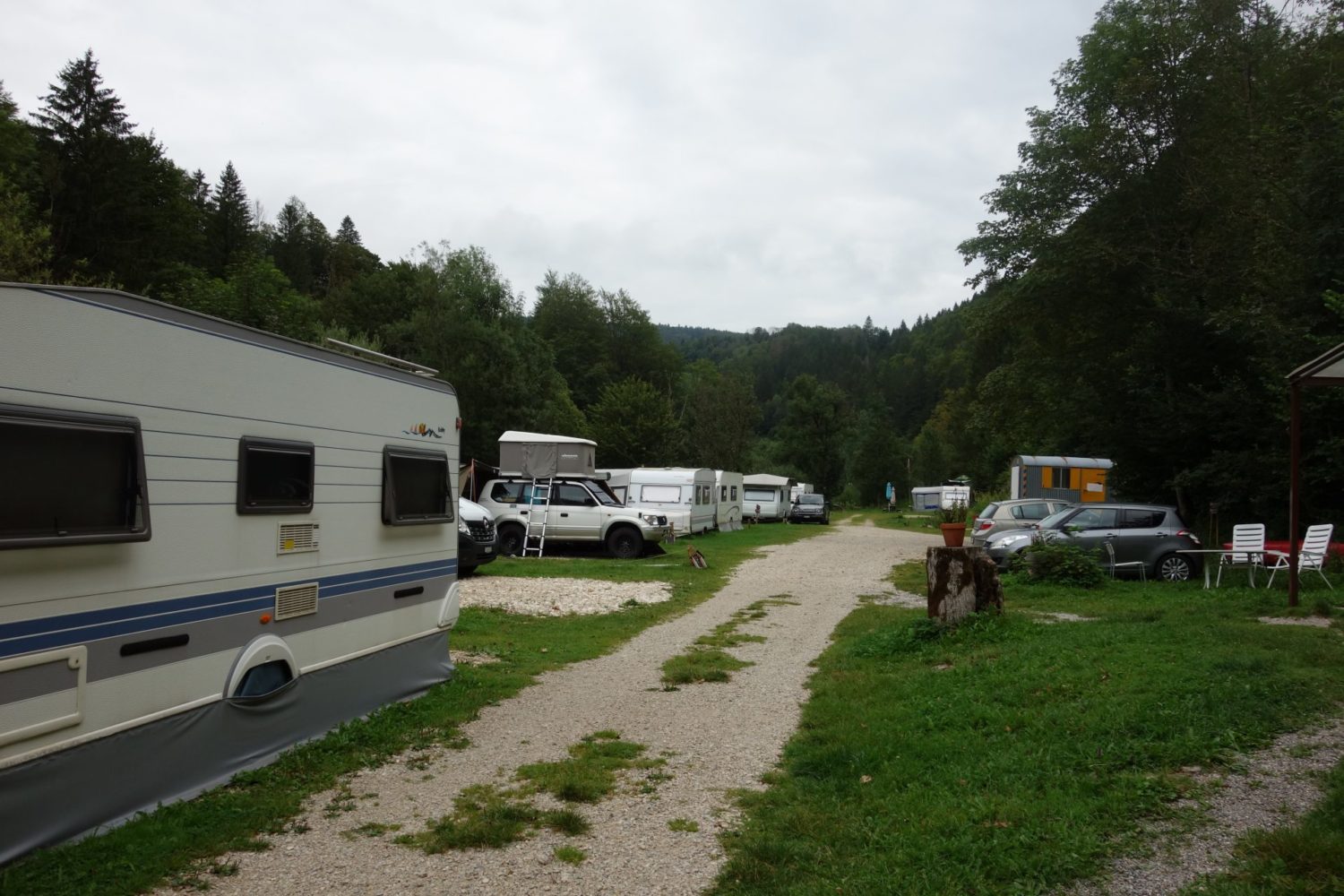
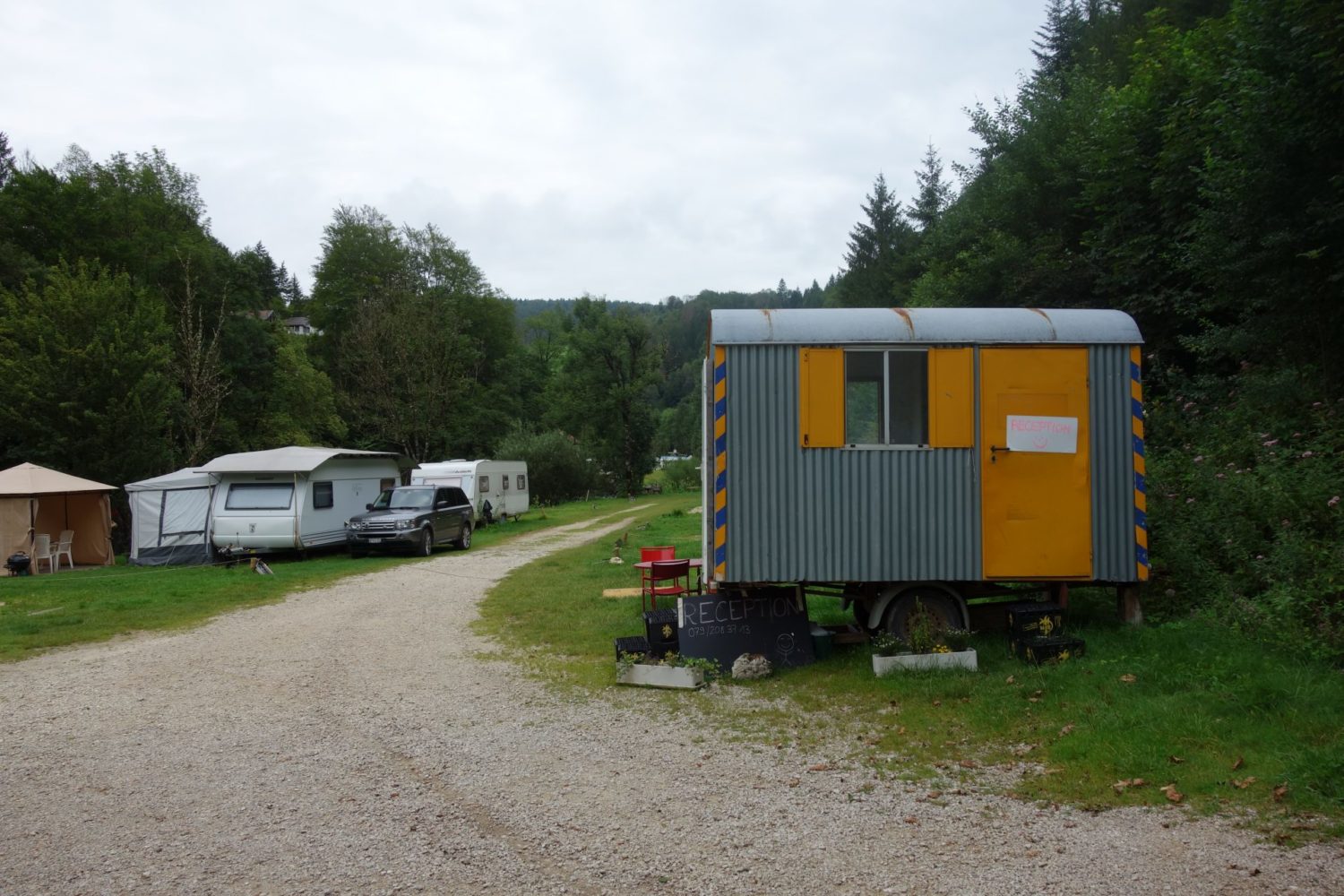
In Goumois there are 2 camp sites. Both near the town’s only bridge. One on the French side, and another the Swiss side, which is closer, and also as there was nobody in the reception (big word, as its just a small caravan) I didn’t / couldn’t pay. Two toilets and one shower, as it’s very small, but all good. I ate at the restaurent in the photos below, it’s only 200m away, just a cheese sandwich, a plate of chips and obviously a beer, 16 euros.
Be warned, because the next morning I thought I would buy a coffee in one of the two cafes I had seen on the French side, but both were closed….. though they were open yesterday evening. So grab your coffee or tea on the Swiss side. Also there are no shops in Goumois
Here is the GPX trace that I recorded on my Garmin 66i, you can download it here bit.ly/3gDwuyb
Goumois – Nowhere ??? Day 3
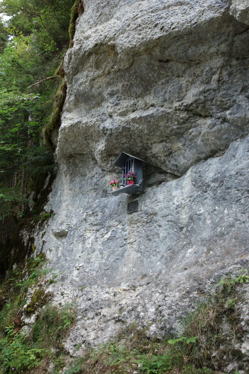
Why Nowhere, because I pitched my tent in someones garden.
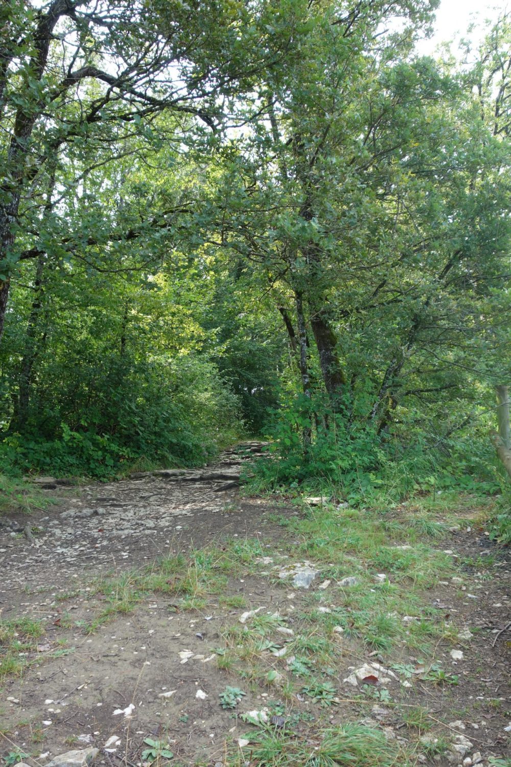
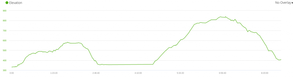
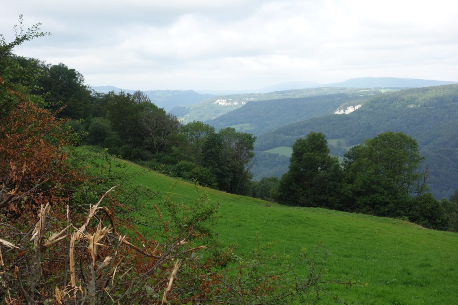
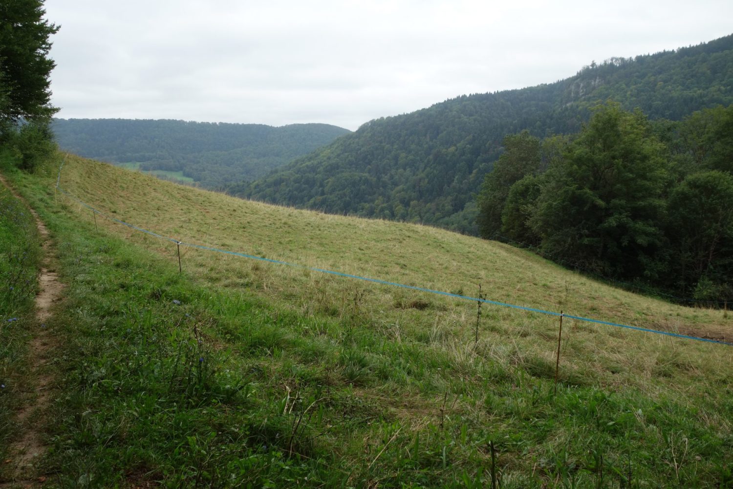
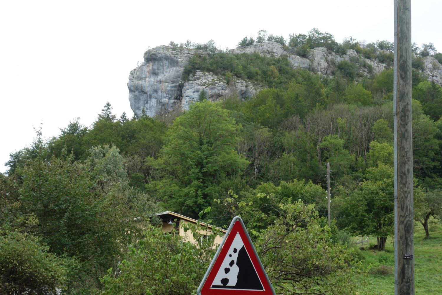
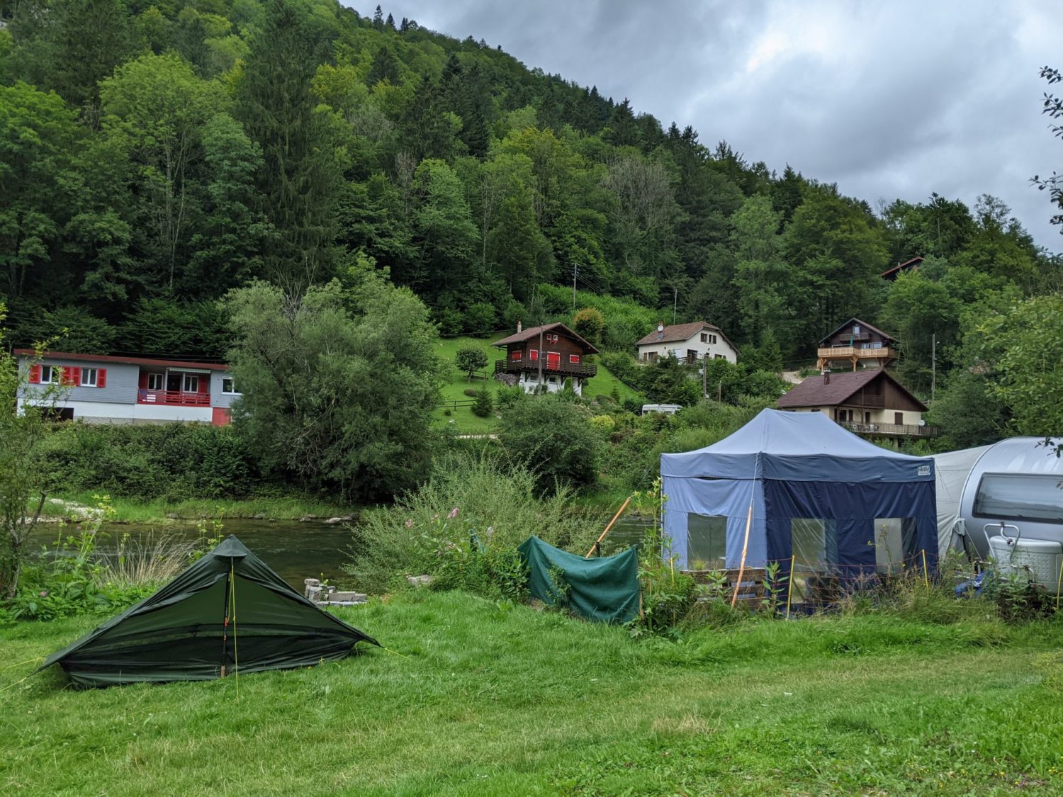
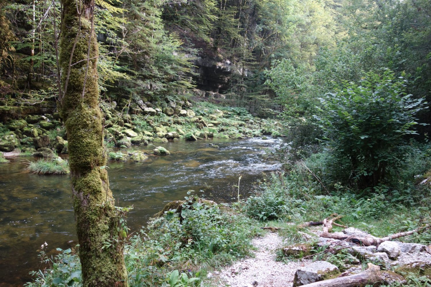
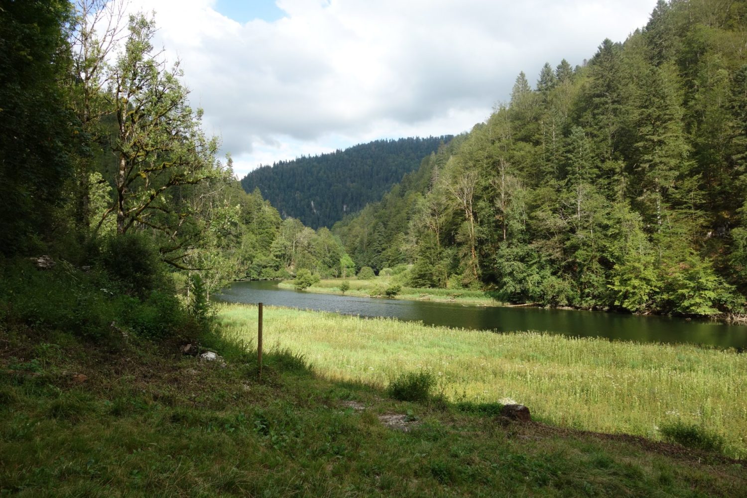
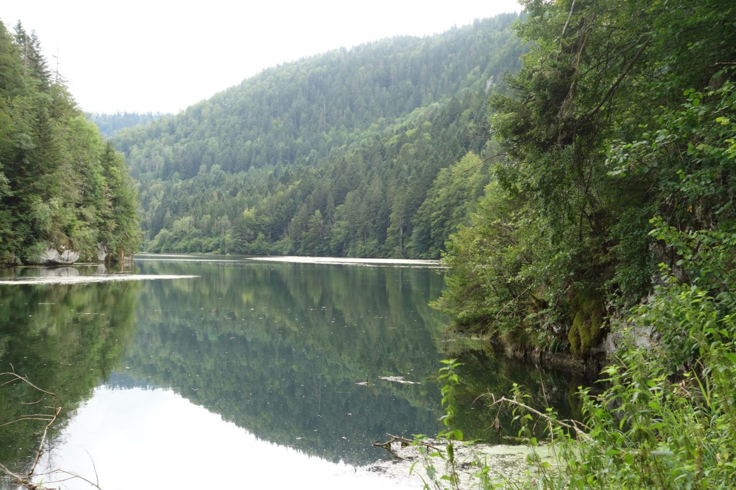
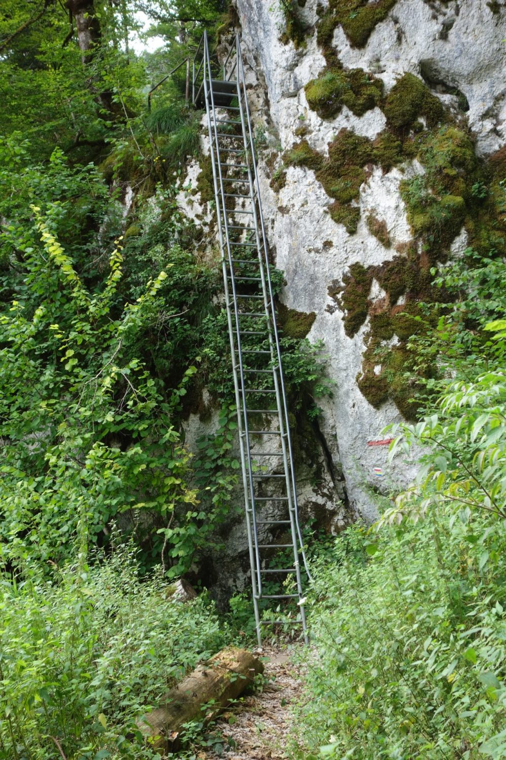
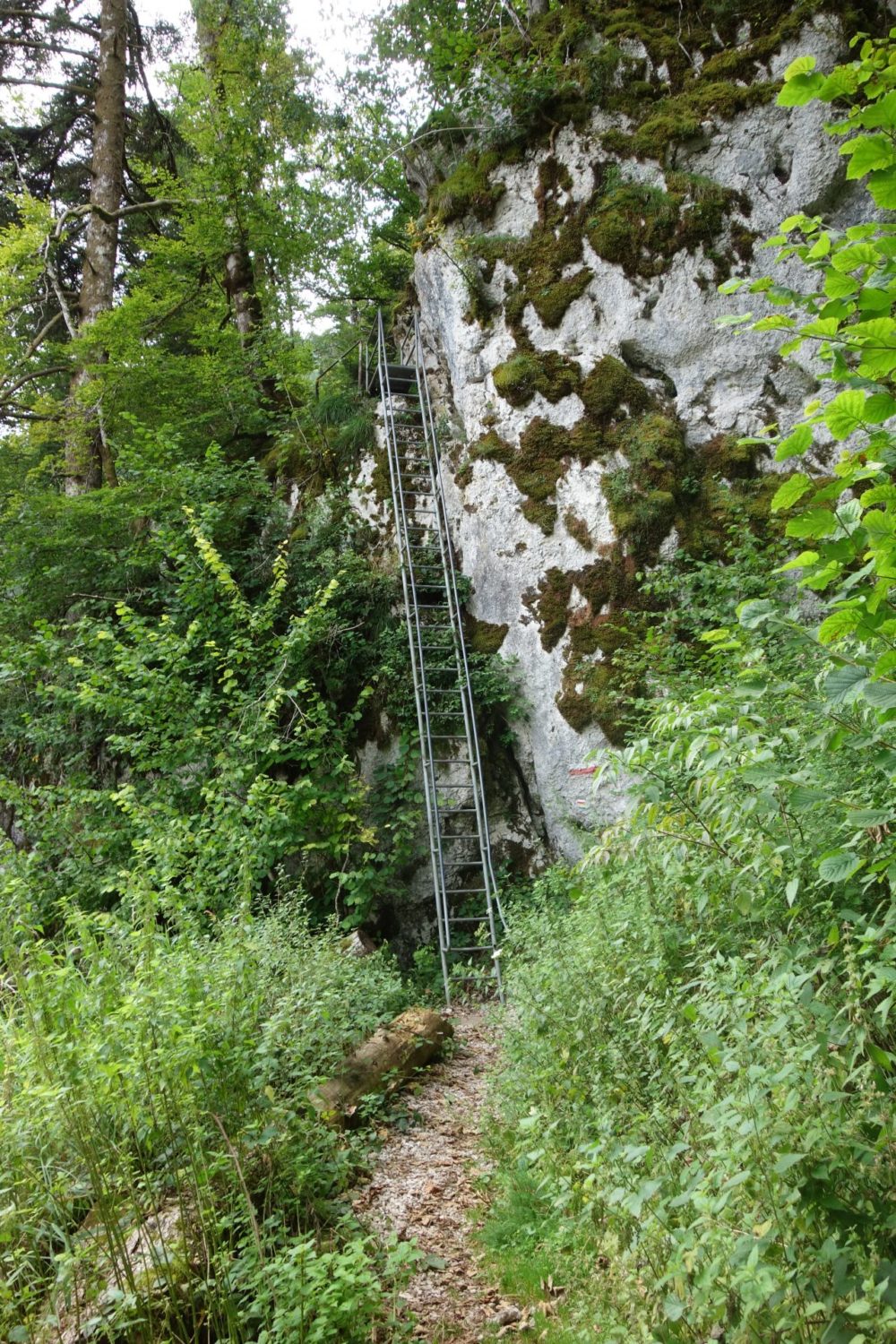
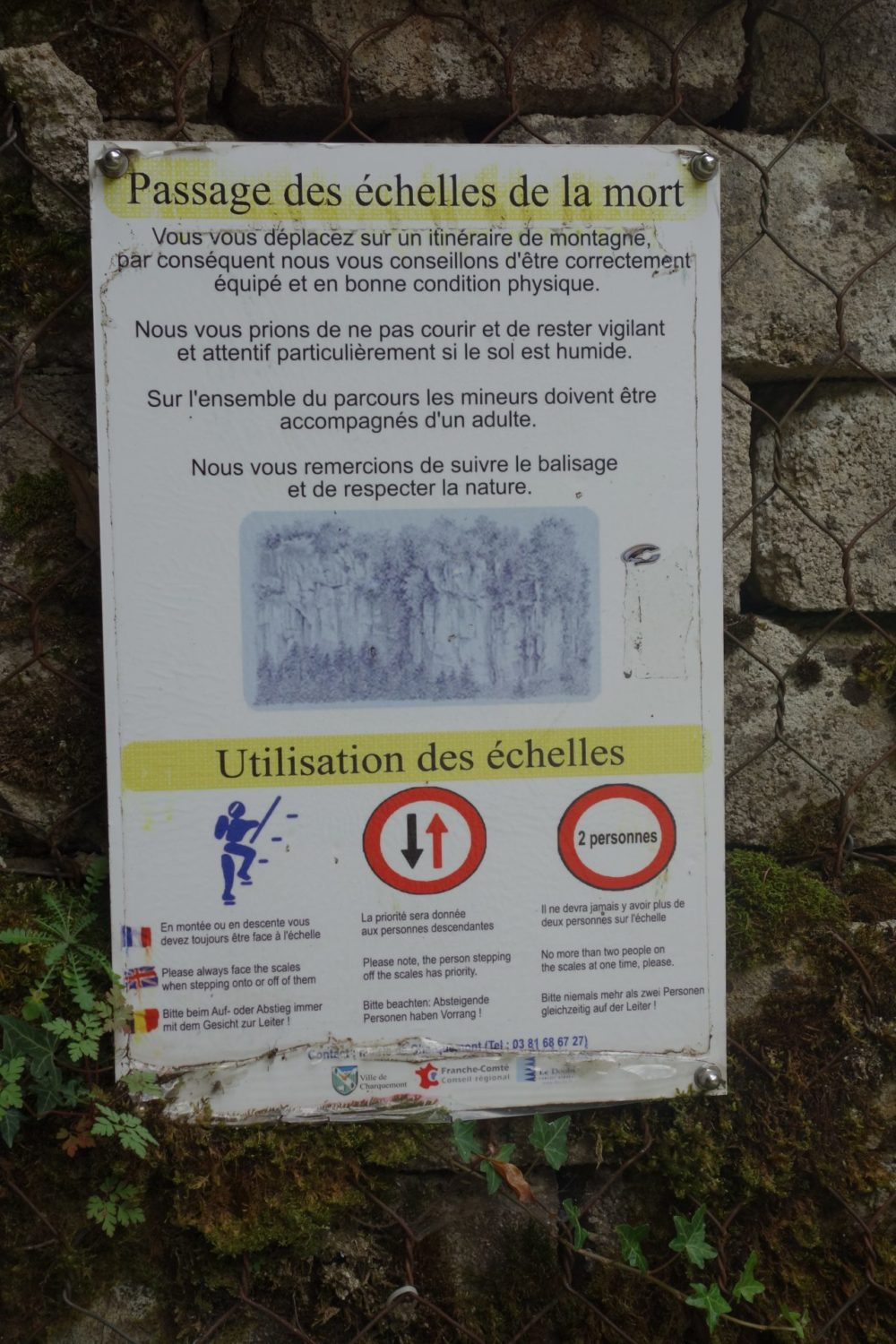
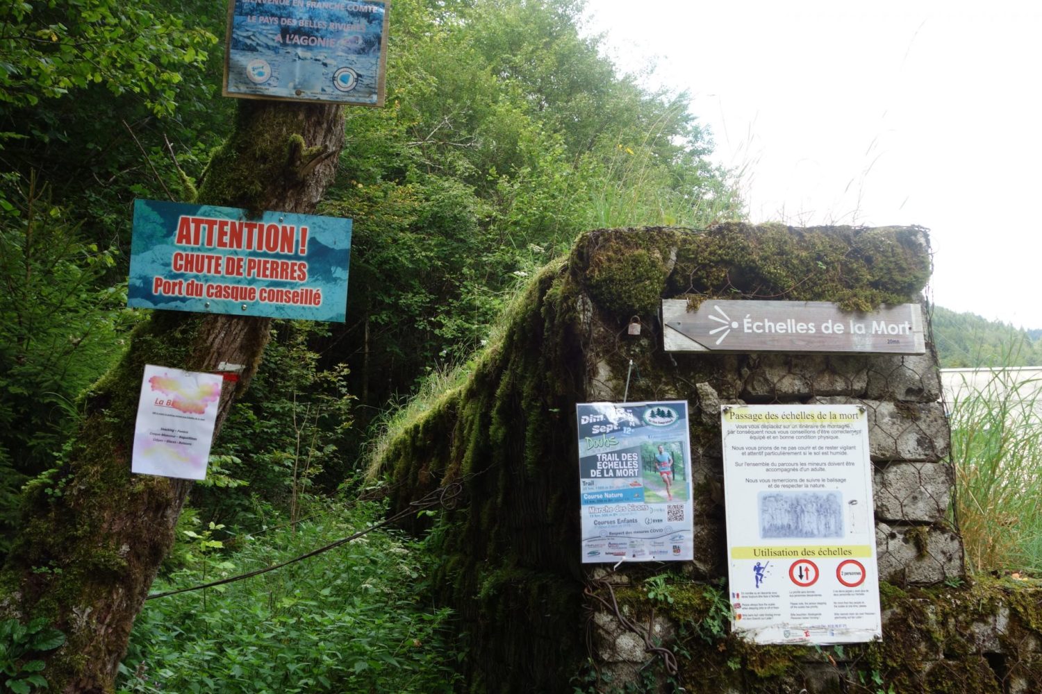
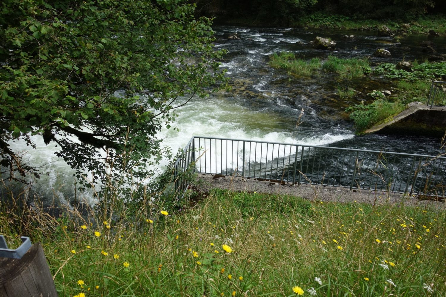
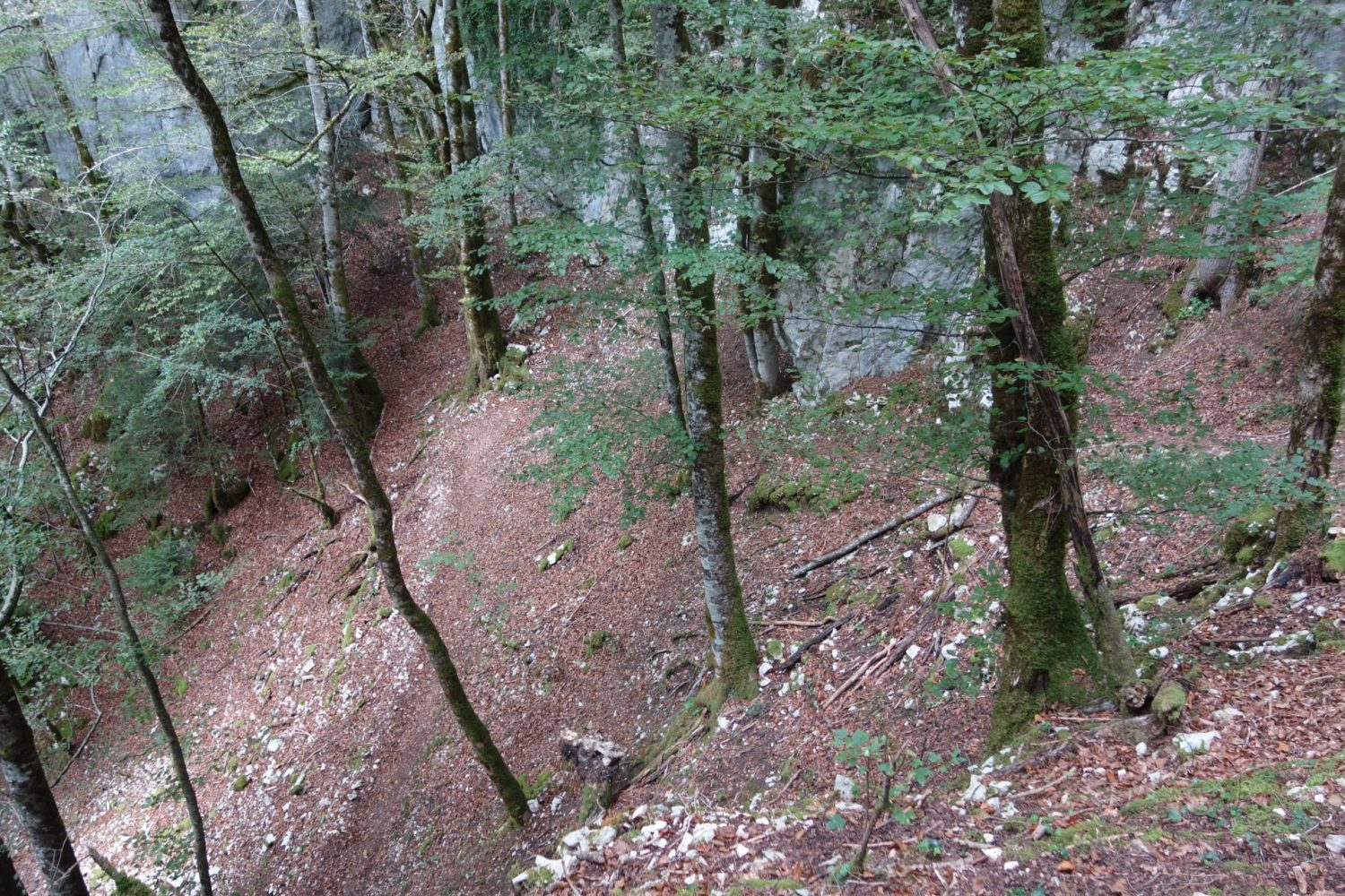
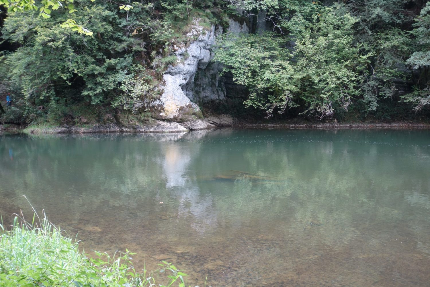
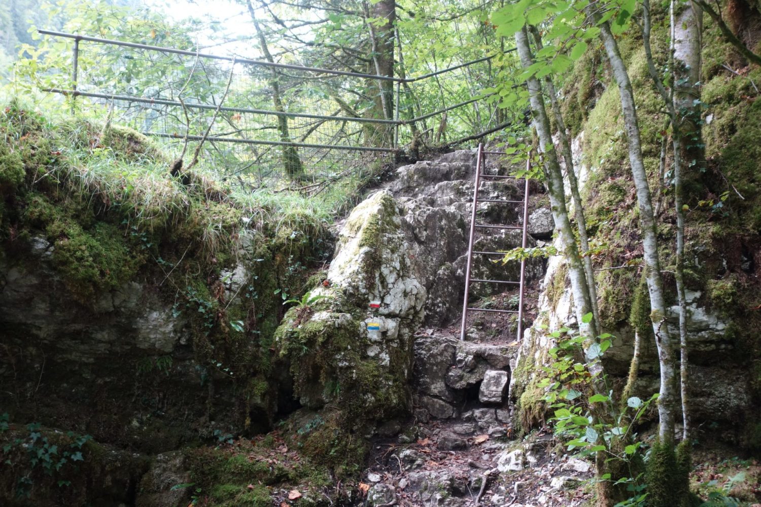
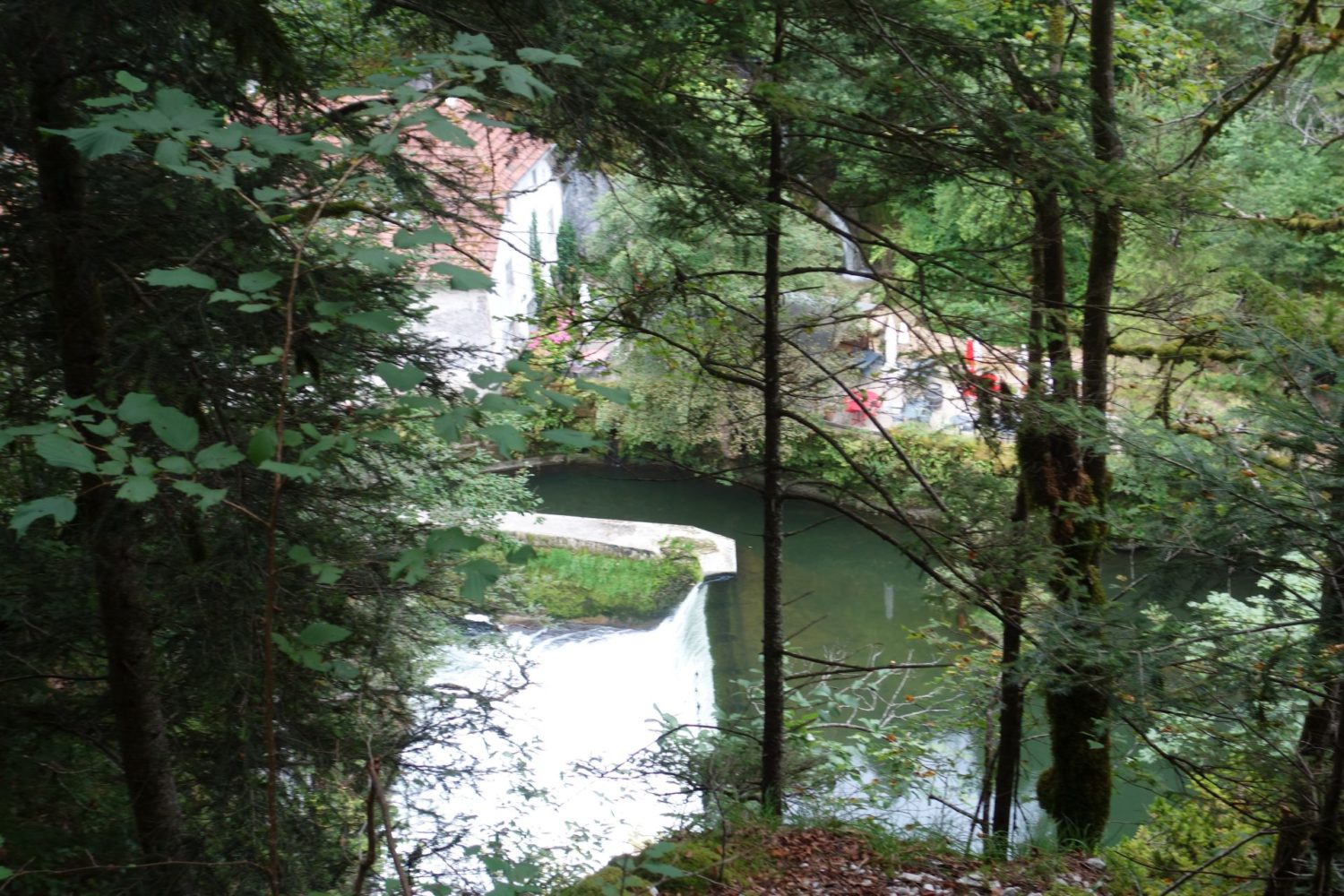
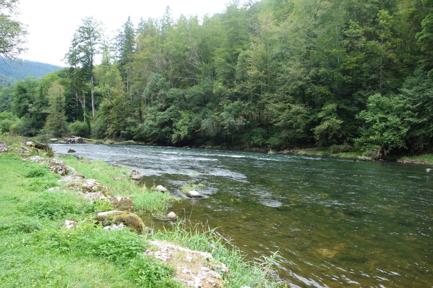
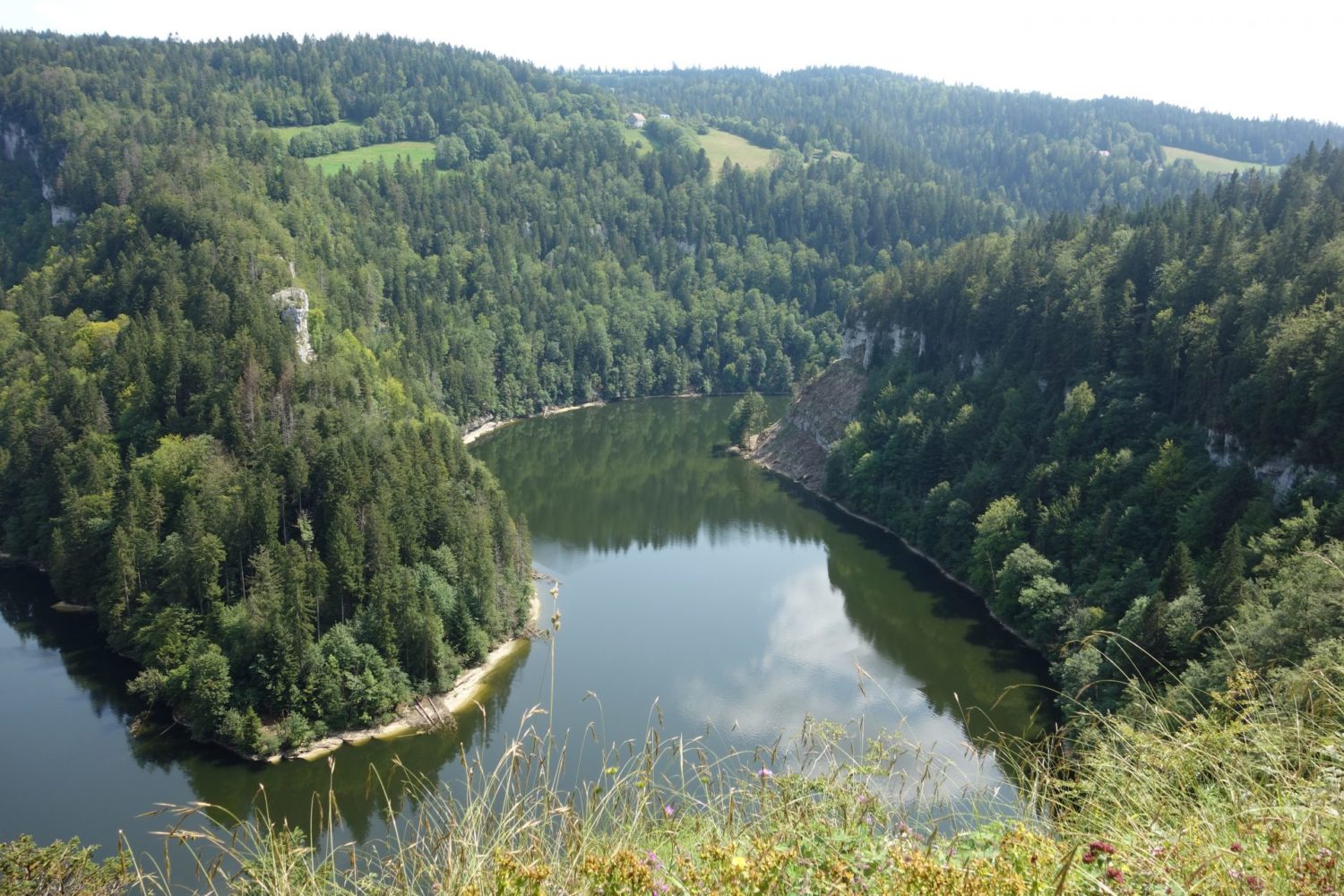
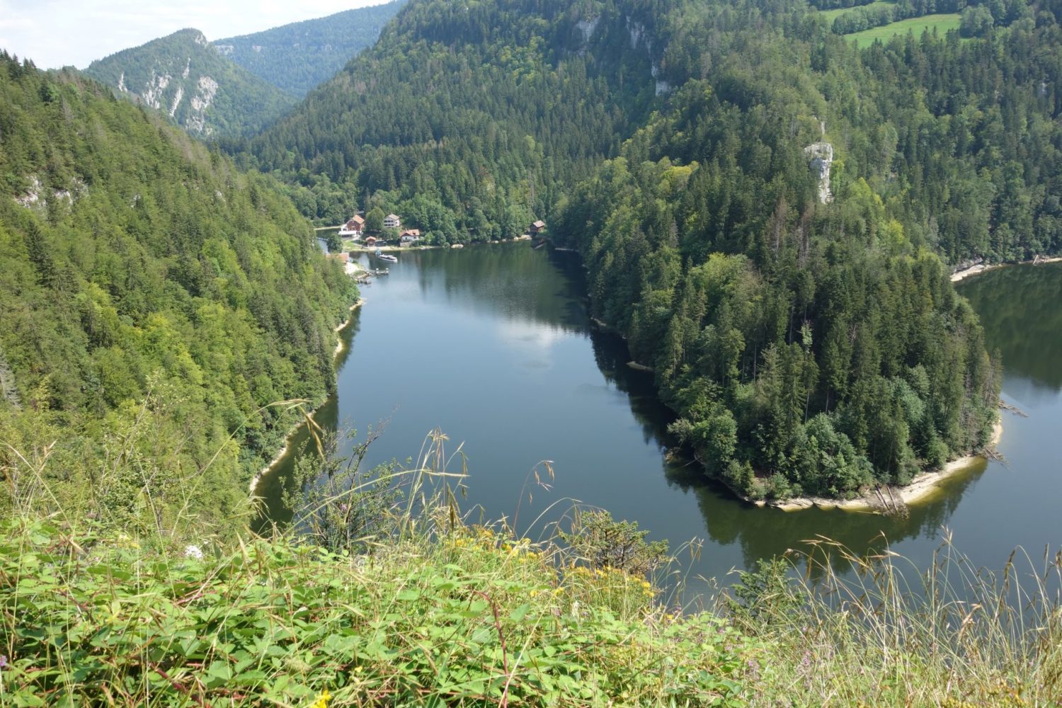
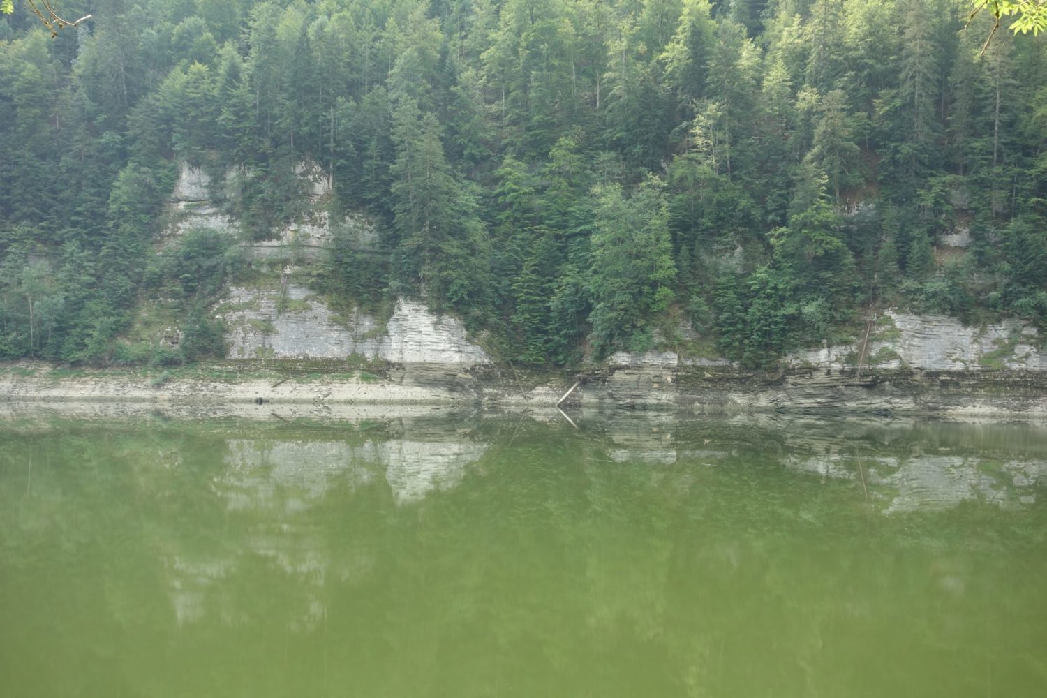
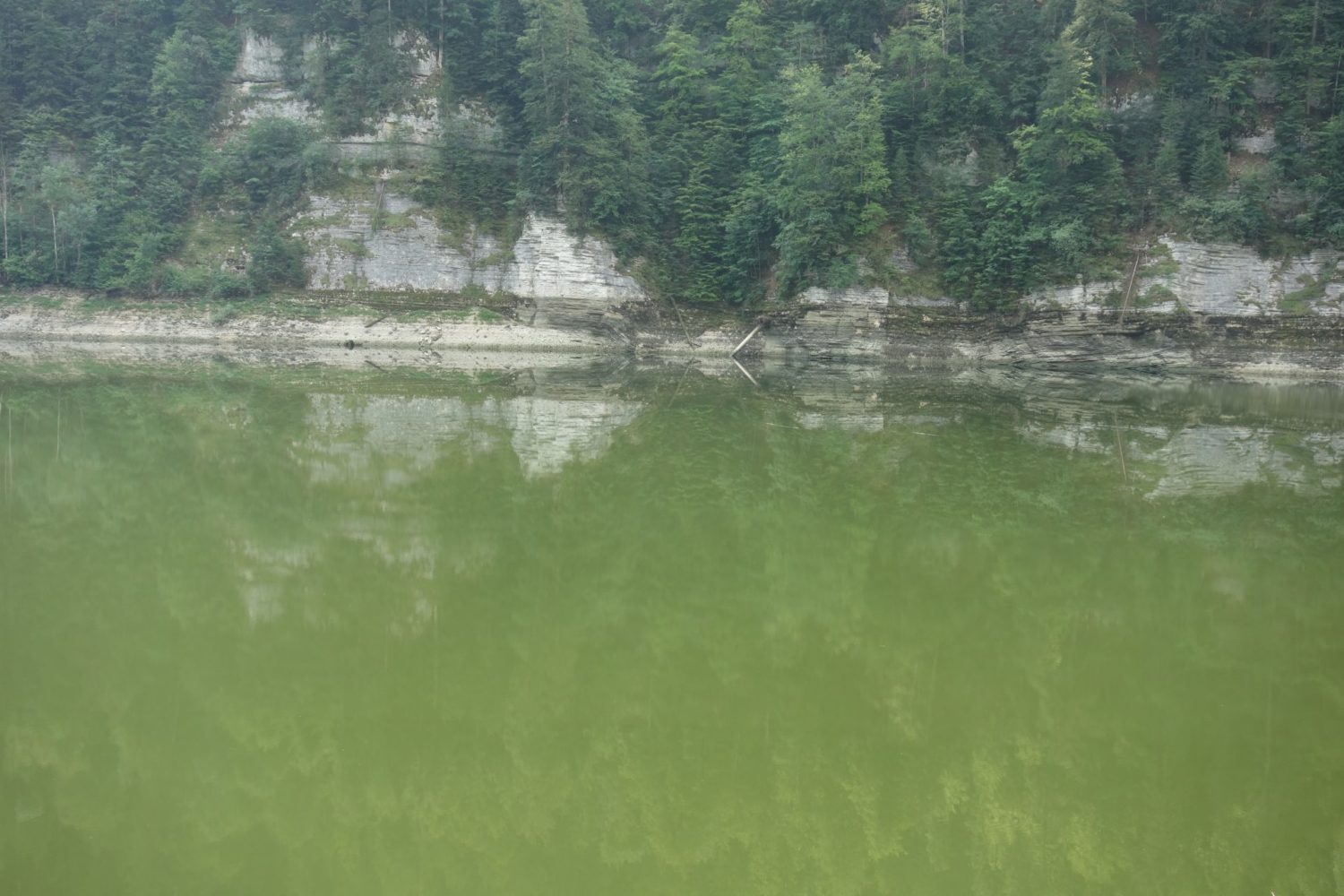
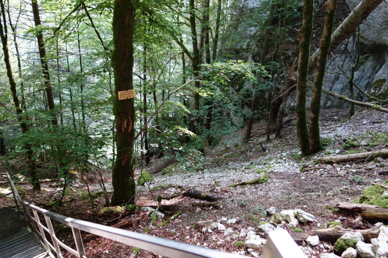
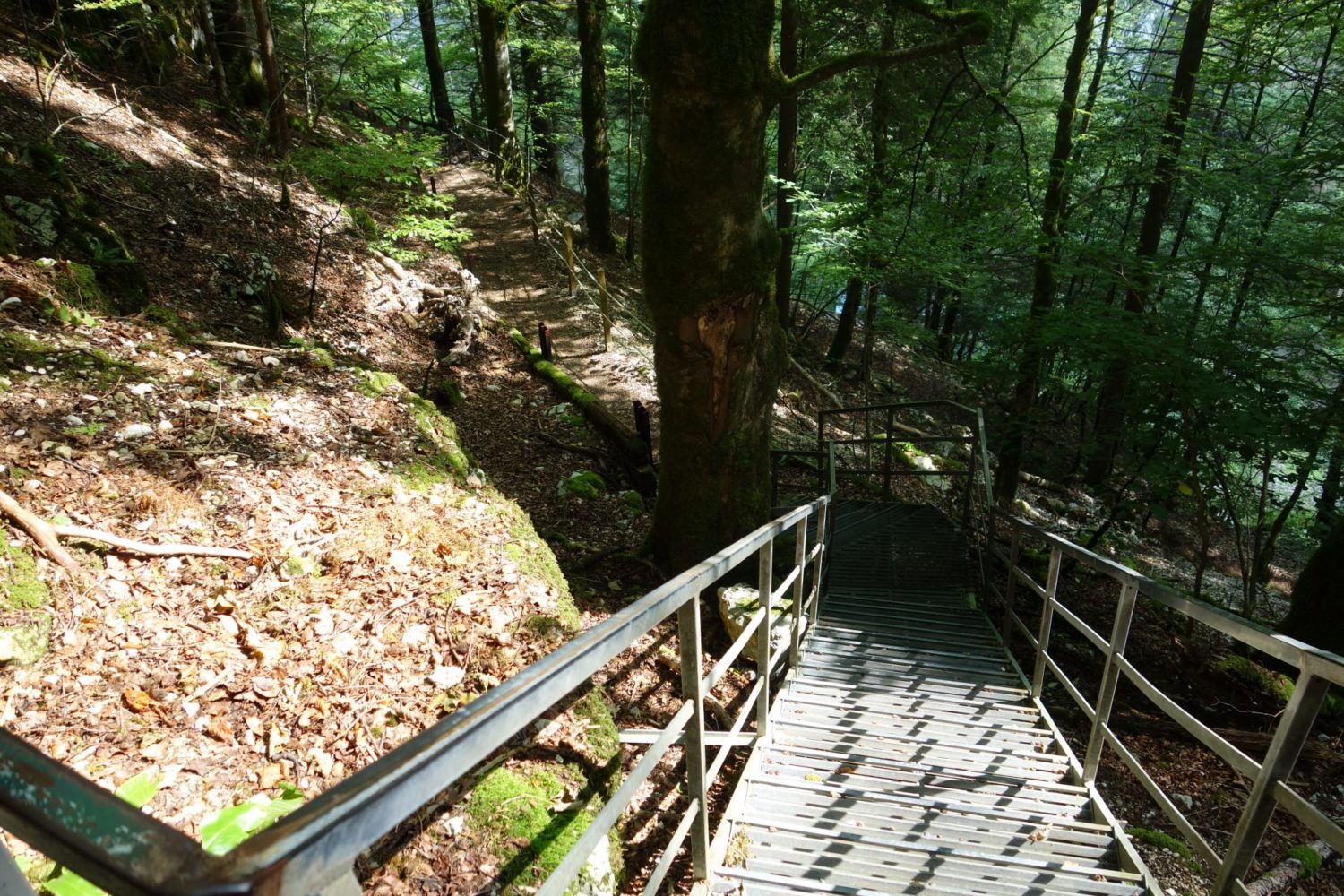
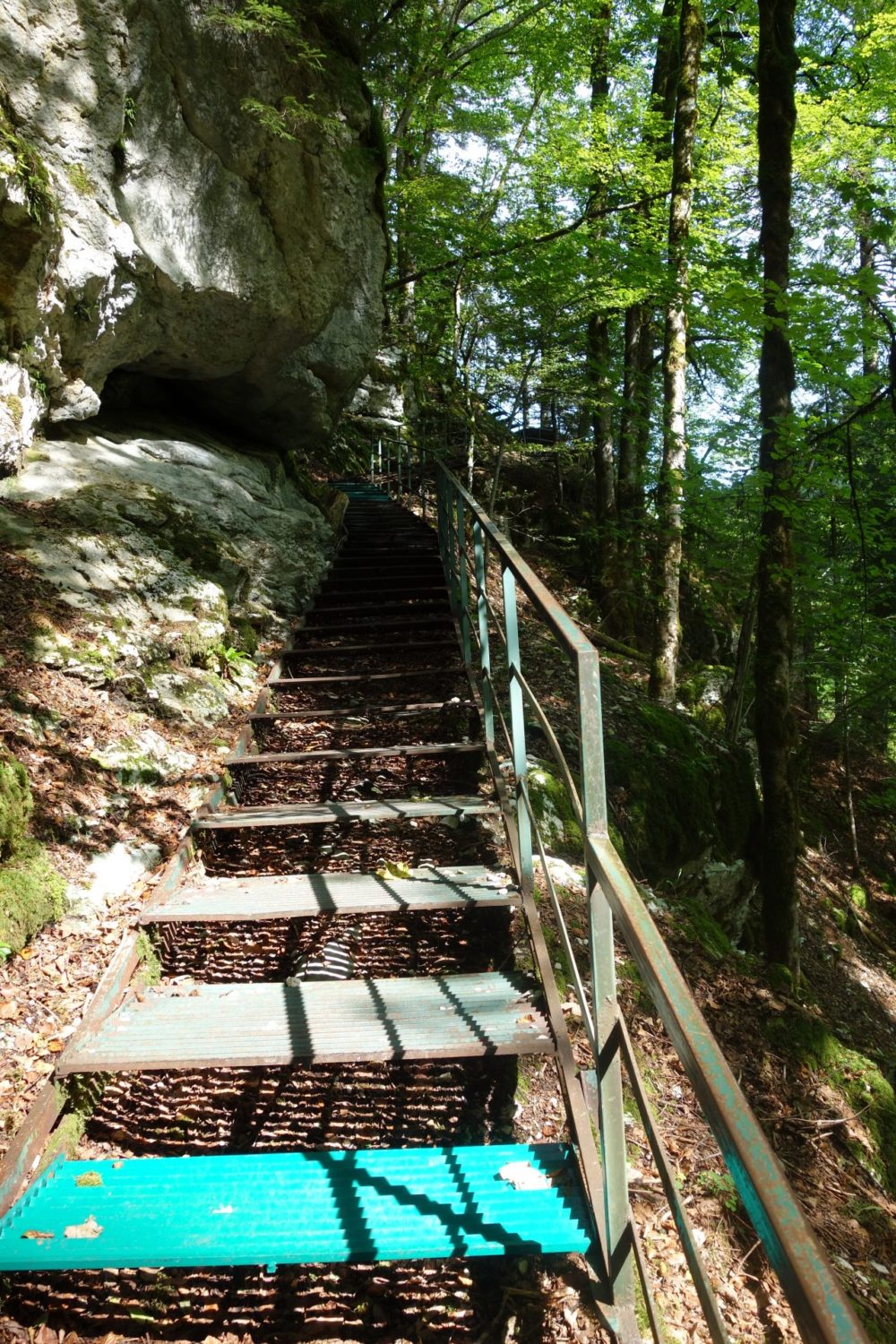
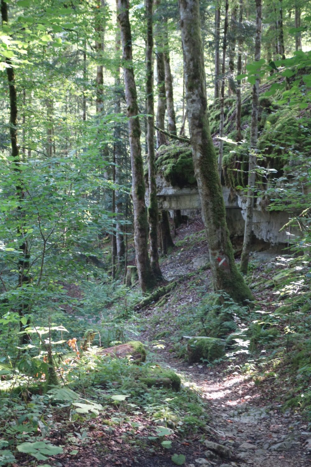
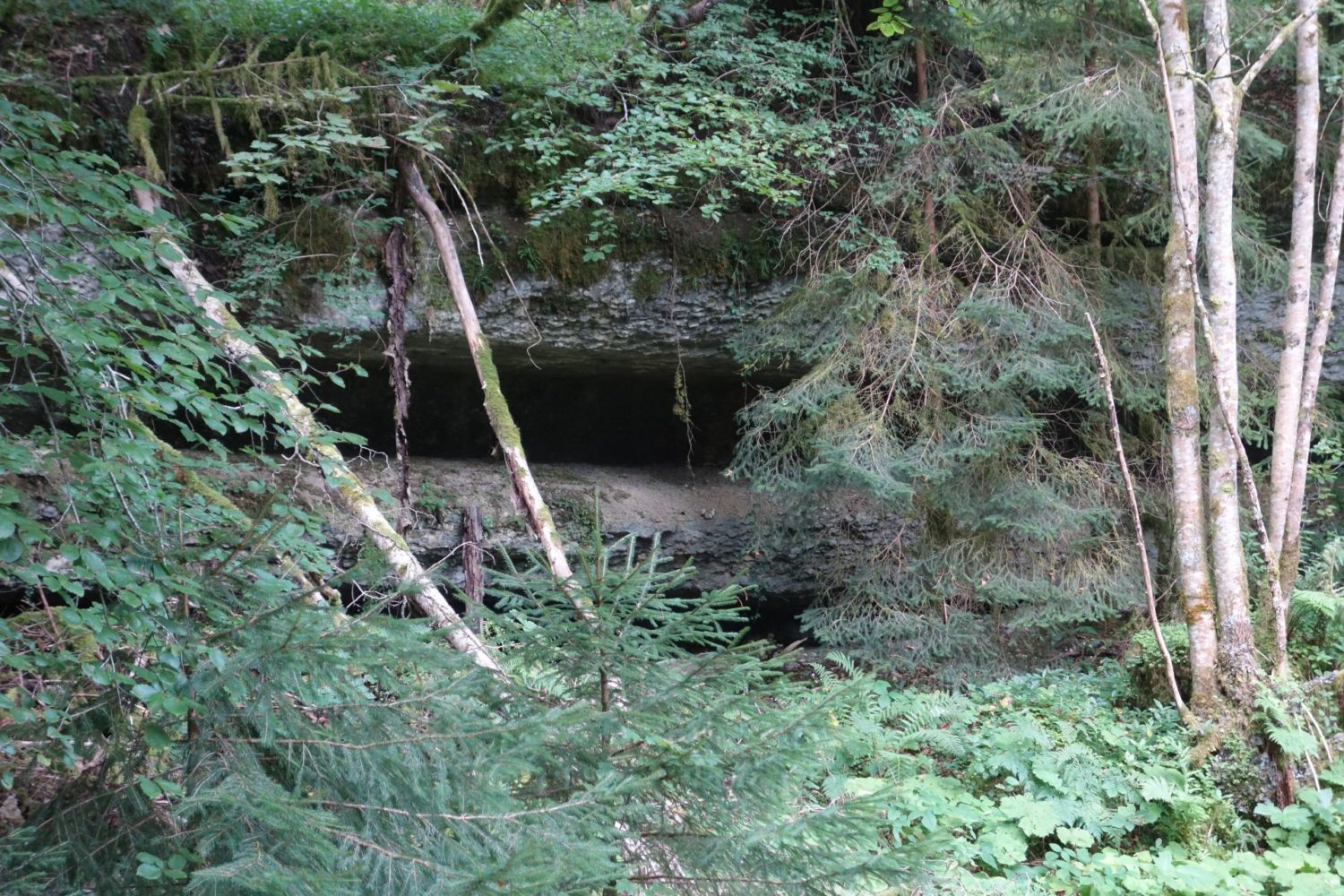
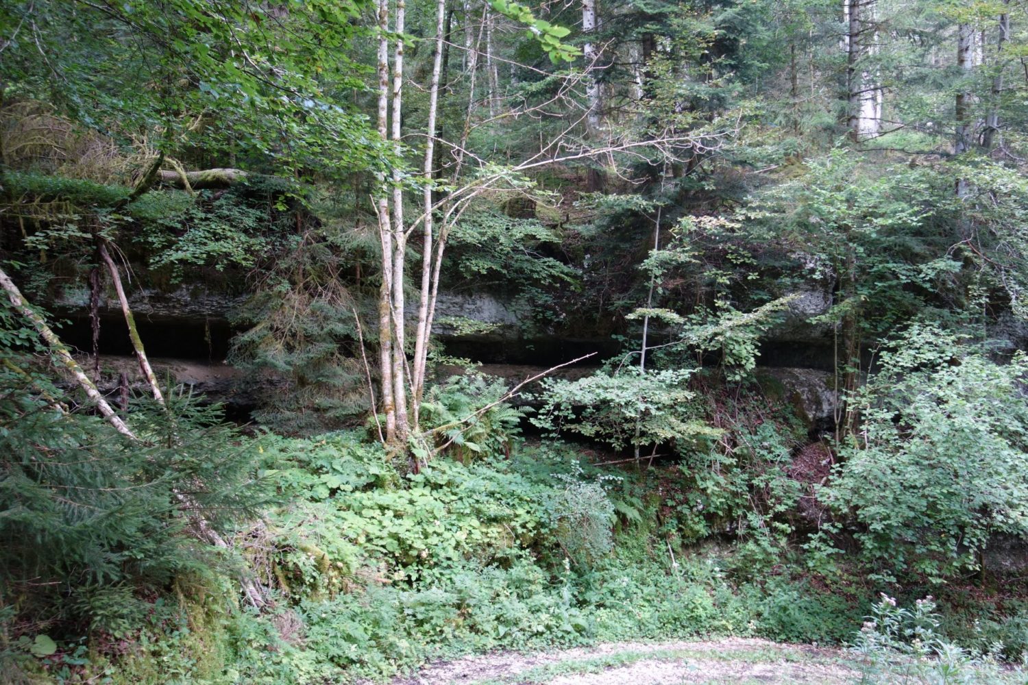
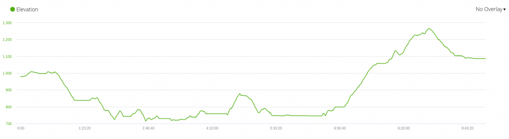
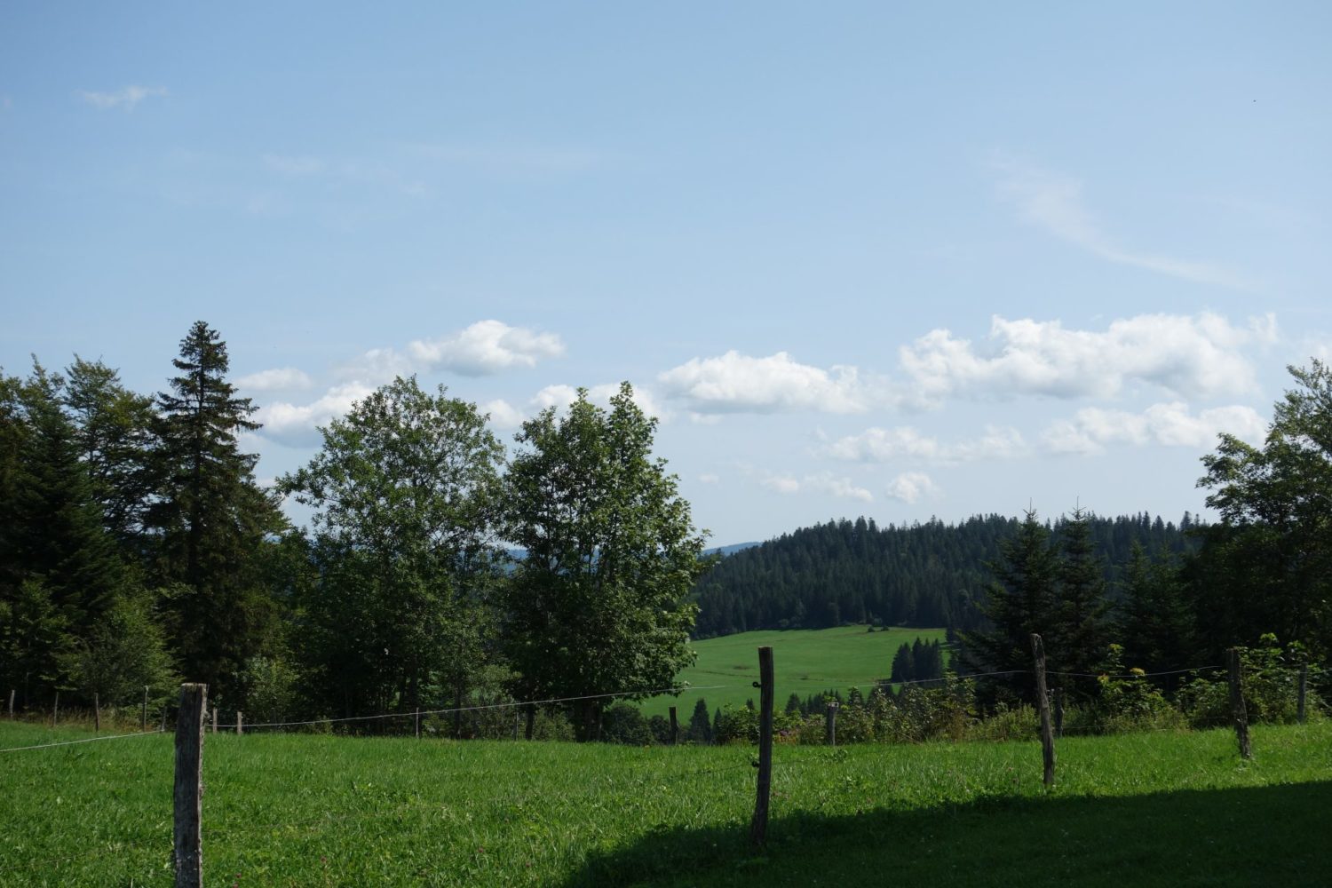
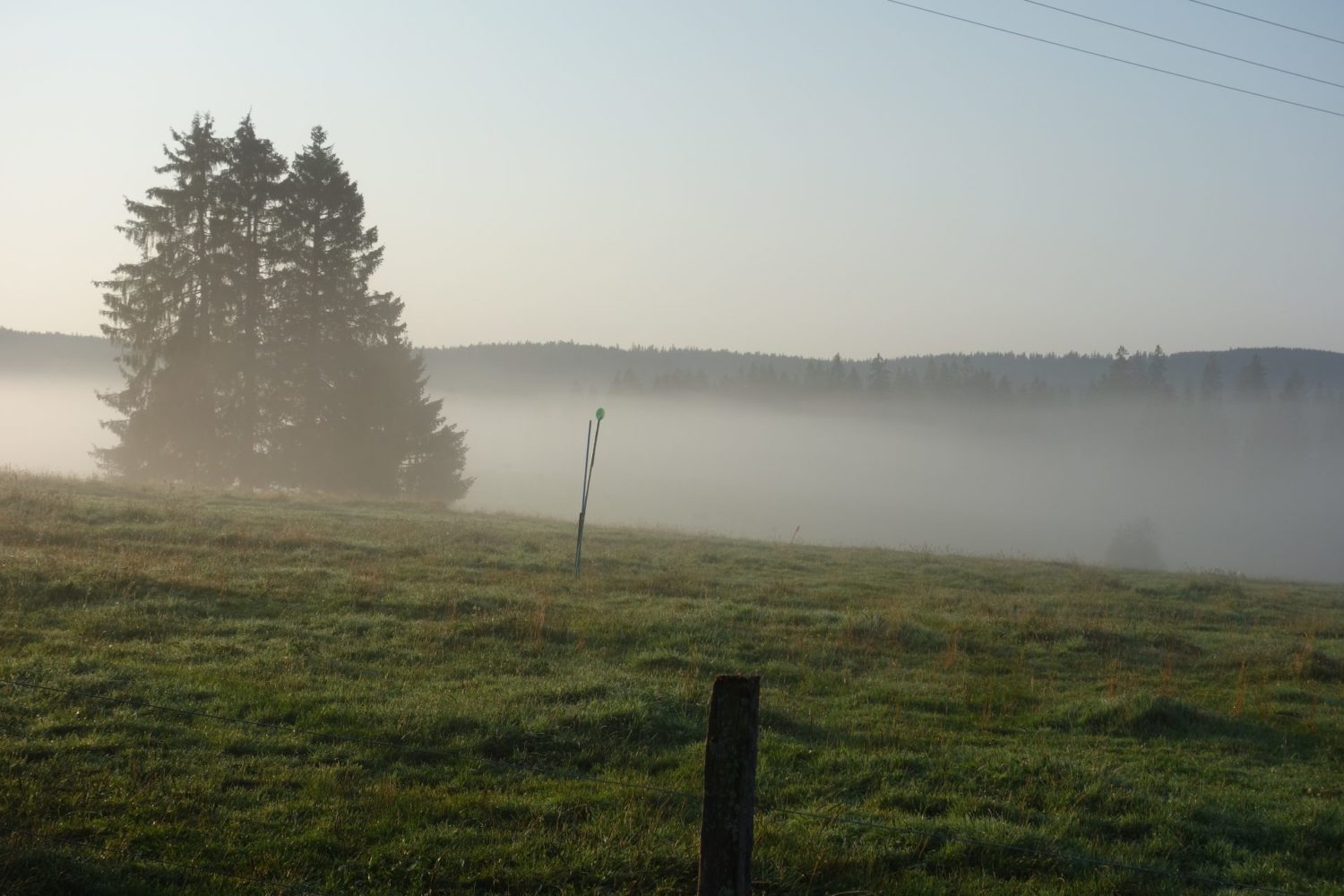
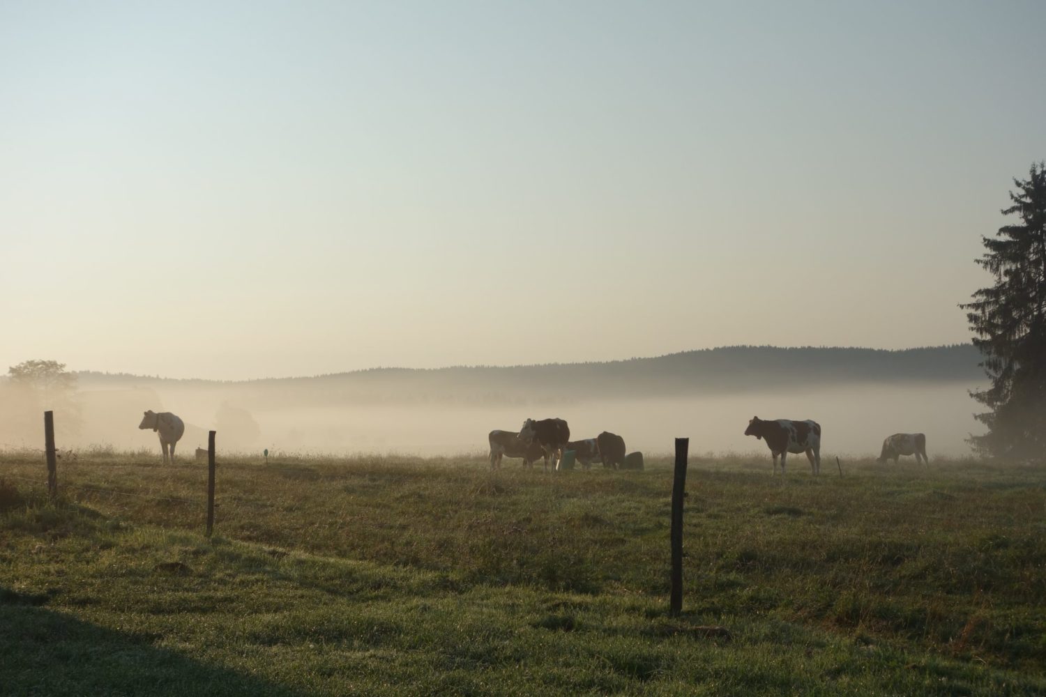
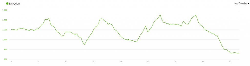
The best walking day of my trek, the path is mostly flat running alongside the river Doub, (you can see that in the elevation image) so not a great deal of climbing except at the end, which is a pure waste of time. But the path is quite difficult or rather technical, because loads of rocks and or roots, making it a break your ankle job if you are not careful, but really great I loved it, There are even two ladders that you need to climb at one point.
Note that after leaving Goumois there are no shops, and no water stops, so fill up.
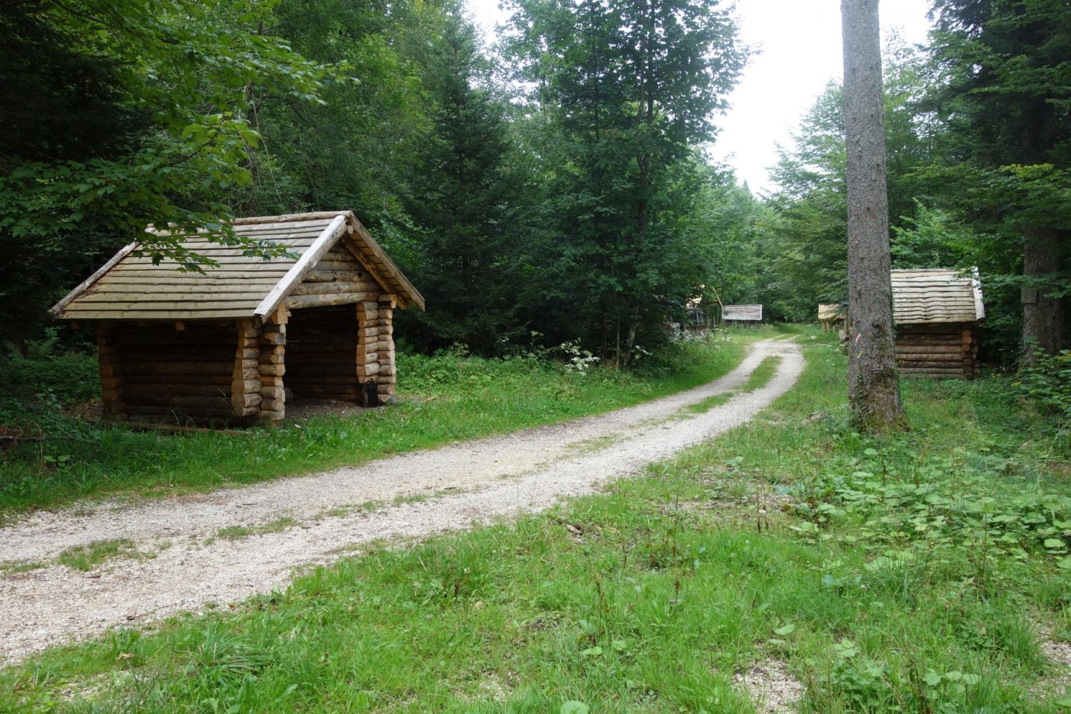
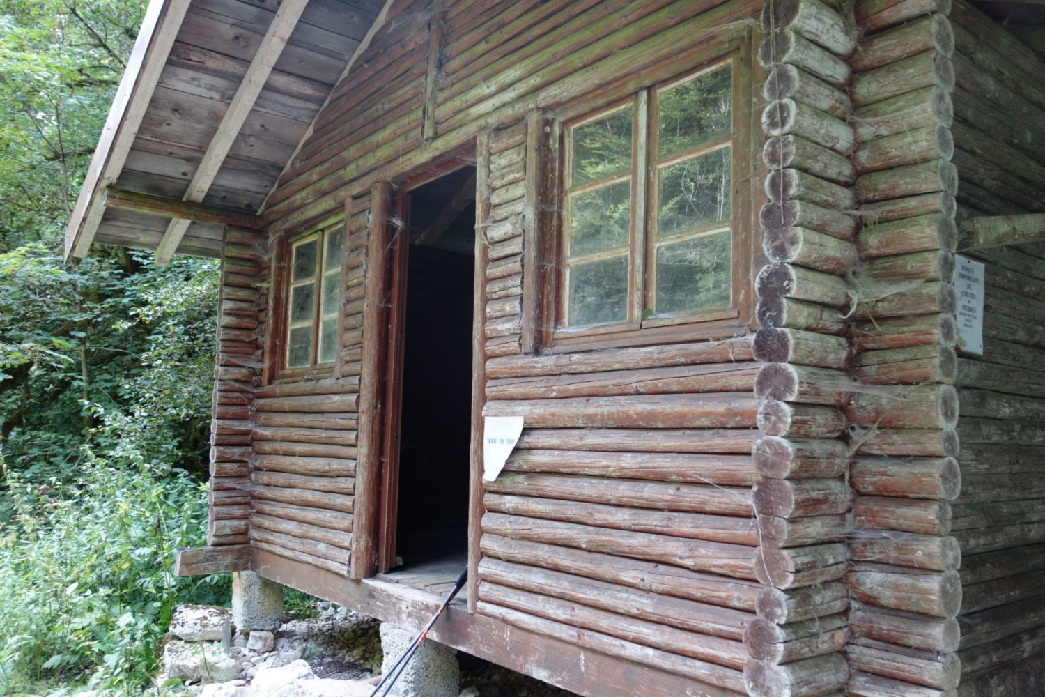
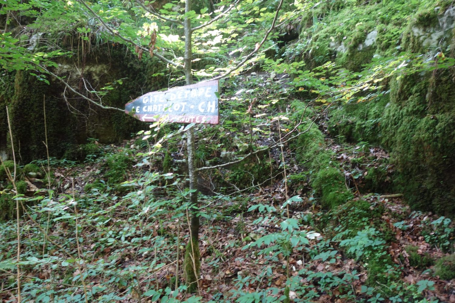
The problem I found is that there are no spots for a bivouac (wild camping) just no space anywhere. Although there were two or was it three fisherman shelters though you would have to sleep on the floor. But they only had a bench and table. Spider webs everywhere and fairly dirty, I am not ready for this yet.
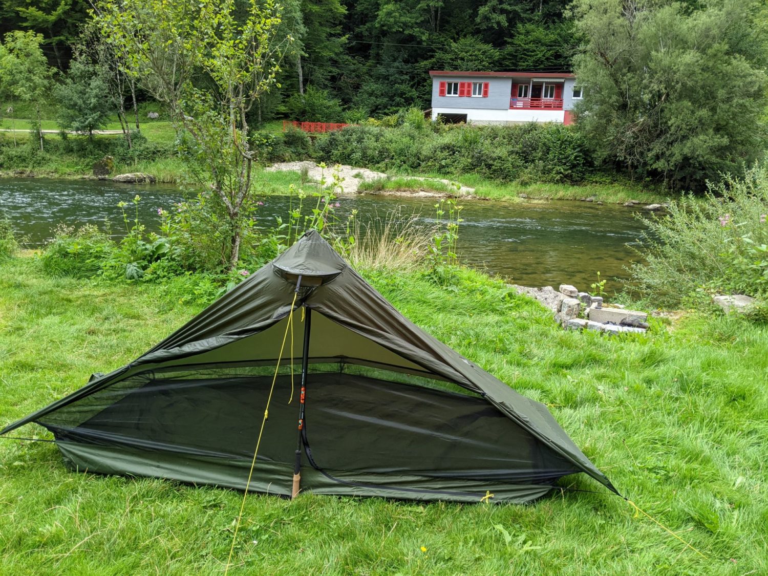
I was lucky, I was able to pitch my tent, asking at the only house on a road though to get there a 500 m ascent. Tiring and not fun. I would suggest that you do not go up this ascent but keep on the path following the Doub. But doing this makes camping difficult and an even longer stretch with nowhere to pitch.
WHY quit the path running alongside the river ?
Surprisingly the GPX for the GR leads you off the river’s path. It goes up a good 500 m, onto a road, (where I pitched my tent, in someones garden, the only house that was there) . When leaving, you will walk along this road for about 1 km and you go all the way back down again. . So take a good look at the GPX trace or your map here before doing this, as you can easily skip this going up and then back down part out.
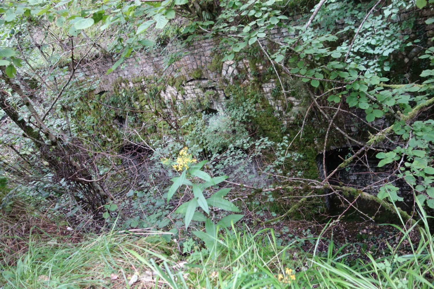
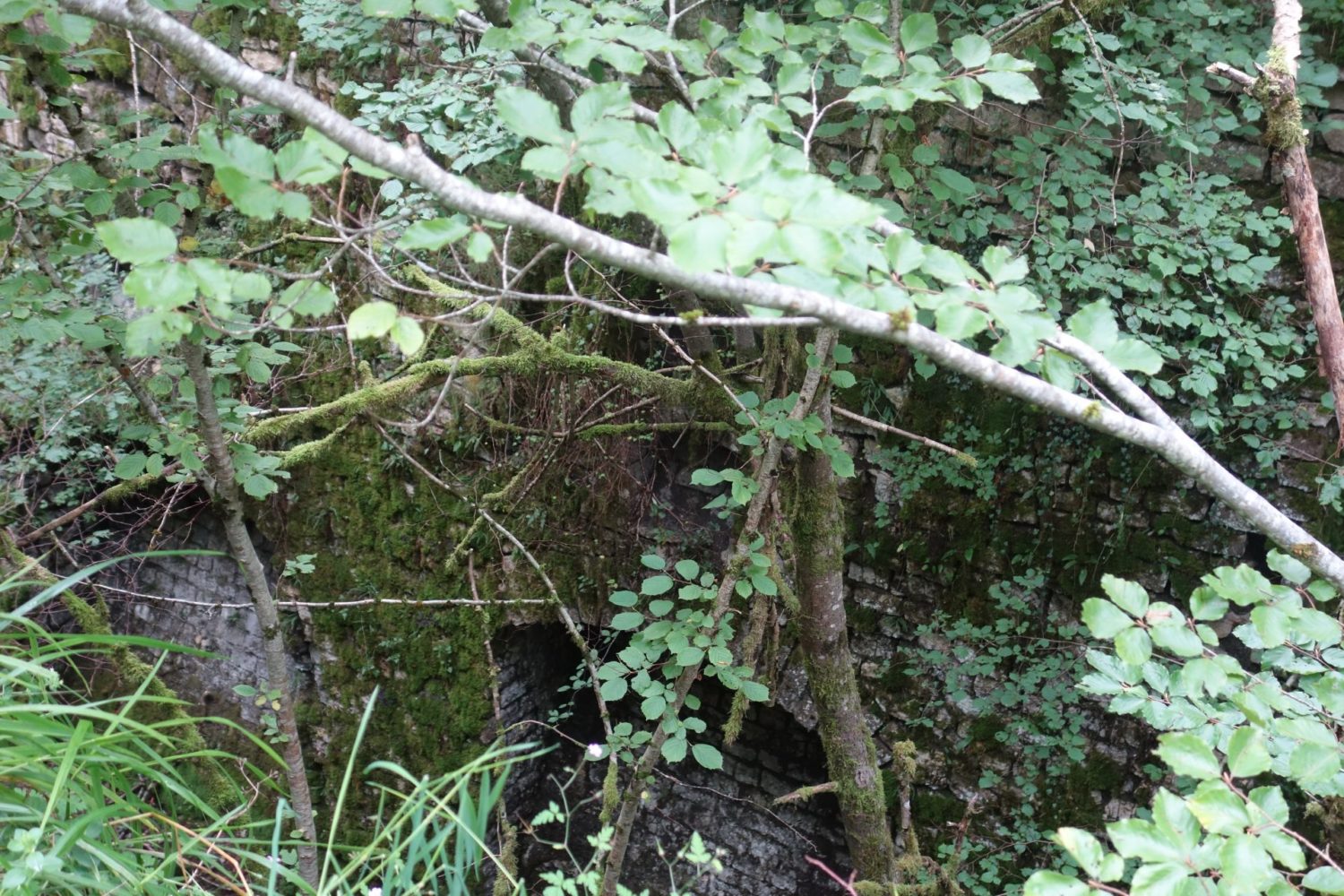
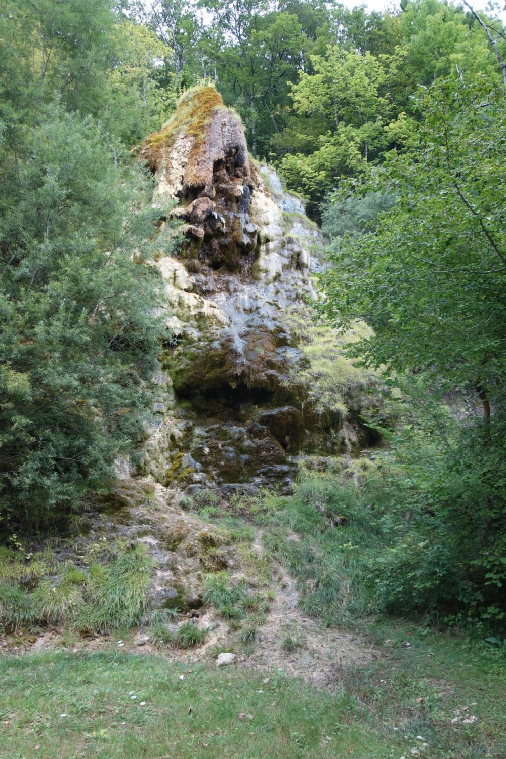
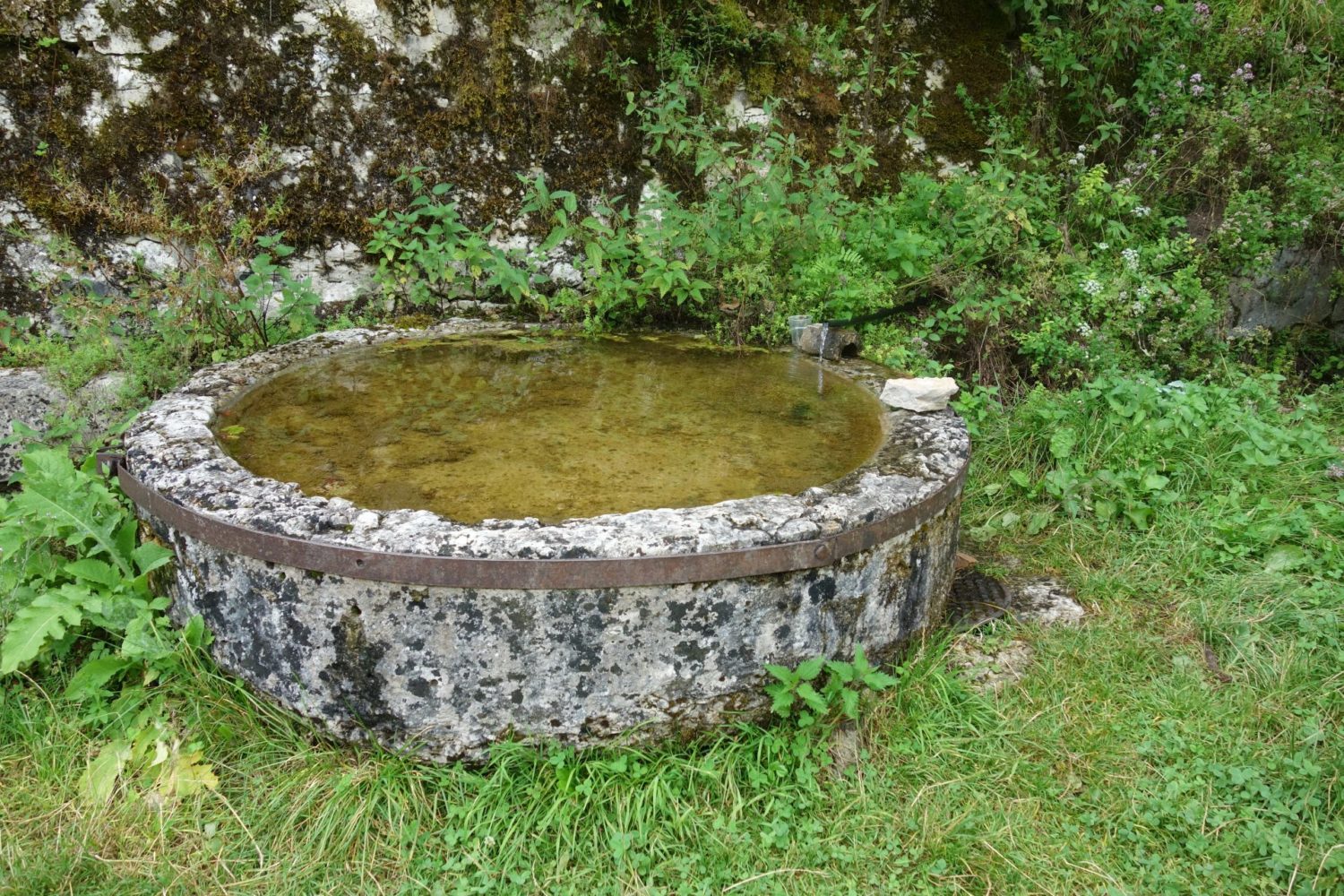
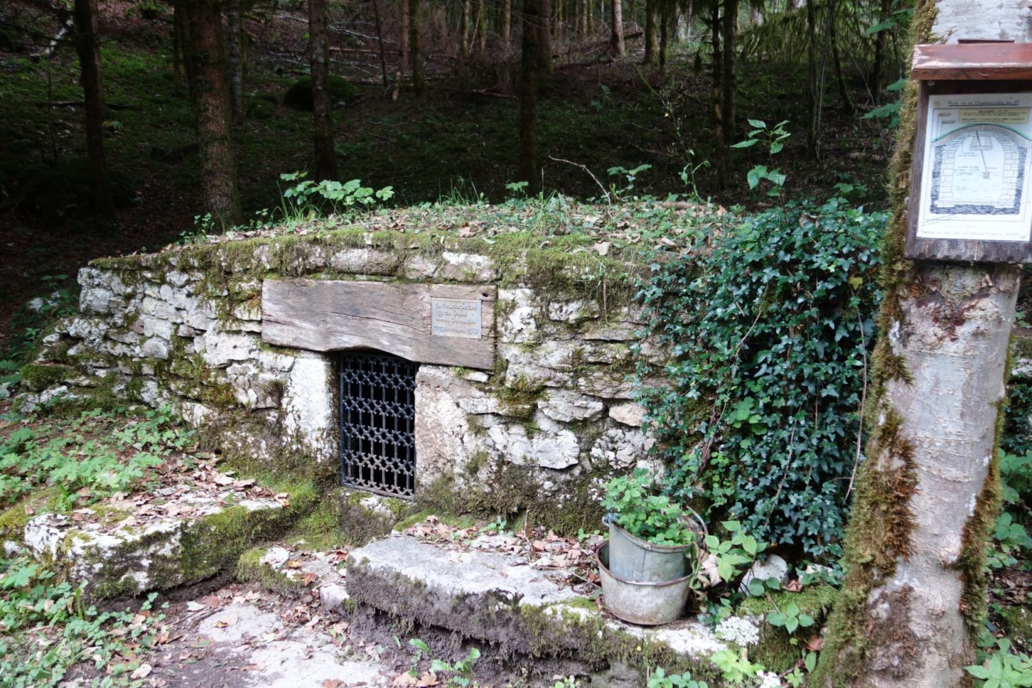
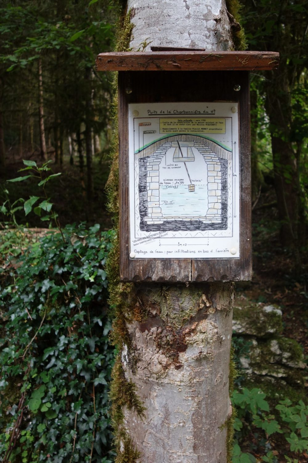
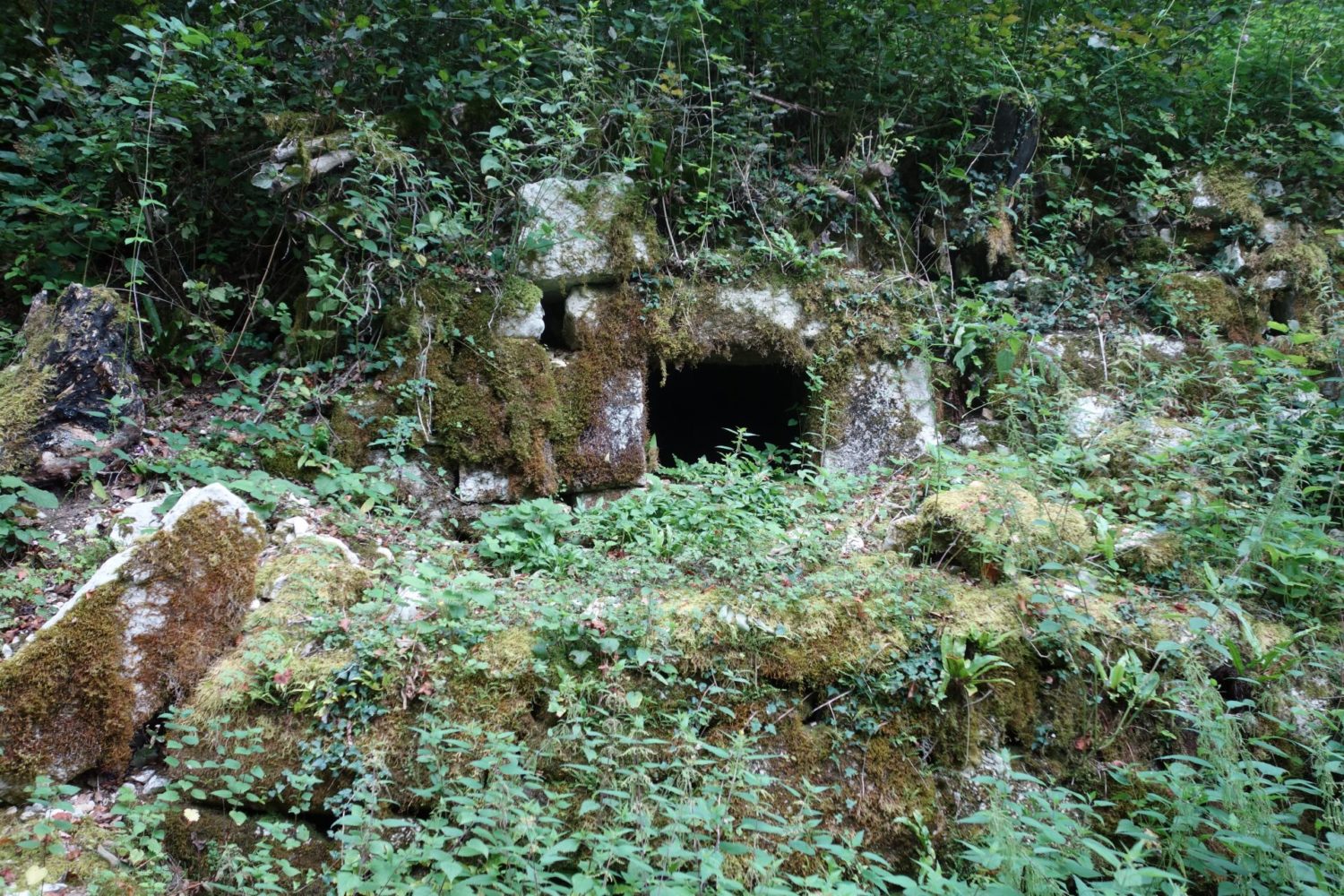
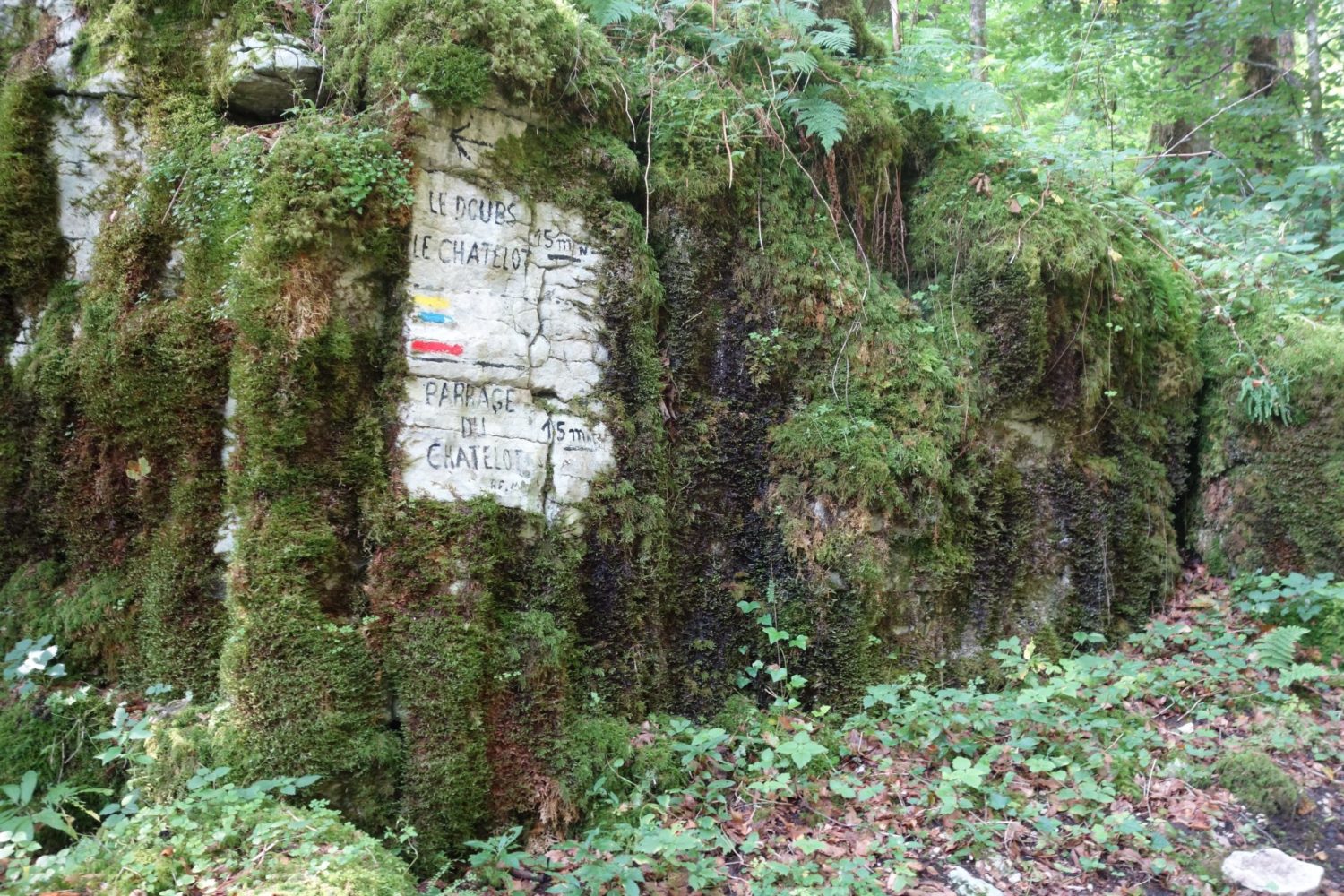
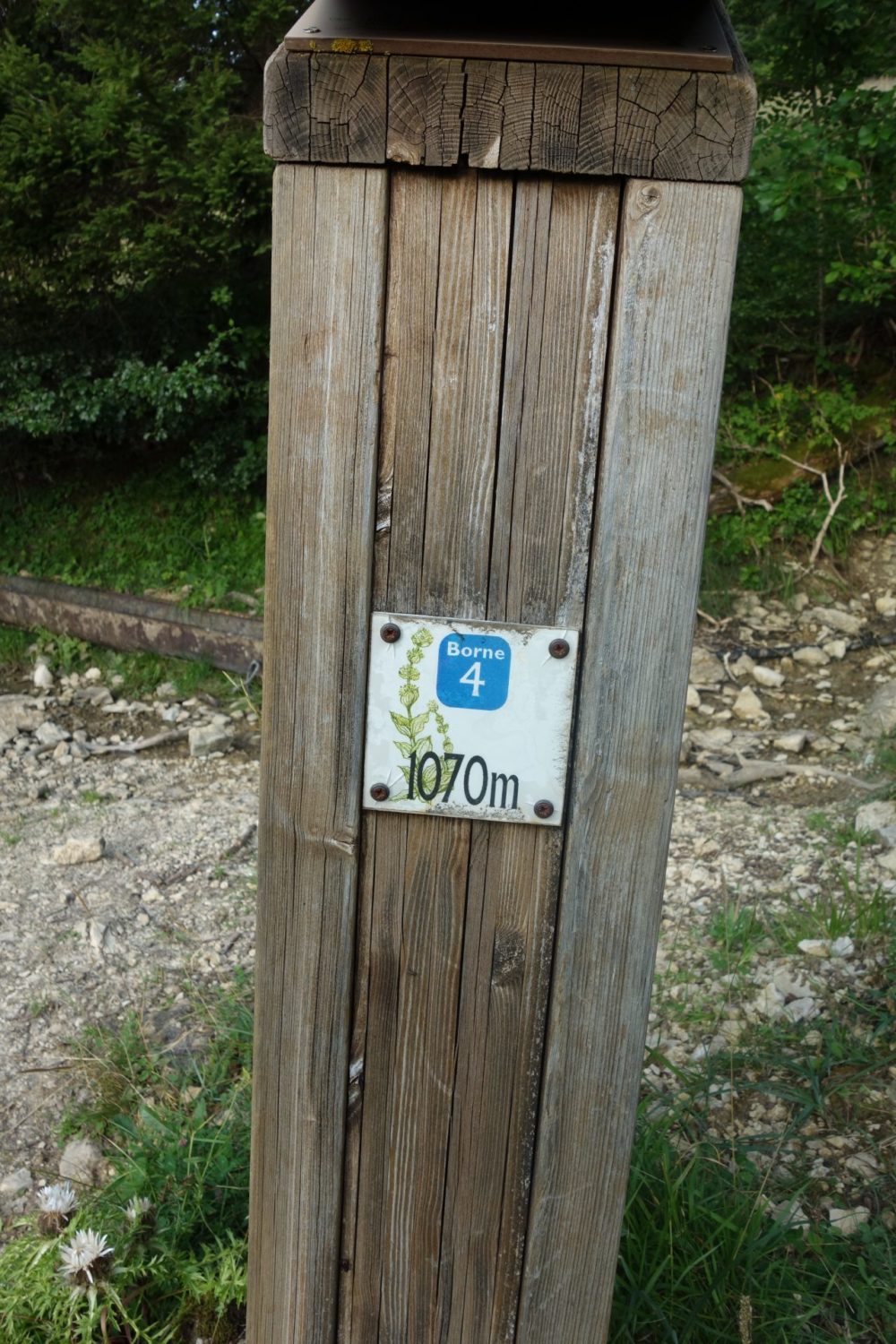
This day was 33 kms long. Altogether only one water spot found, see photo, you will need a filter, obviously no shops no nothing else. But I loved it. Though rather long.
It’s flat, except at the end, which I suggest you do NOT do, (500m of ascent in one go, and for nothing).
Here is the GPX trace that I recorded on my Garmin 66i, you can download it here bit.ly/3gBwkaG
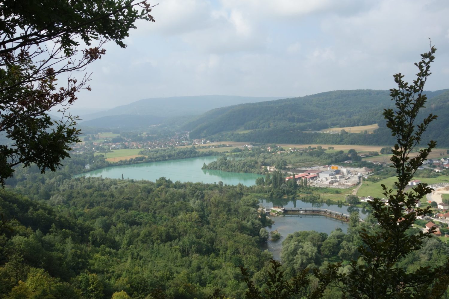
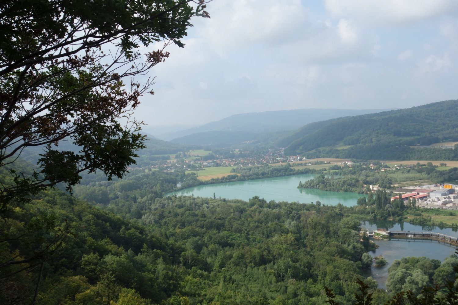
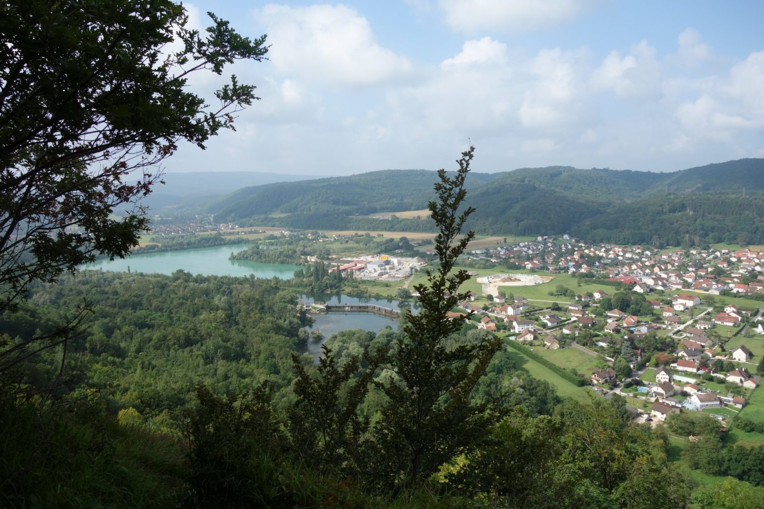
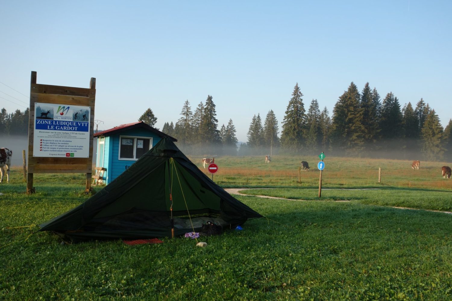
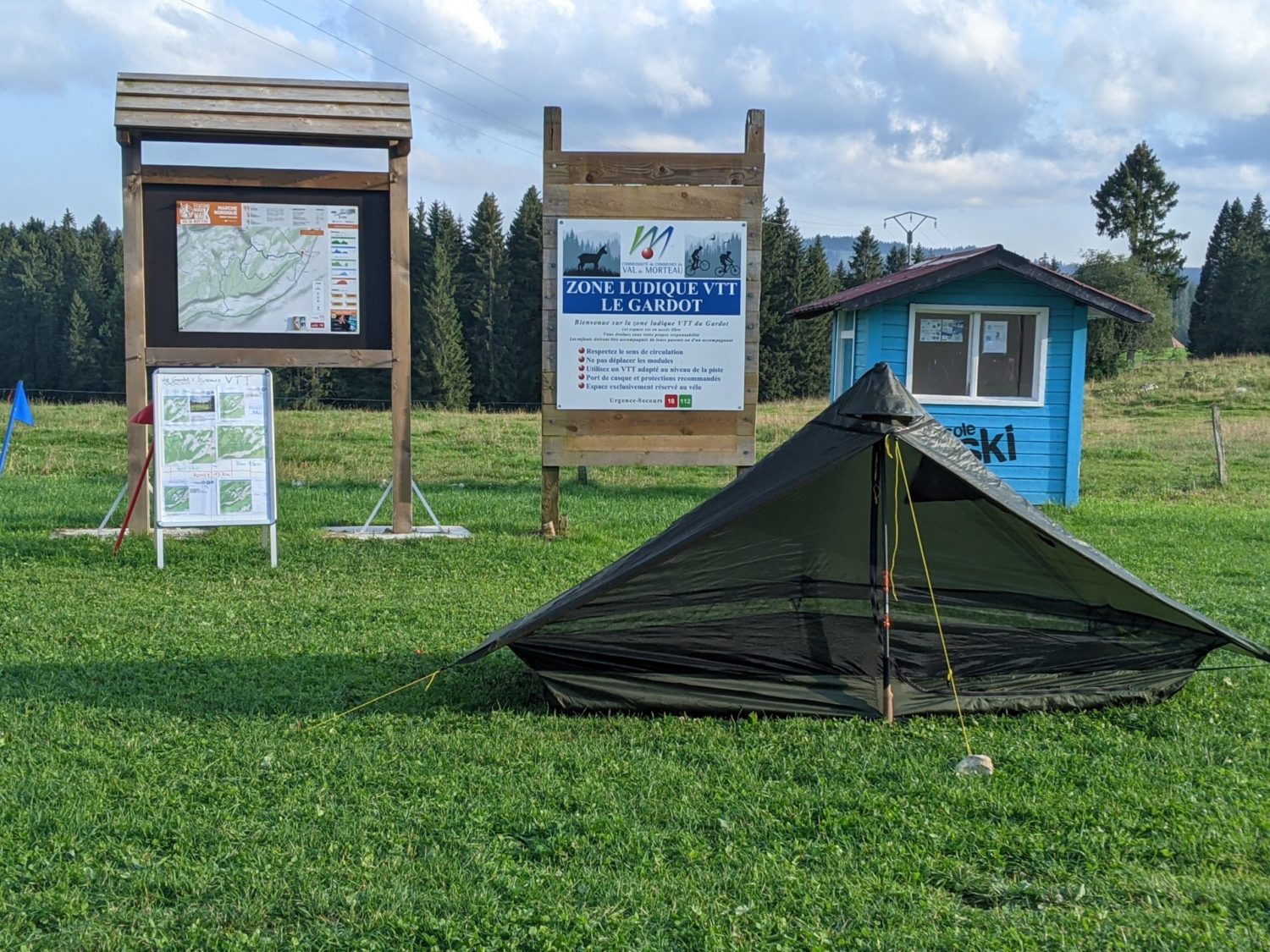
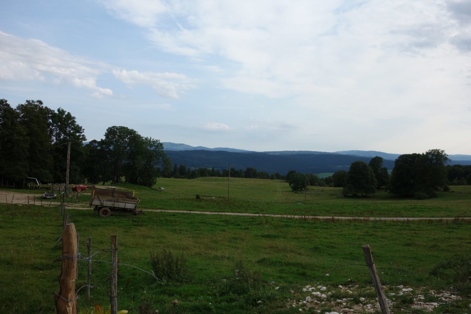
Nowhere – Le Gardot. Day 4
Starting the day from where I’d pitched my tent in someone’s garden. Walking along a road for about 1 km or two and basically you walk back down the 500 m than I’d done the evening before.
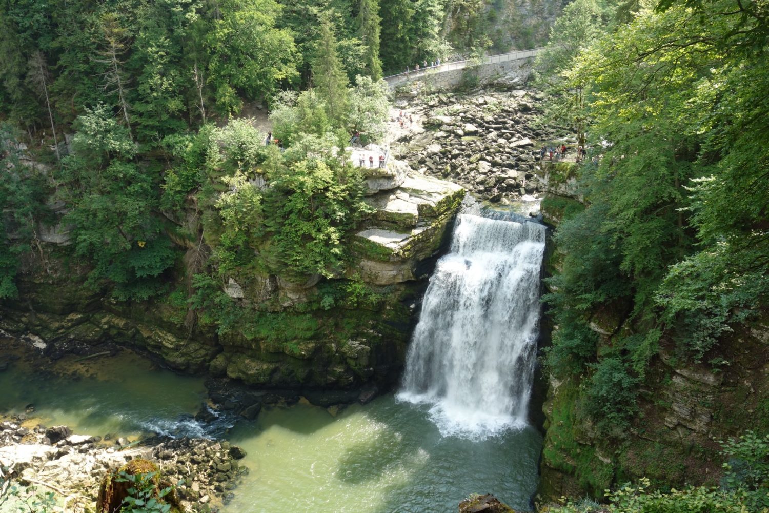
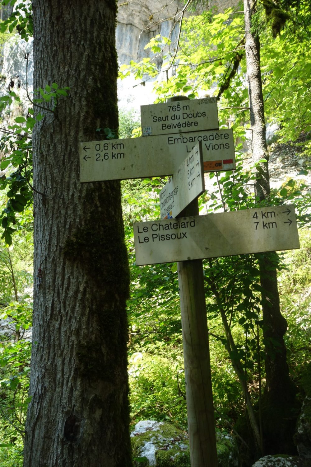
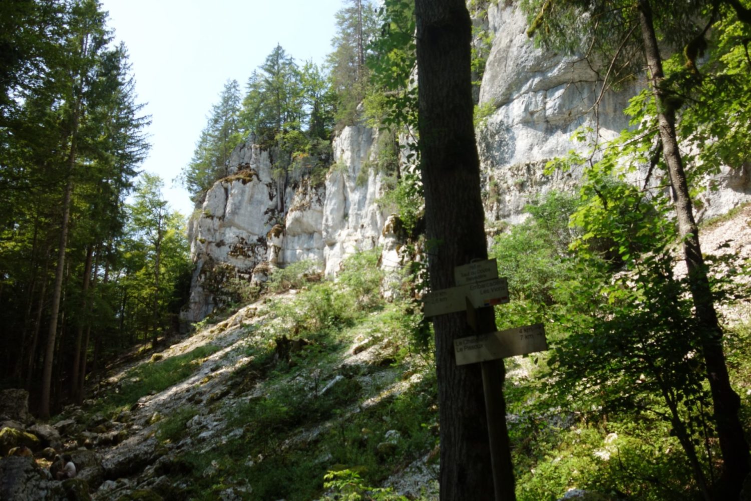
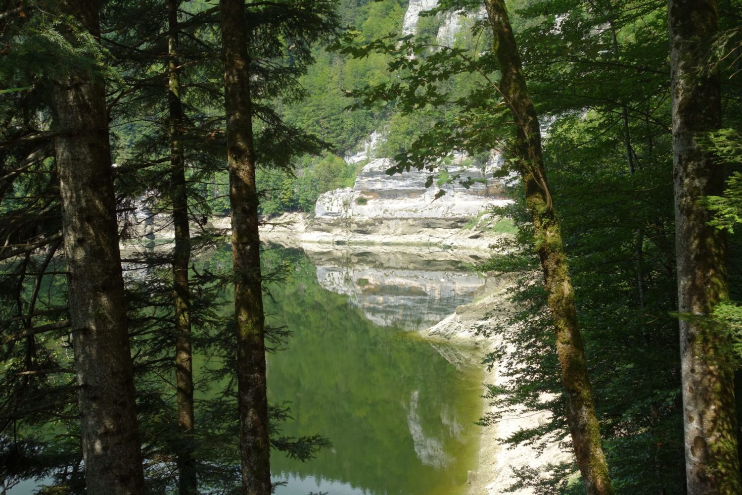
Take the boat
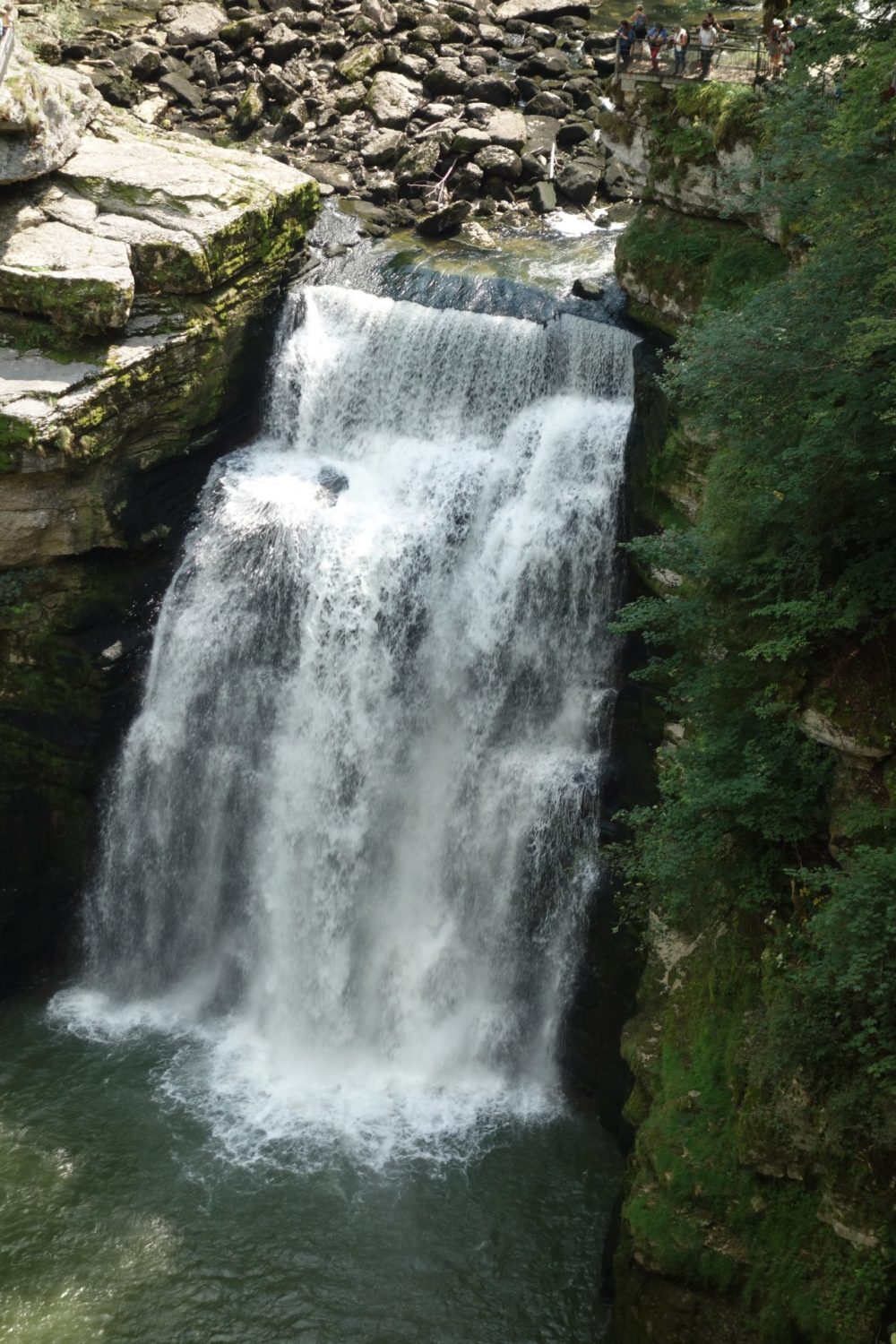
It’s a pleasant walk EXCEPT later when you arrive just after the Saut du Doubs, do not walk to Villers le lac, it’s six kms downhill on tarmac and it was really a hot afternoon…., take the boat, I so which I had known this before. it will save you time and give you a nice break.
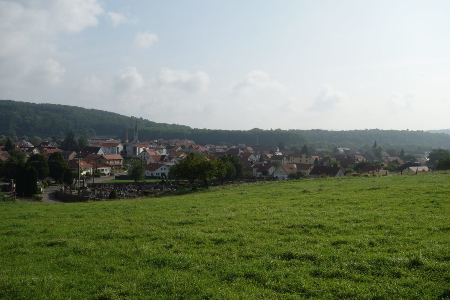
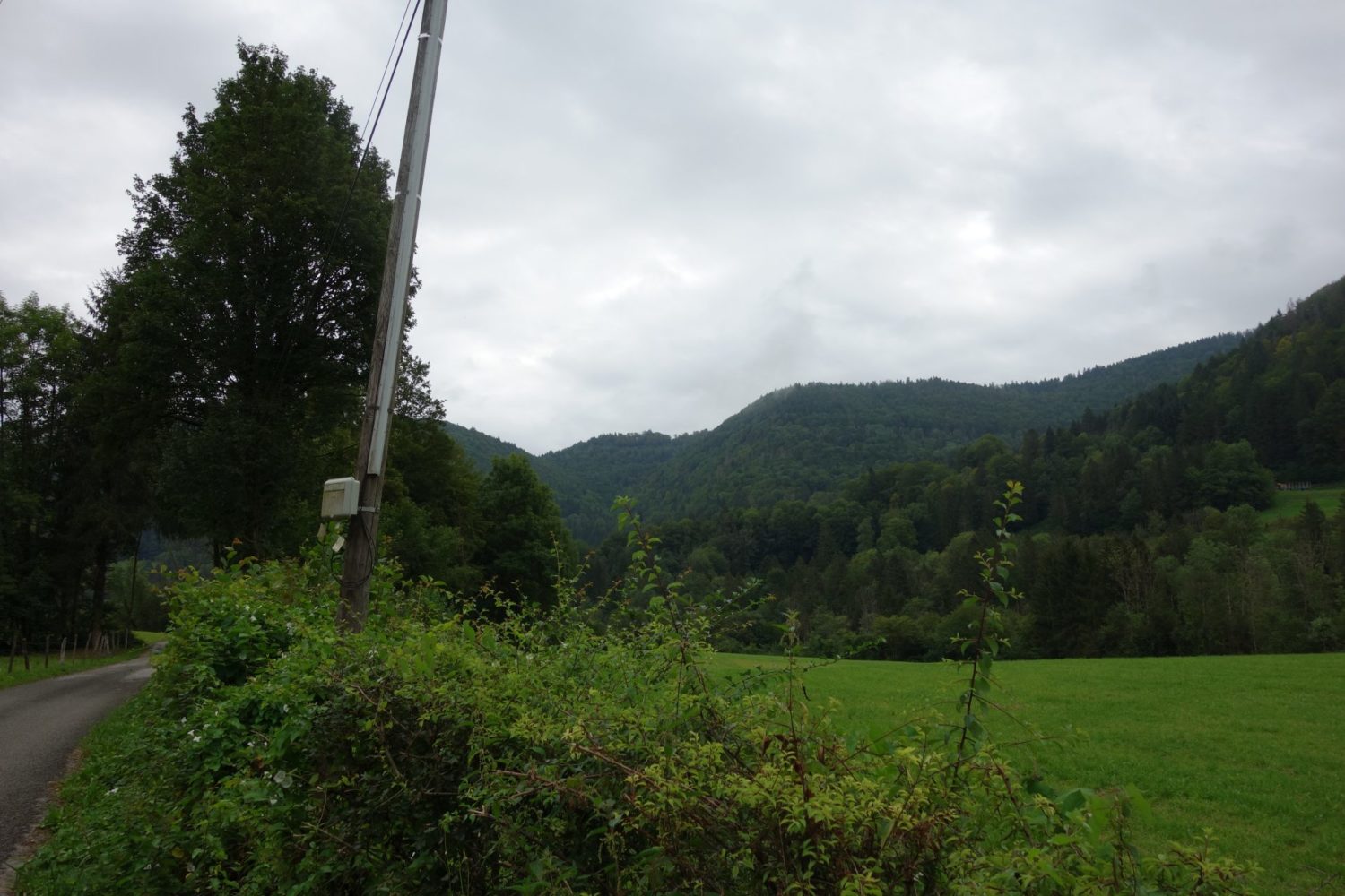
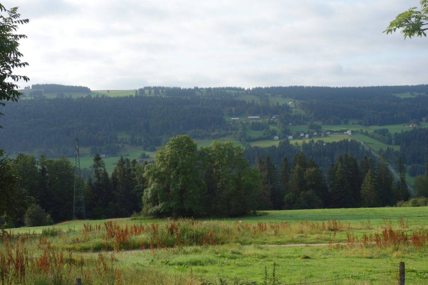
After Villers le lac where I ate again in a restaurent, you then started a long walk up, basically 750m up to 1258m. I stayed at a small village called Le Gardot,
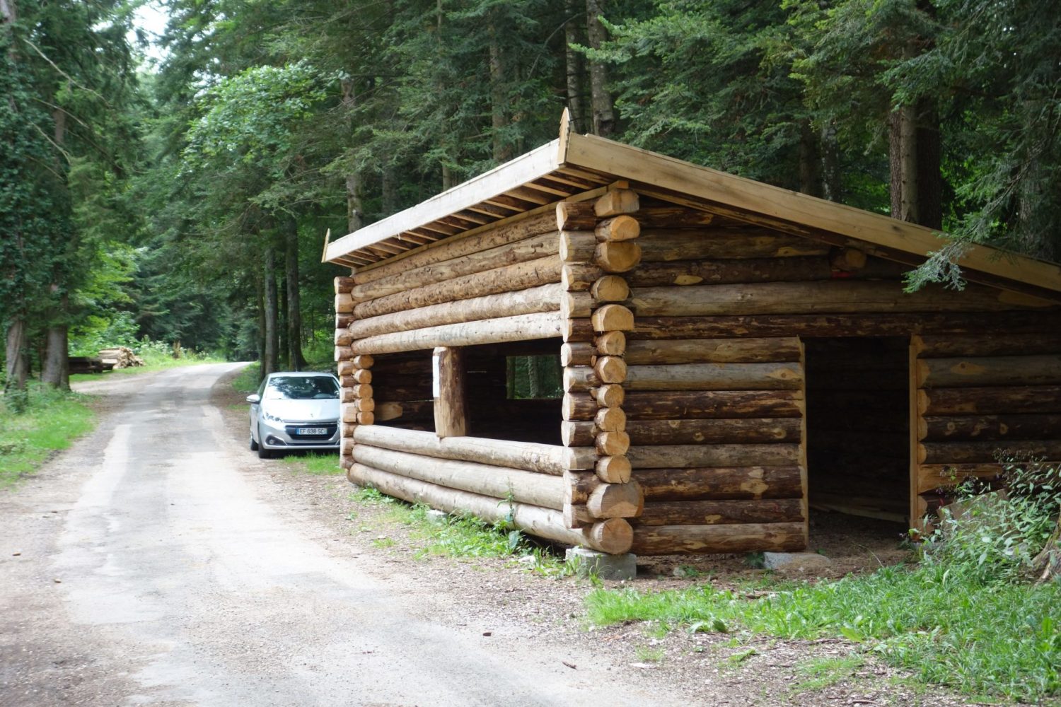
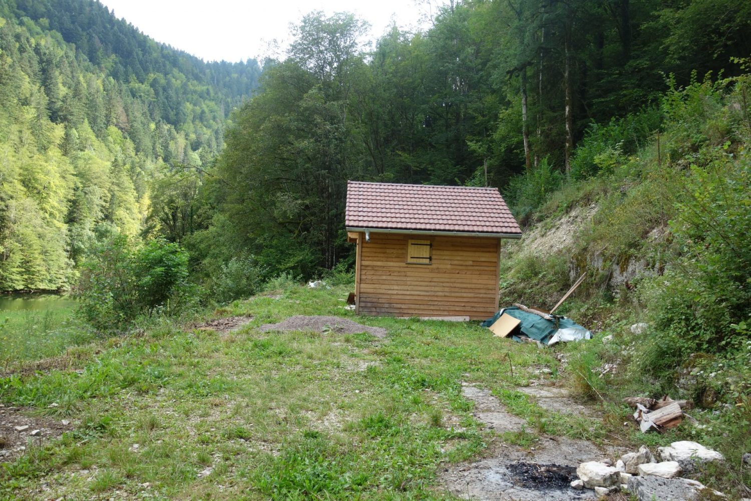
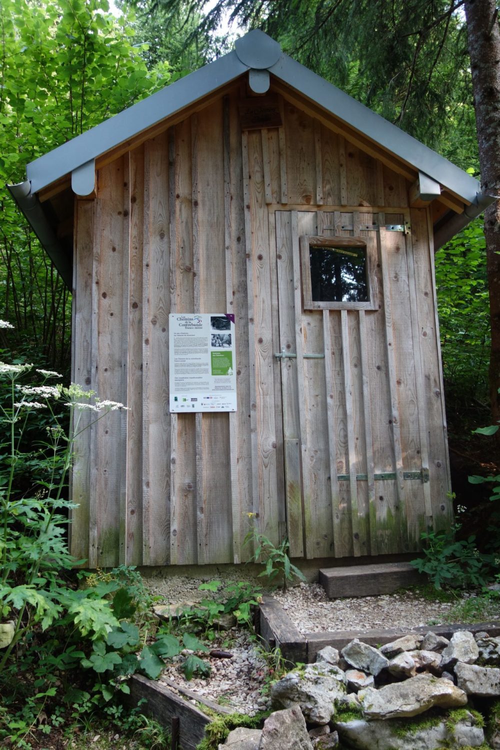
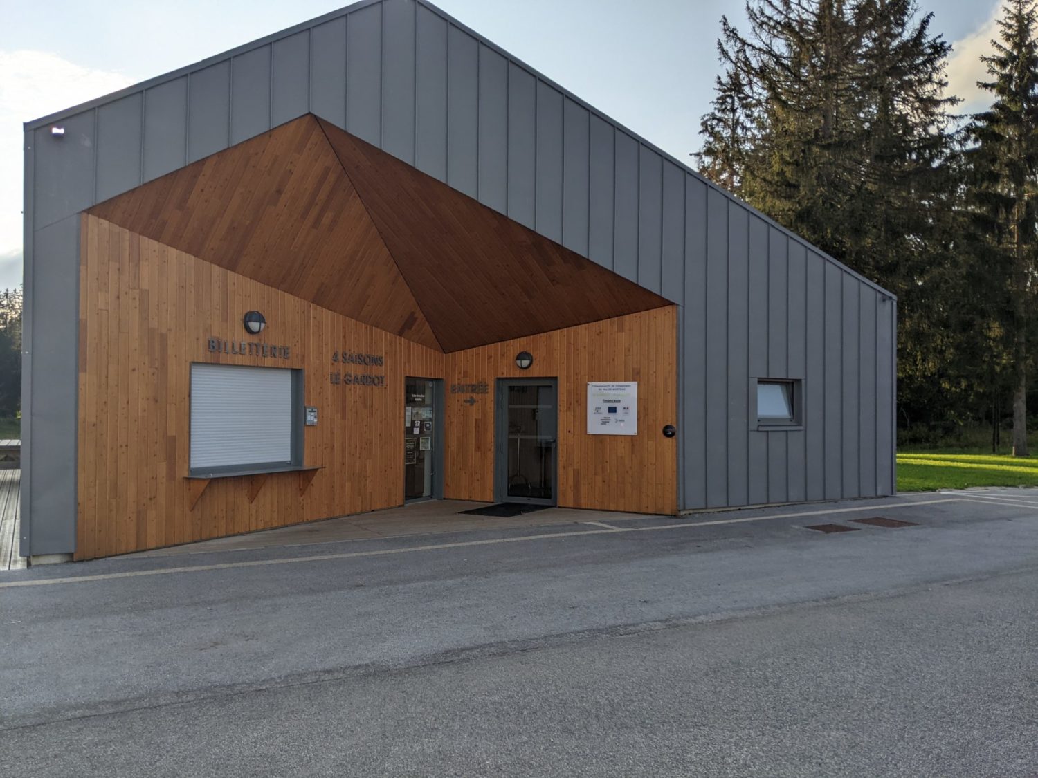
There is a building for Nordic walking, skiing, MTBing etc. This building is open all day and you can use the loos, grab some water, sit inside or outside to rest or eat as it’s open to the public. You can also pitch a tent outside, I’d asked and it’s allowed. Also there is a electricity socket on the outside, near the tables. Oh so useful to charge up your phone, GPS etc
Here is the GPX trace that I recorded on my Garmin 66i, you can download it here bit.ly/3zmgDeQ
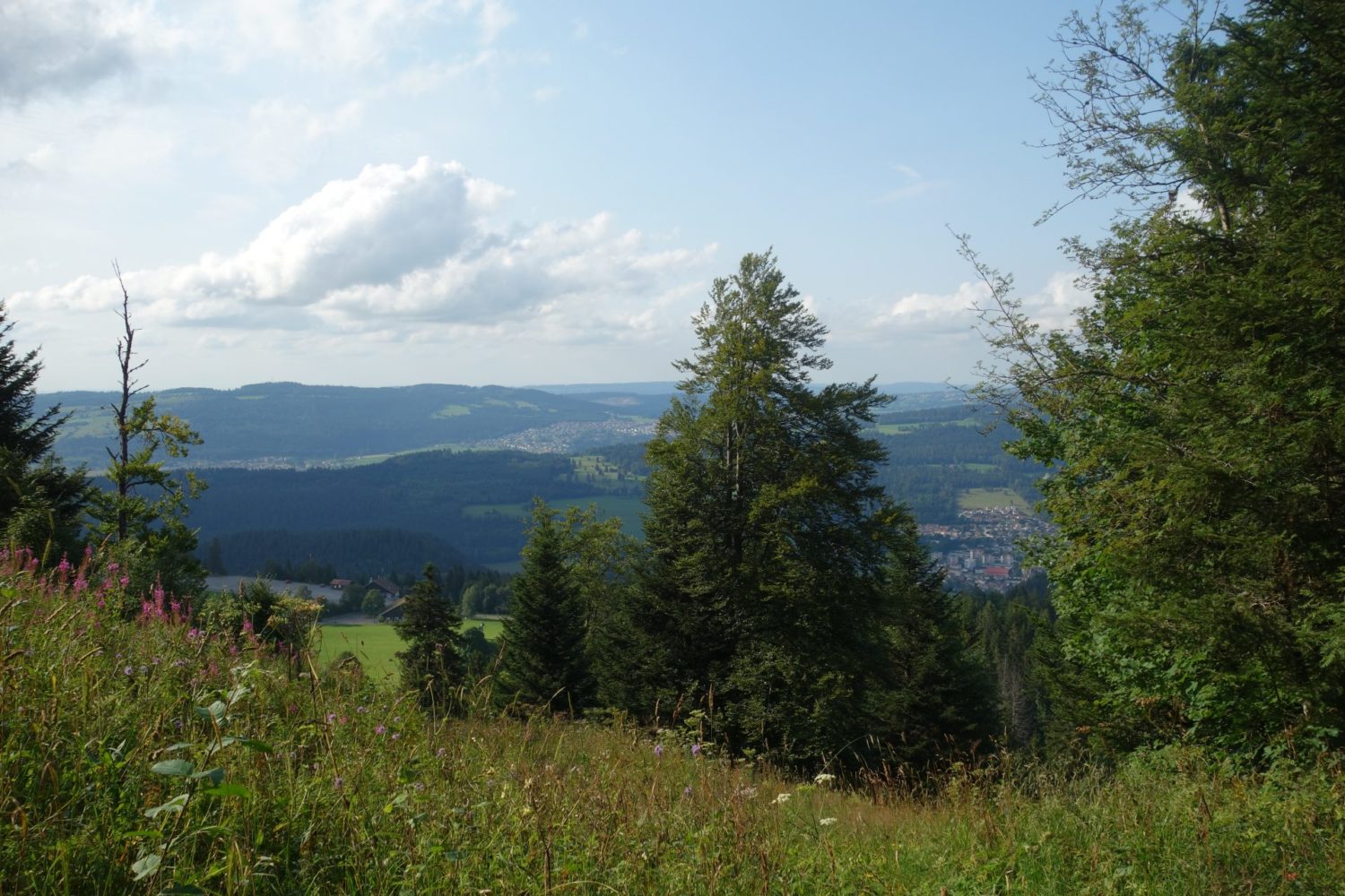
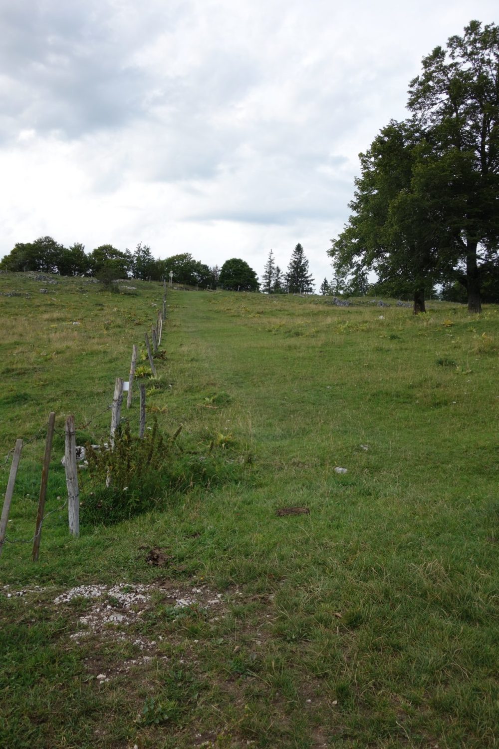
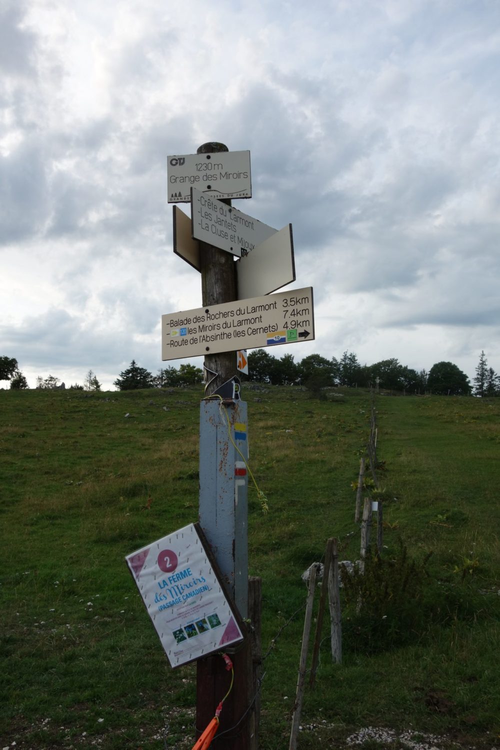
Le Gardot – Pontarlier. Day 5
Now this was an extremely long walk, Although I had originally planned in doing it in two days I decided to give myself a challenge and do it in one go. 42 kms, undoubtedly I’m crazy.
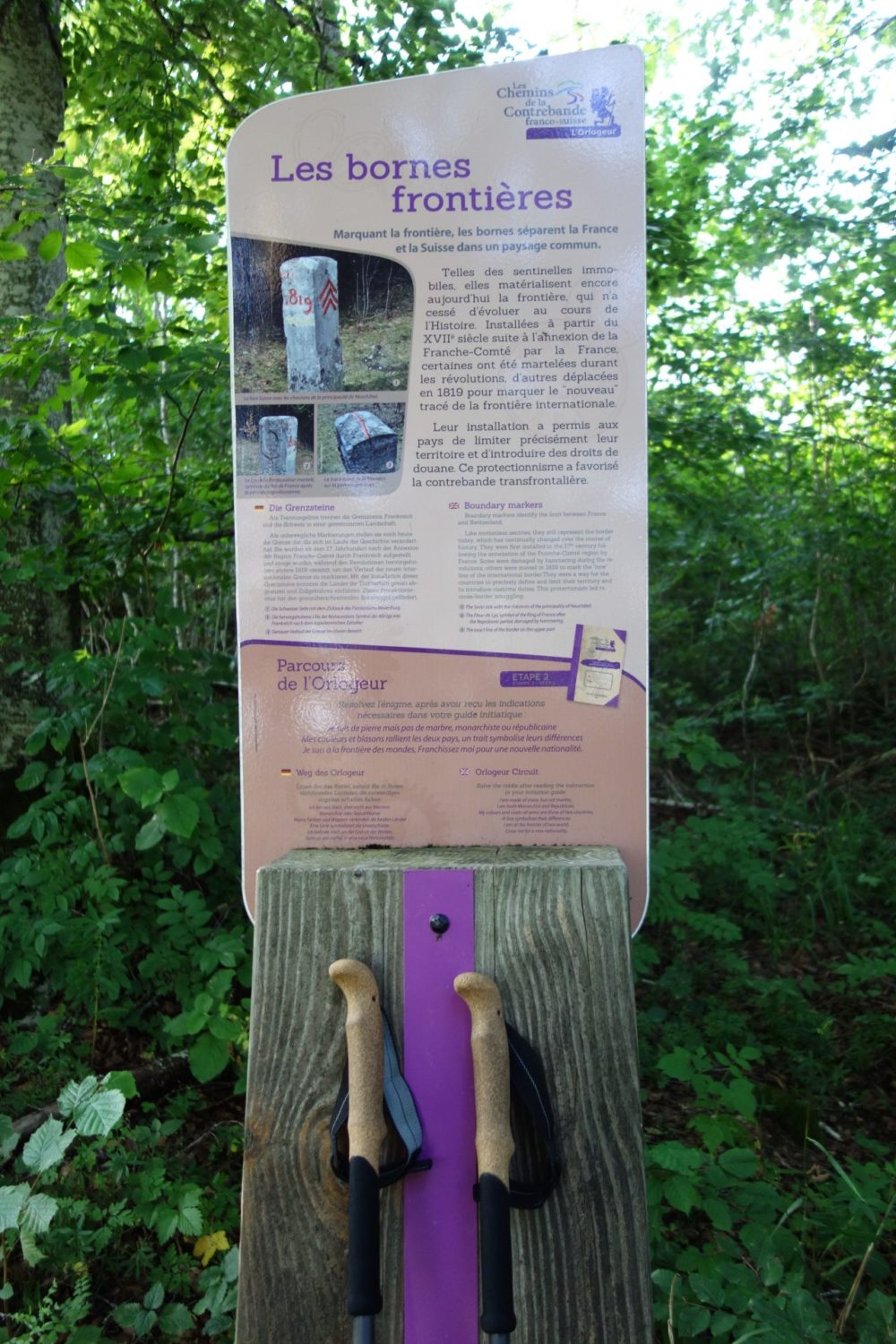
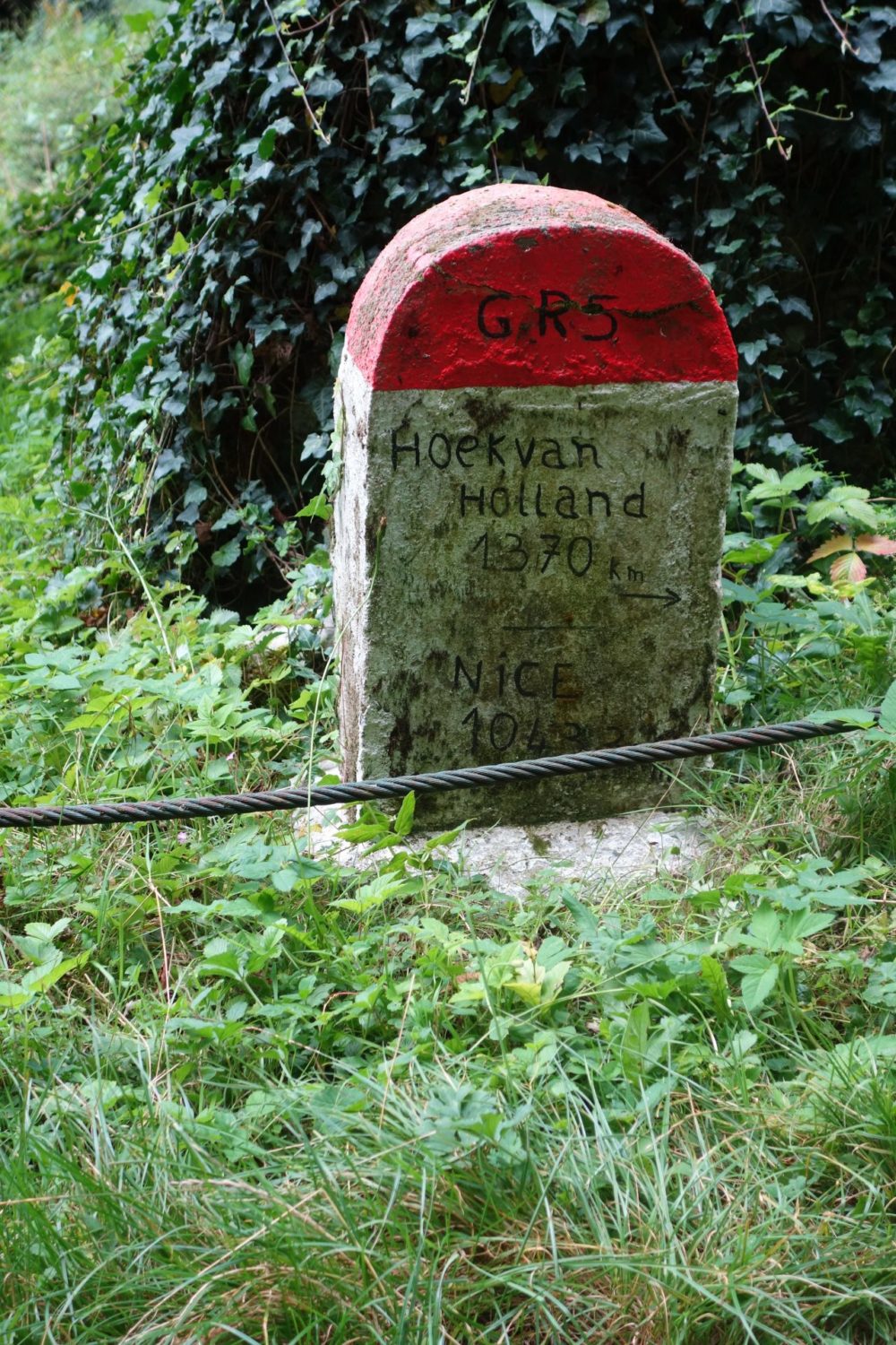
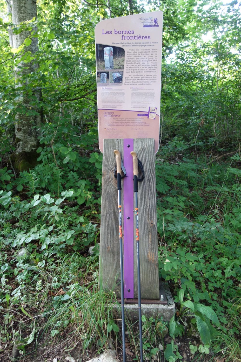
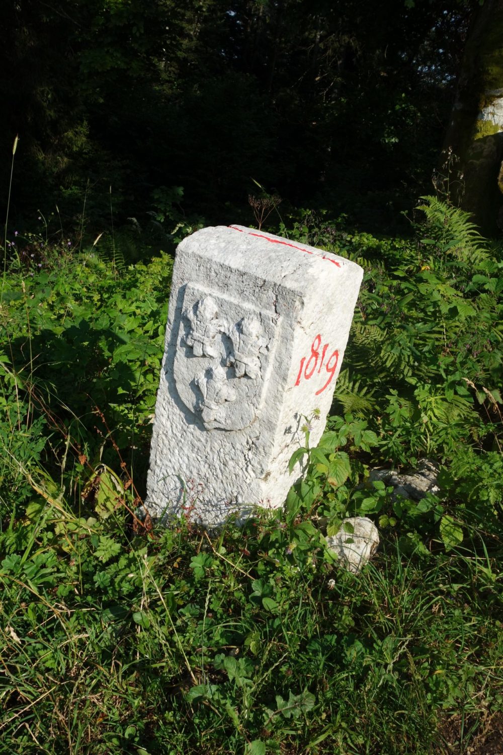
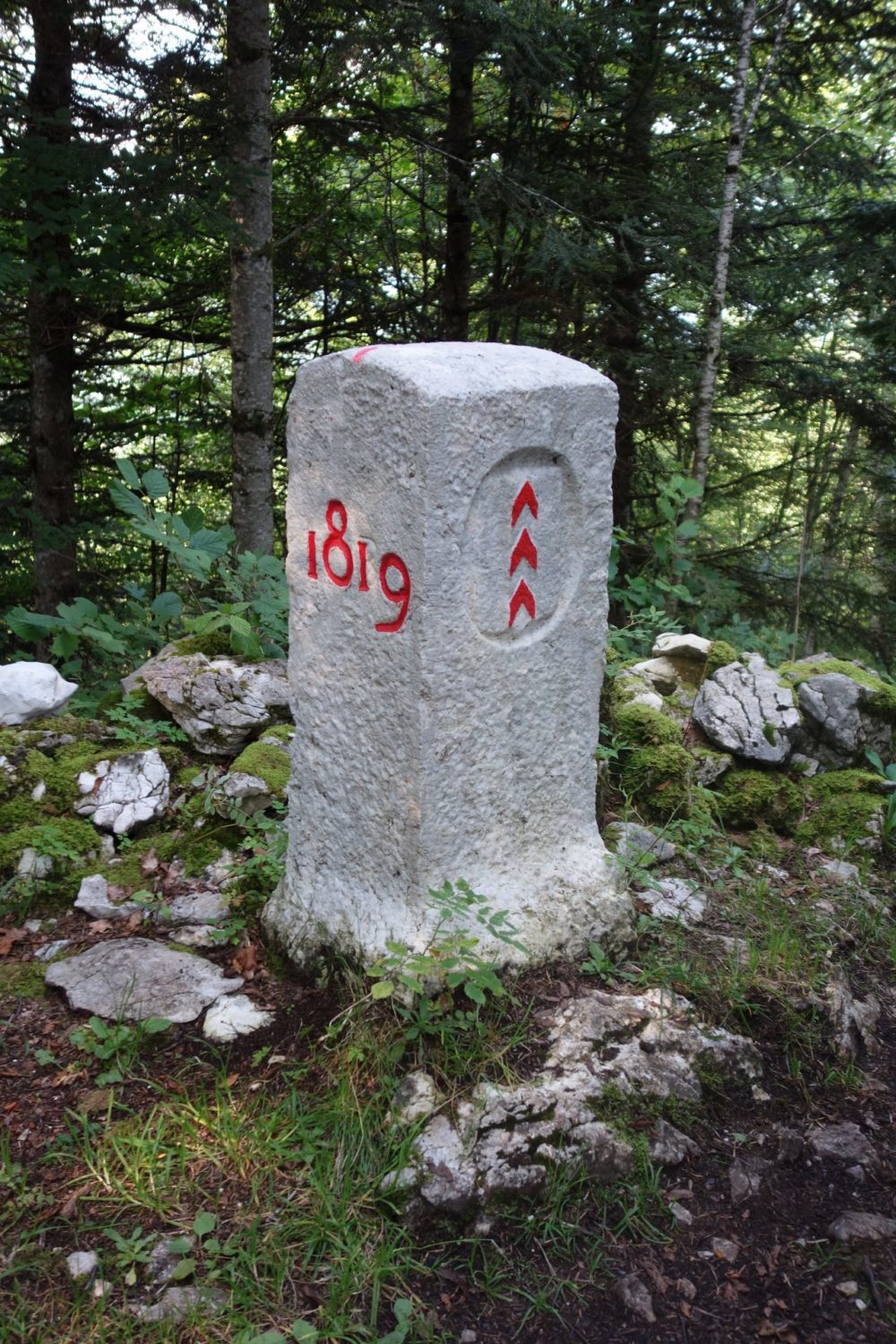
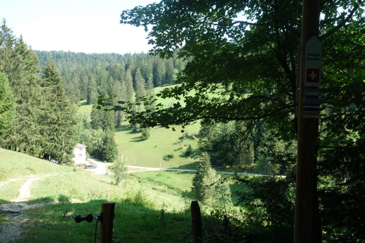
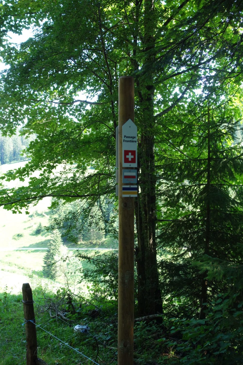
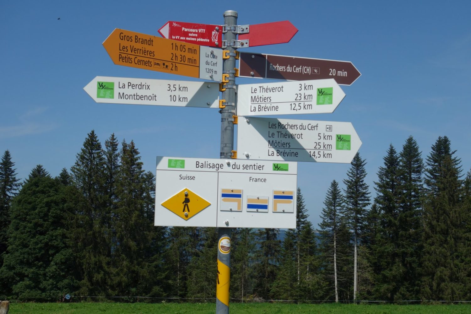
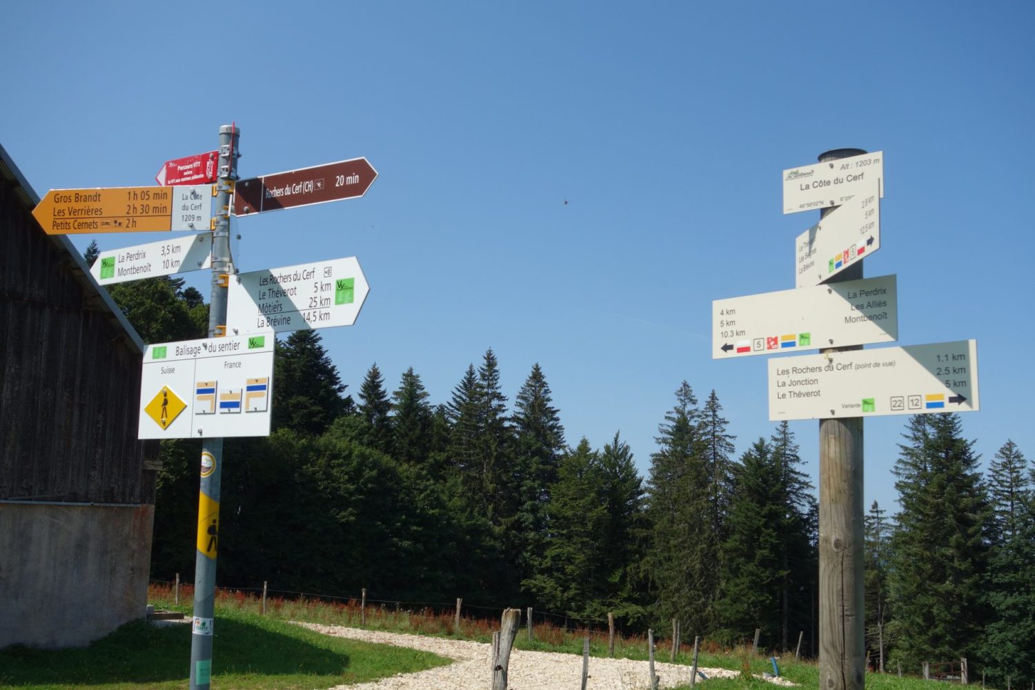
Today you walk through the borders France, Switzerland, France, Switzerland and at least a couple of times. You will notice lots of stone white pillars showing you what side of the frontier you are on.
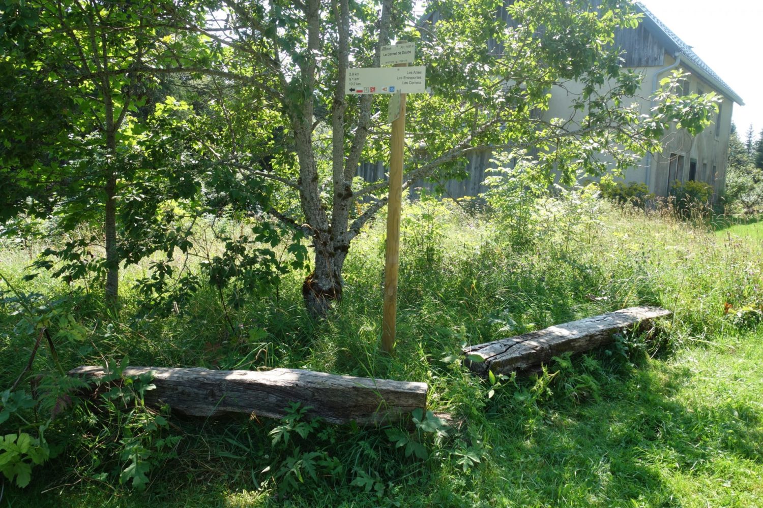
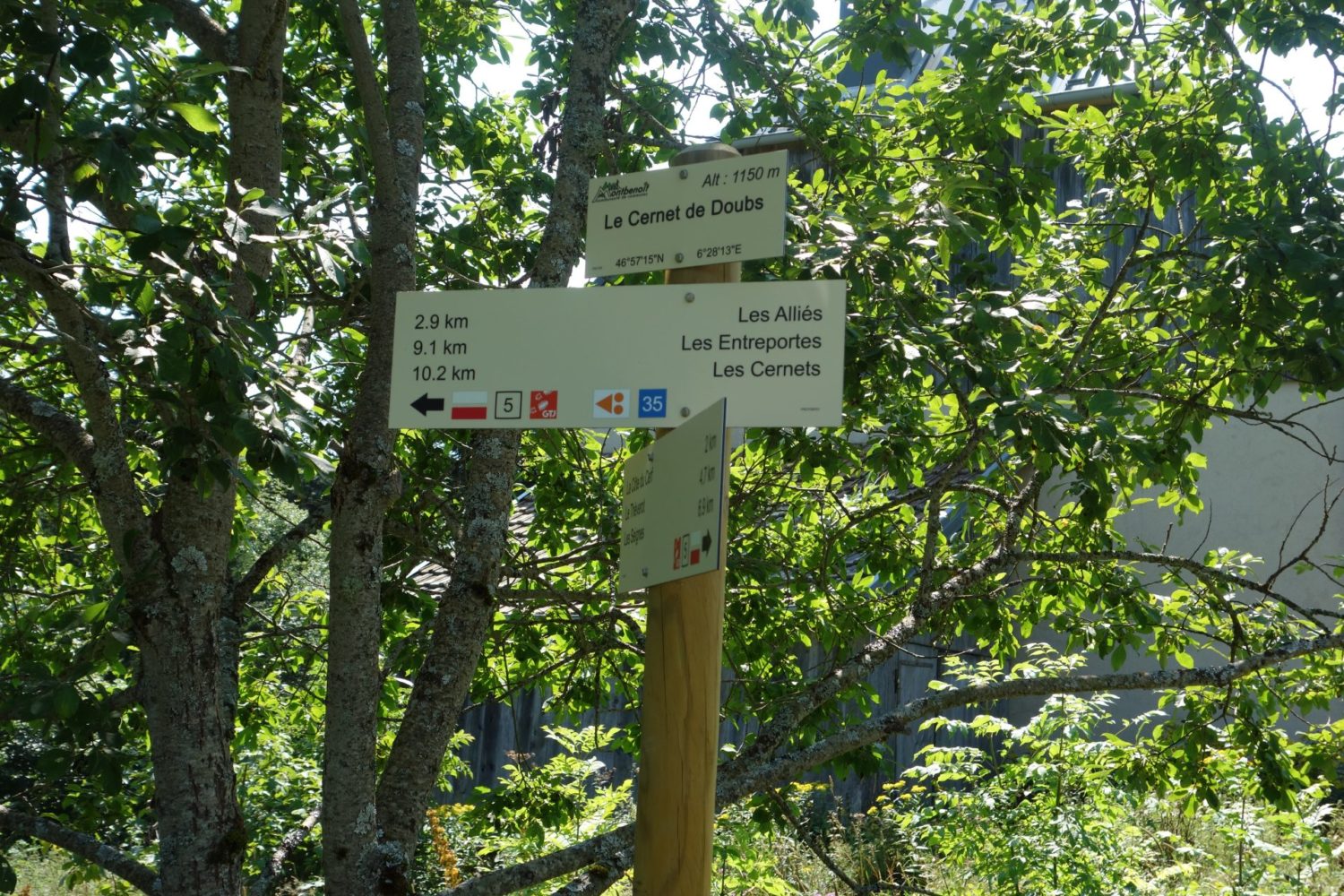
In the small village Les Alliés (roughly the 20 kms mark) there is a water point, I think that it was only the second one that I came across in 150 kms. Again you should filter the water before drinking it.
If you are not as daft as me…
In Switzerland roughly after 25 kms mark you will come across a cafe, restaurent, hotel. Hotel les Cernets . Also ou can sit in the terrace and have a coke or a beer or a meal. Also they let you pitch a tent in the garden for a small fee (as I was told by a trekker while dring a coke) I should have stayed here rather than walking overs 42kms.
After this point its’s not to difficult another 15 kms to finish at Pontarlier with nice paths or crossing fields. though doing 42 kms was long, so long…
Et voilà as they say in France La grande traversée du Jura – GTJ, or rather the first 150 kms all done. It is a pretty nice trek, a little ‘bitume’ tarmac, and some wide forestry paths that are boring but other than that is nice. Again very few water points and difficult to find a sleeping place after Goumois for the following 30+ kms.
Here is the GPX trace that I recorded on my Garmin 66i, you can download it here bit.ly/3jgKwYq
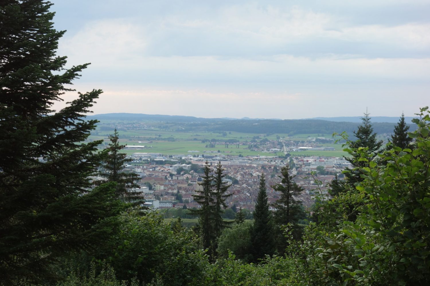
Pontarlier
GTJ – La grande traversée du Jura. So I’ve finished walking the first 150 kms of the GTJ which is 400 kms in total. I didn’t want to do all of it at this time, so 150 kms was enough for me.
Pontarlier, I was disappointed. Note that there are few hotels there so check them out before you arrive and book the room beforehand, only about two and the most expensive ones are in the town center, the cheaper ones are quite a few kms from the town center or the train station, more walking…