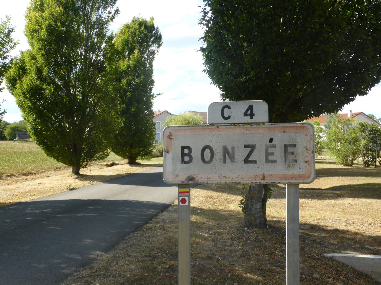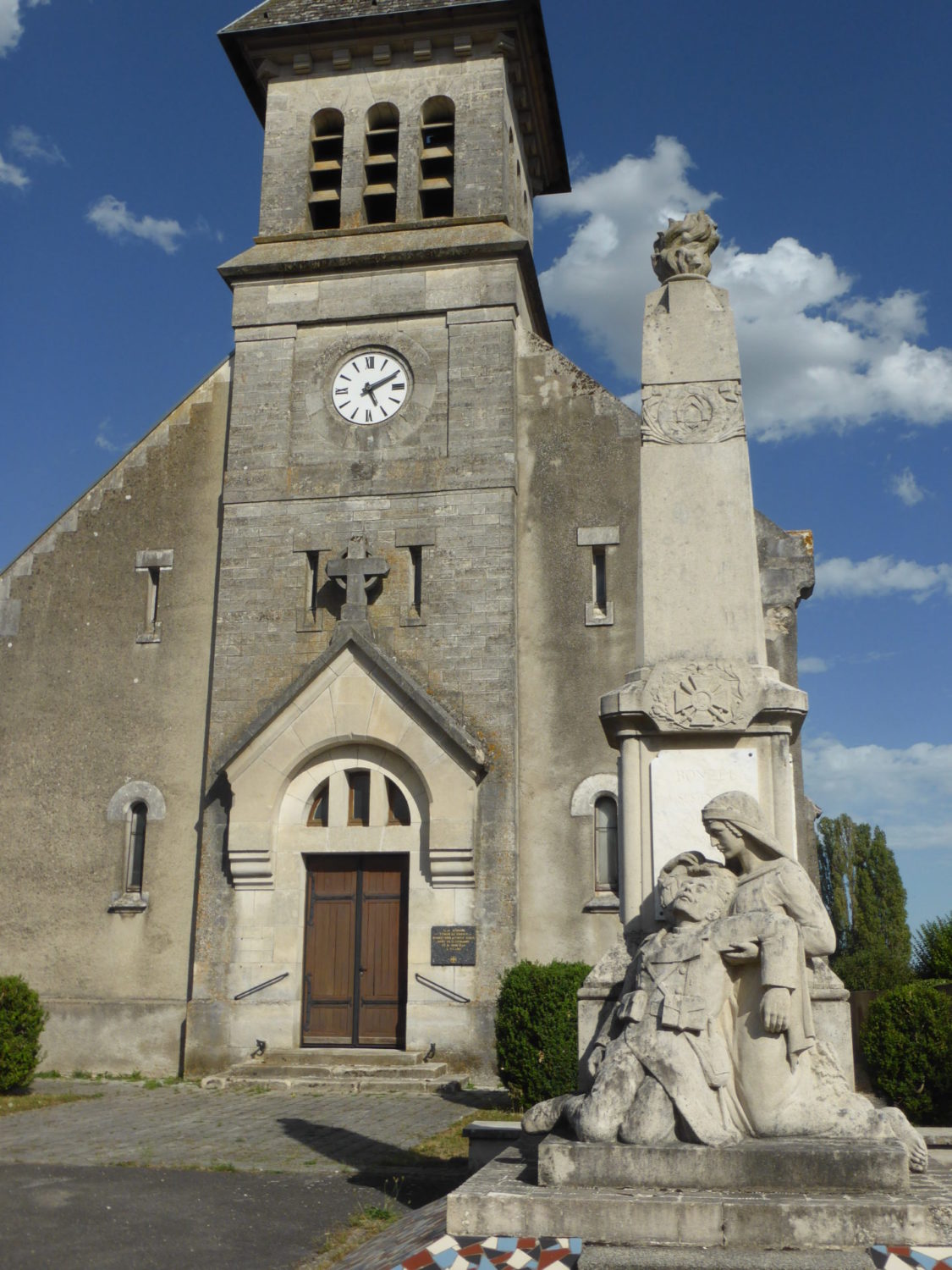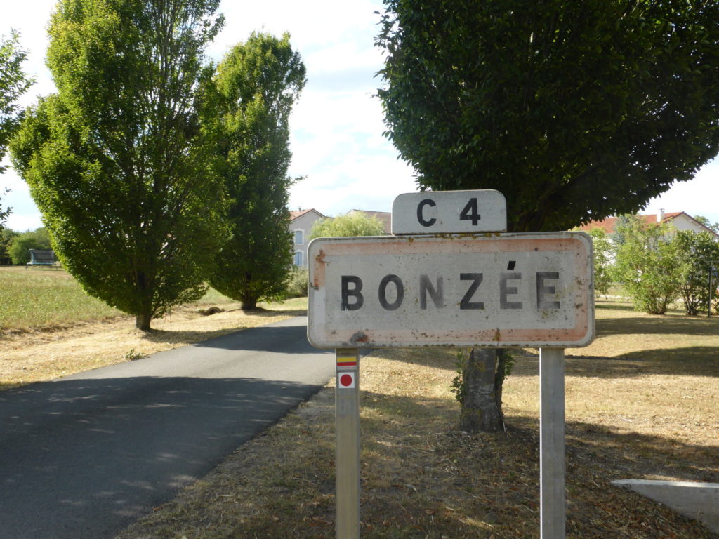
GR de Pays de la Woëvre – A 77 kilometre loop starting from the village Bonzée
I walked the GR de Pays de la Woëvre in August 2020, I did it two and half days, but it was tiring. I would suggest another day, or at least three full days. It’s 77 kms in total. I did it in 13km+32kms+32kms fully autonomous. As it’s a loop you start and finish at the same village Bonzée.
Day 1
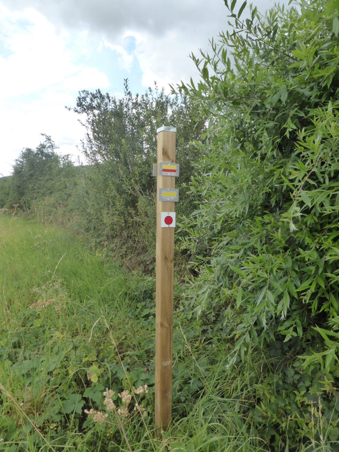
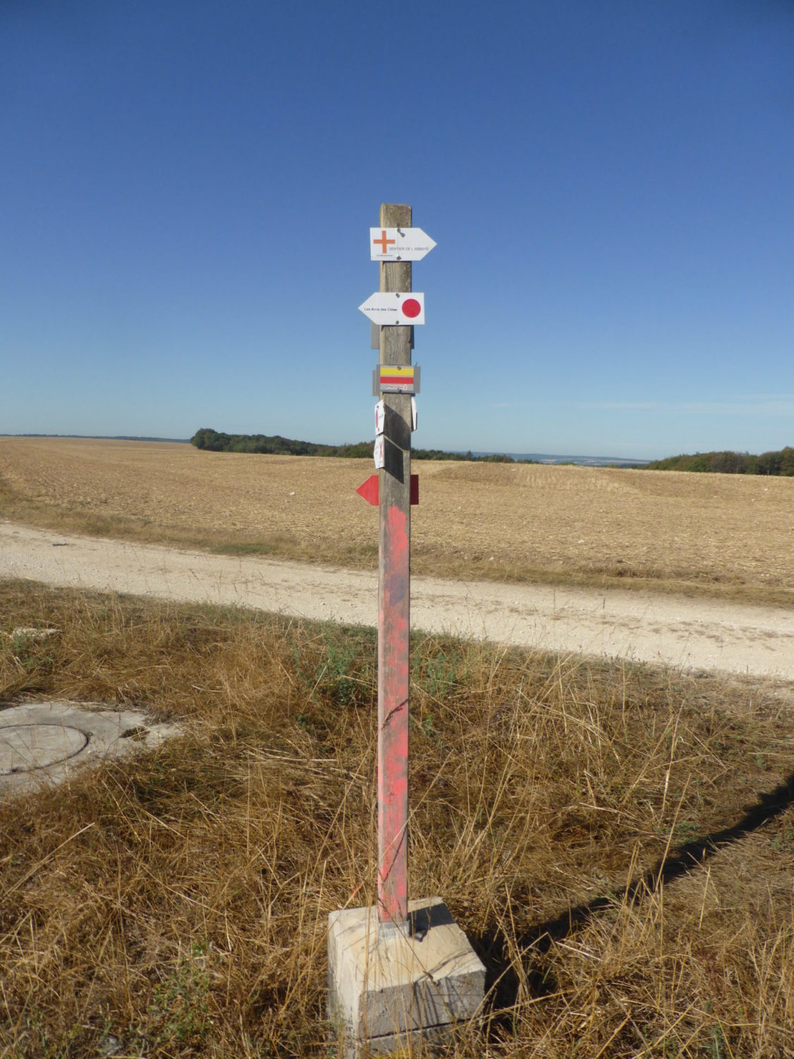
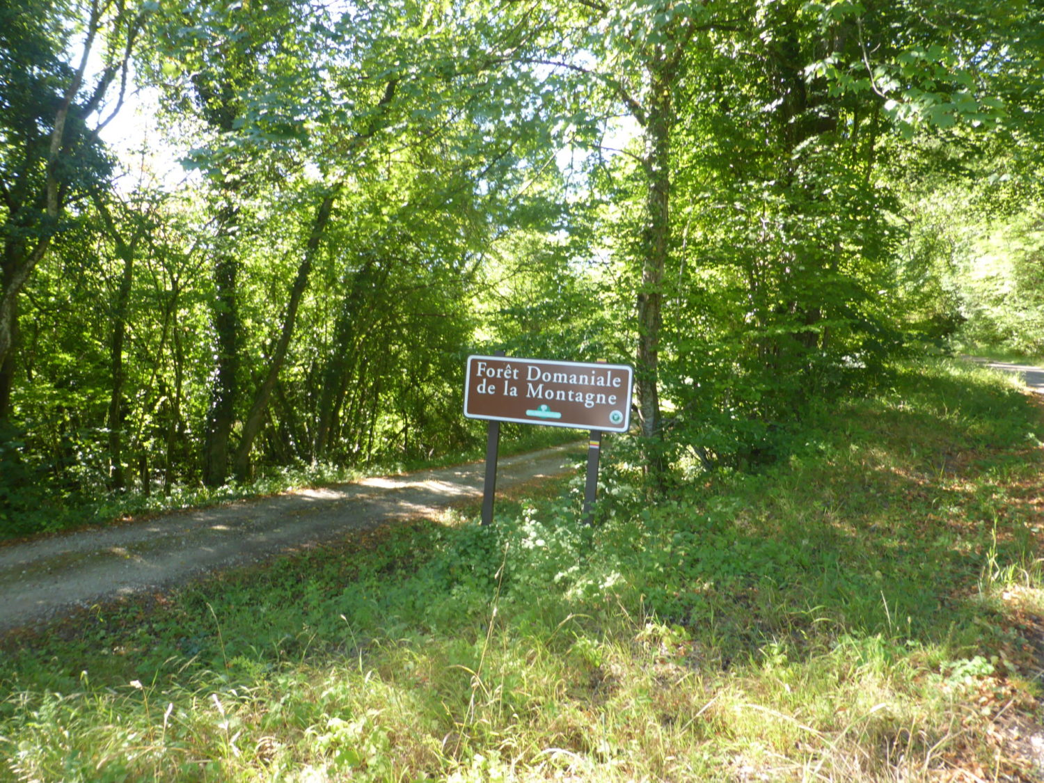
Leaving the car at the small village of Bonzée. I started walking at 2pm. As I had a 3h30 drive from home earlier. I followed the trace on my Garmin 66i to the ‘starting’ point which is about 1km down a small country road. For once I also had with me the two IGN 25.000 paper maps that cover the whole walk. This GR is so well sign posted you could do it without the maps.
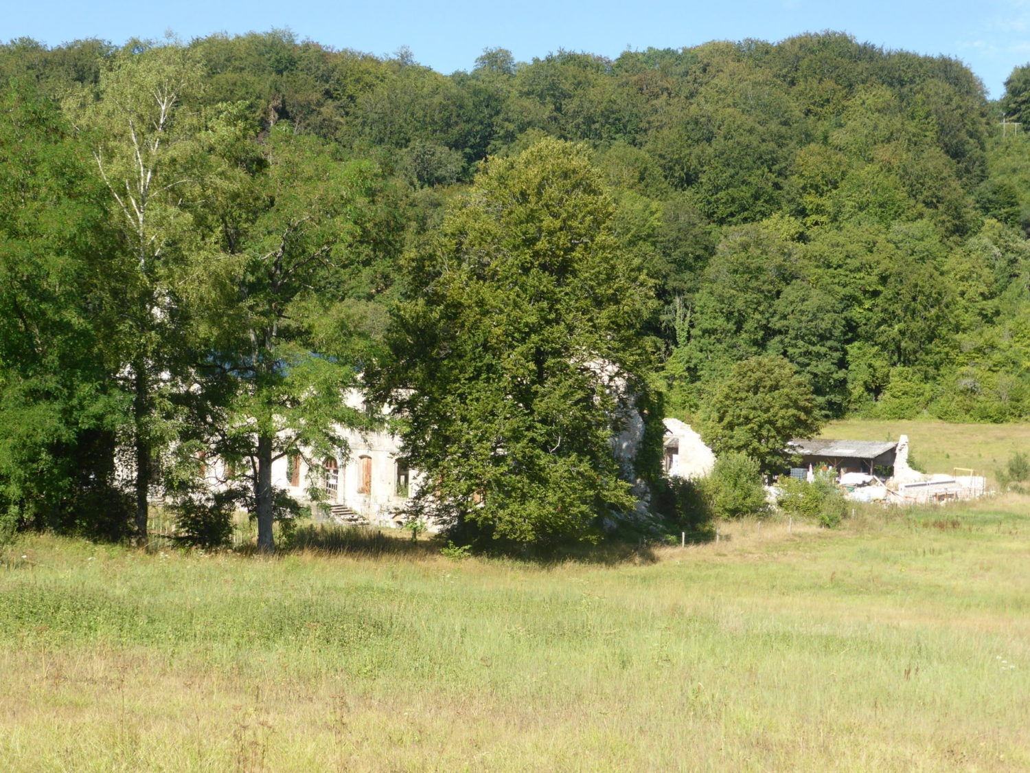
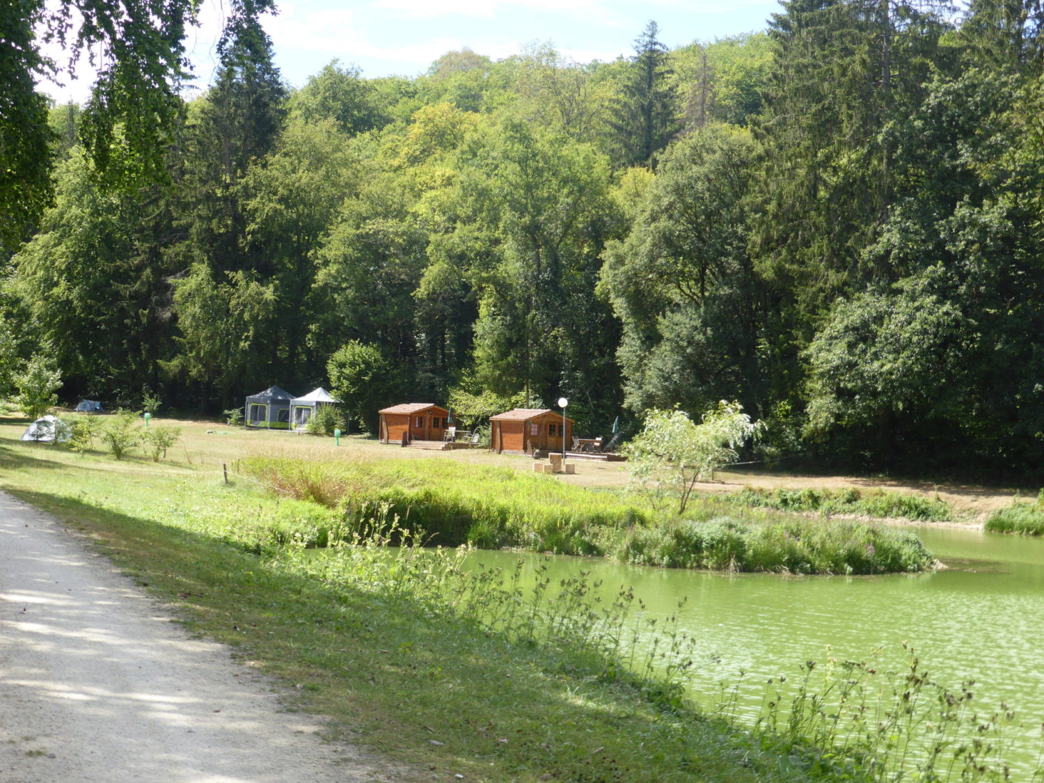
The first 6kms are on the road. A small road almost no traffic, then finally you start hitting the paths until a small and rather nice camping, where I had planned to stay. About 13kms from the start.
The camping was actually very good. Loads of room. The guy who runs it, was very nice and totally respected the consigns concerning Covid-19, masks and hand washing etc, Hand Gel in the toilets. Pretty good for such a smallish place. In the evening, he opens a small hut, to take the reservations and payments. He also sells, water, beer, cider etc, so three bottles of local beer plus the price of the camping, only 16 euros. Not expensive. There was even a vegetable patch with tomatoes that you could pick for yourself free of charge, nice….
Day 2
I left the camping at 9am. I followed my GPX trace that I had planned on my Garmin 66i and not the balisage (sign posts). As strangely this takes you by road for a while. Whatever you follow, they merge later on.
My GPX trace is the same as on the IGN maps, where as the signposts takes you by a road for a while, strange.
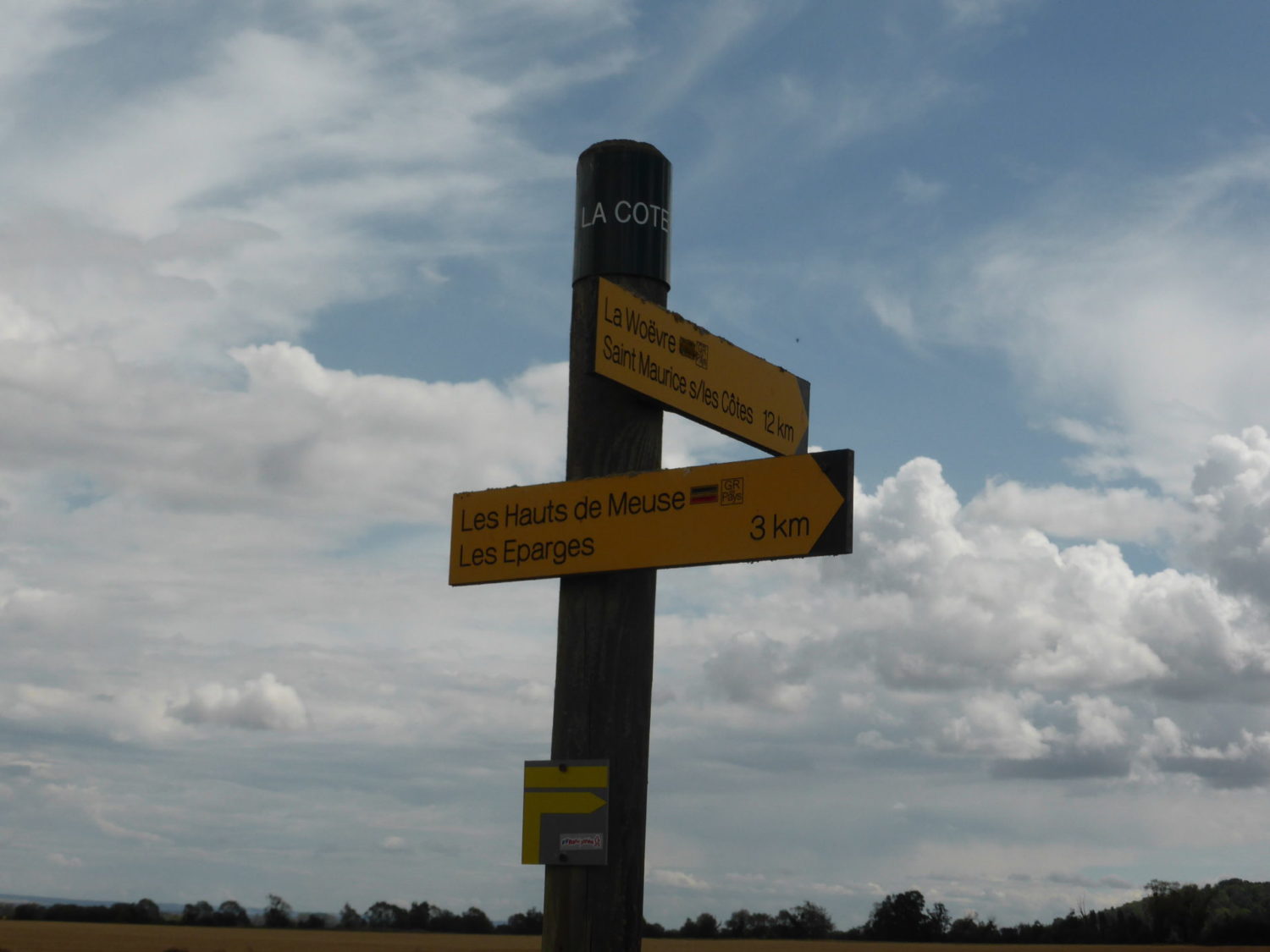
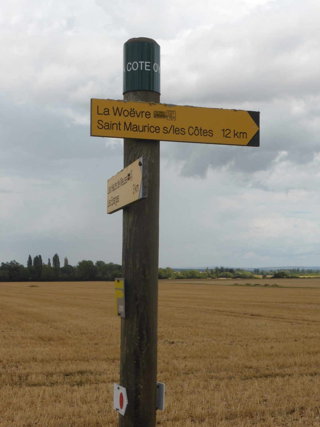
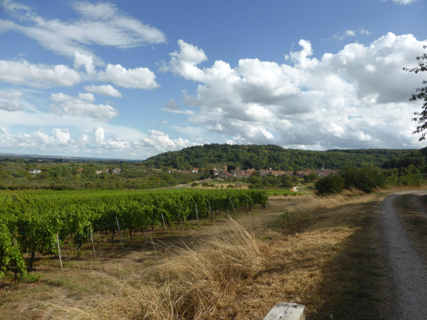
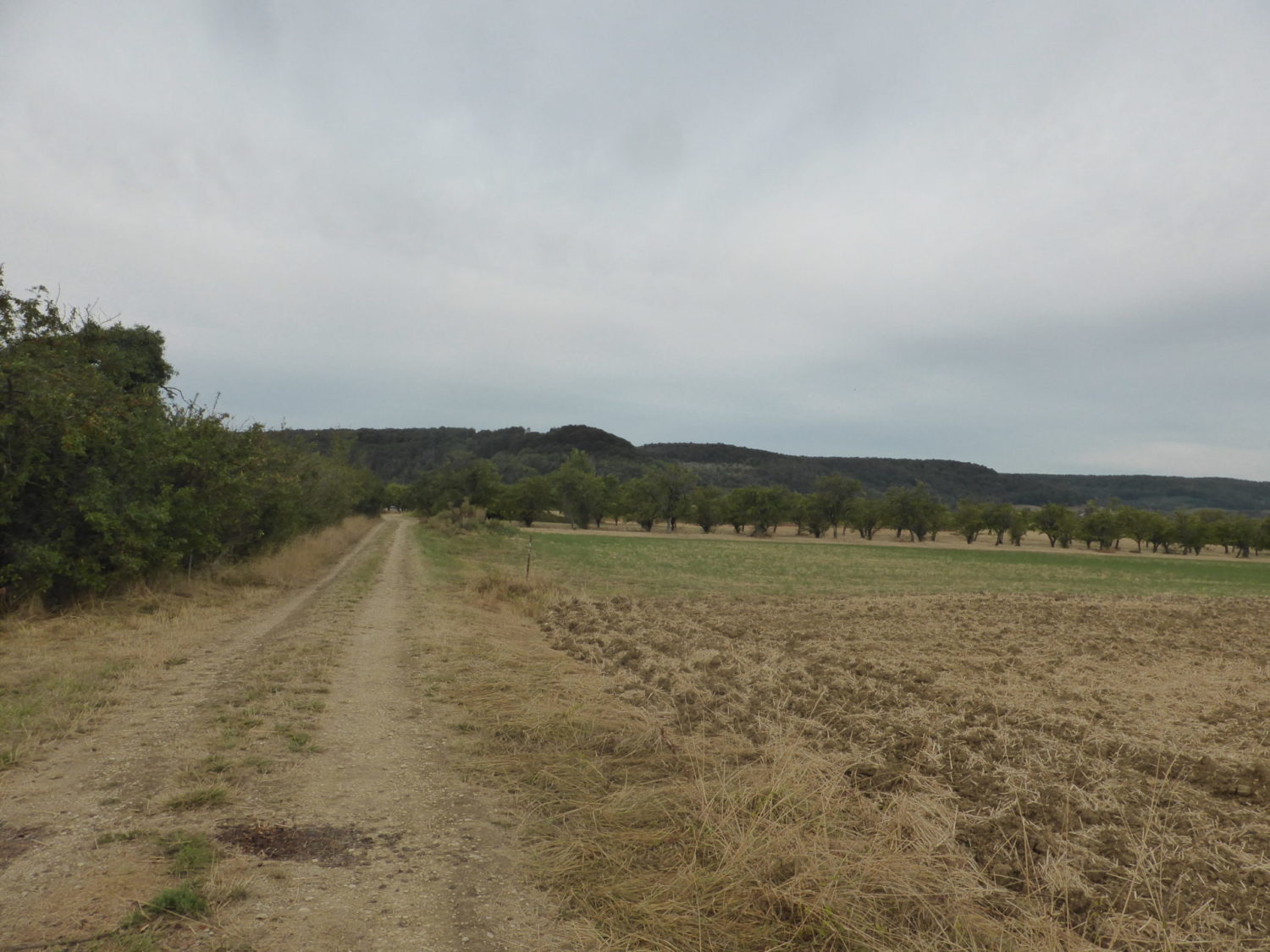
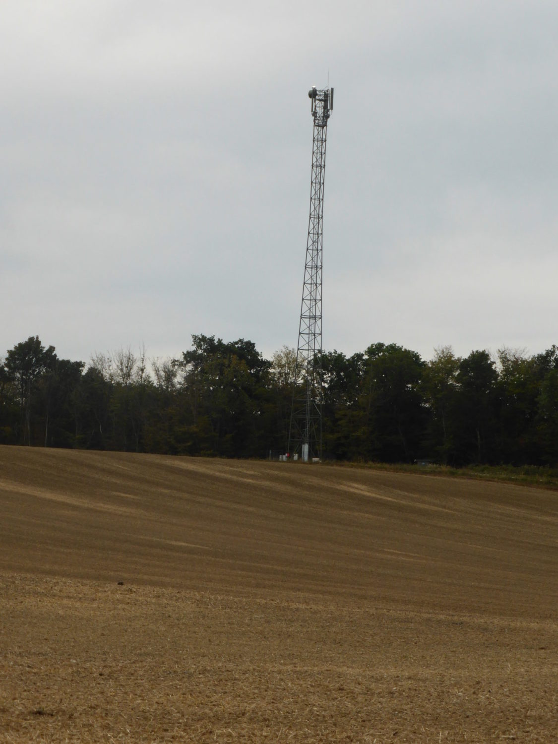
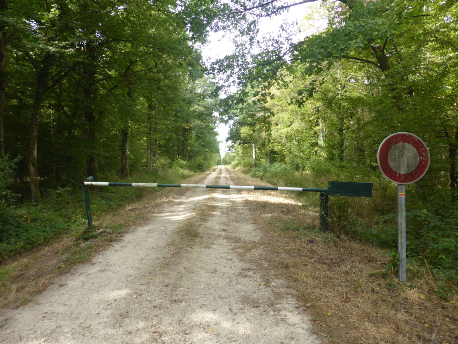
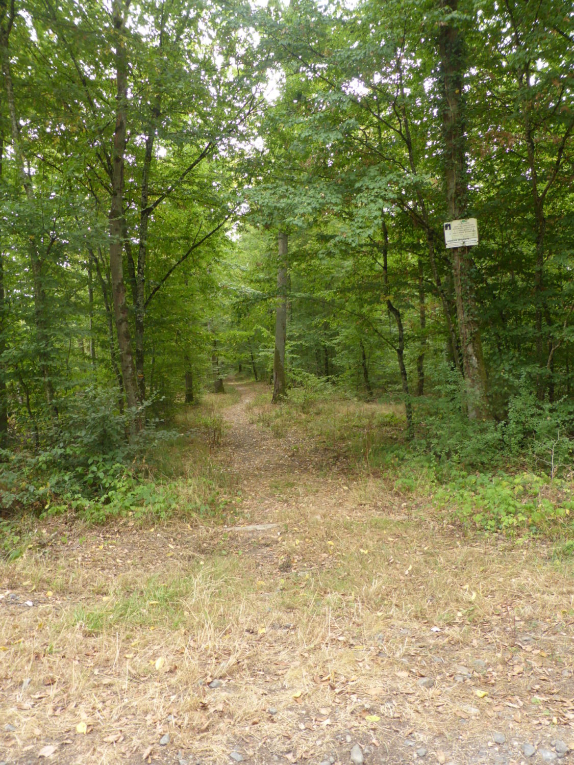
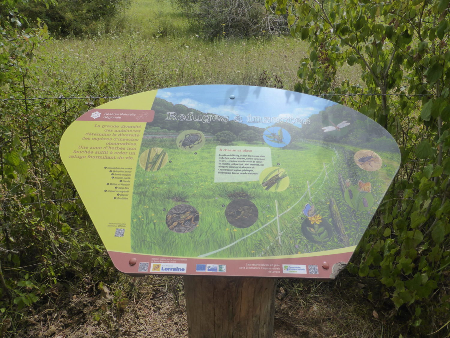
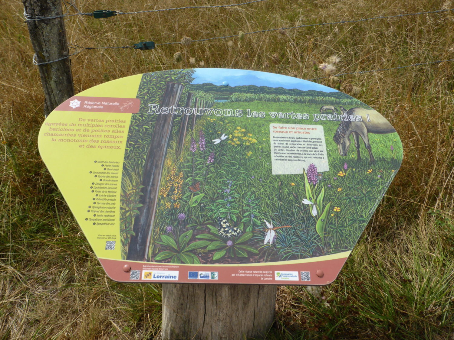
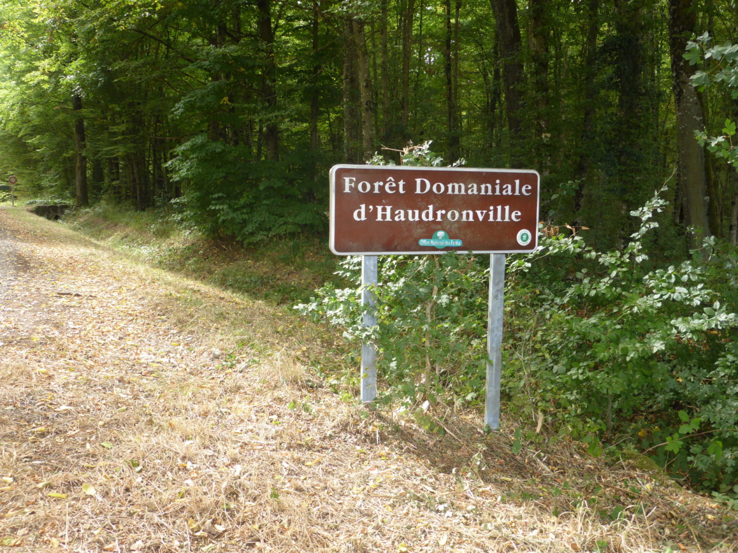
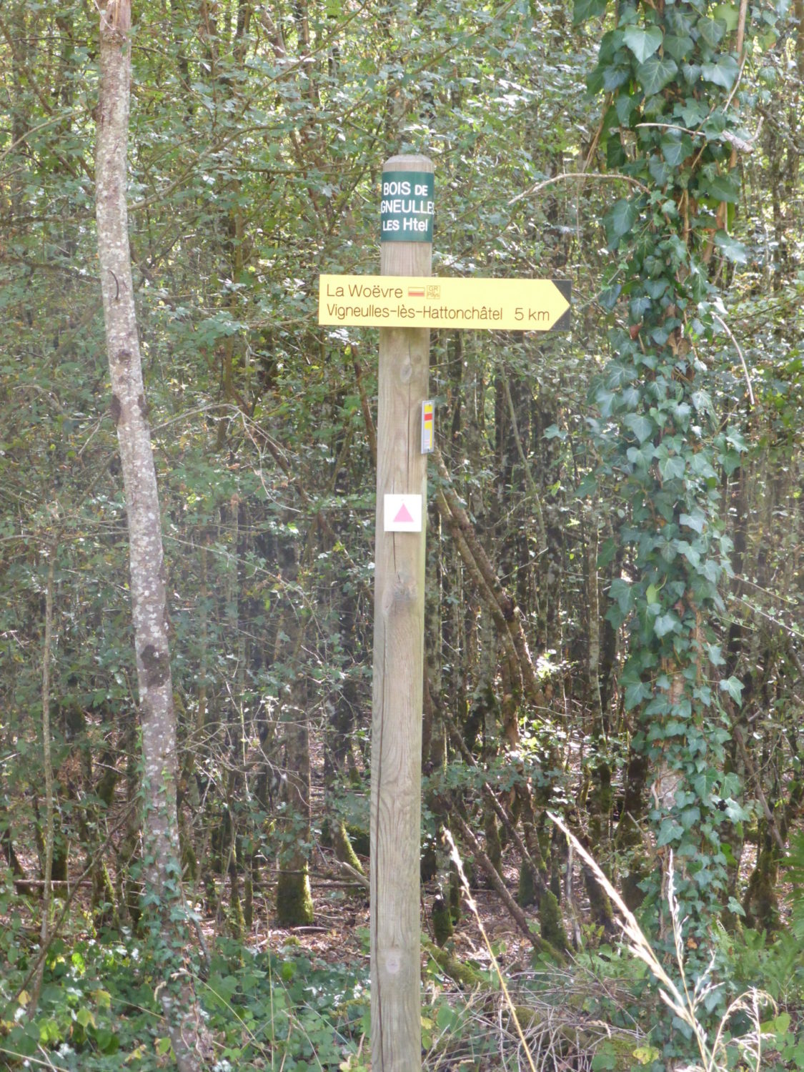
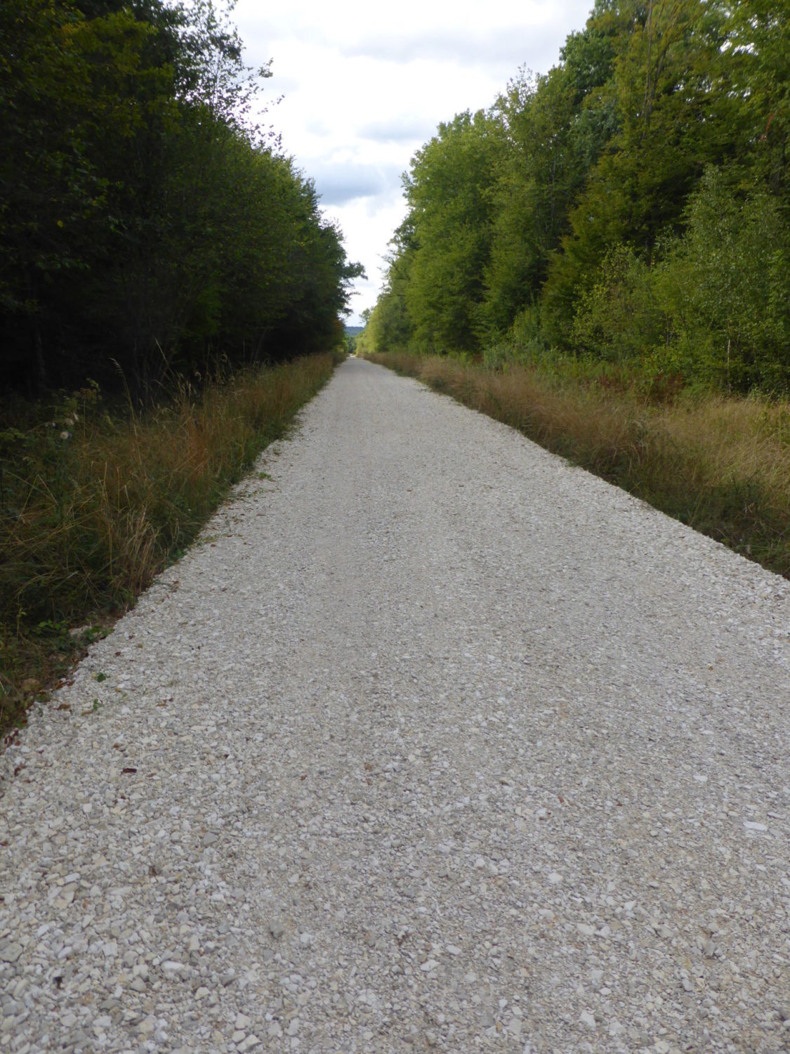
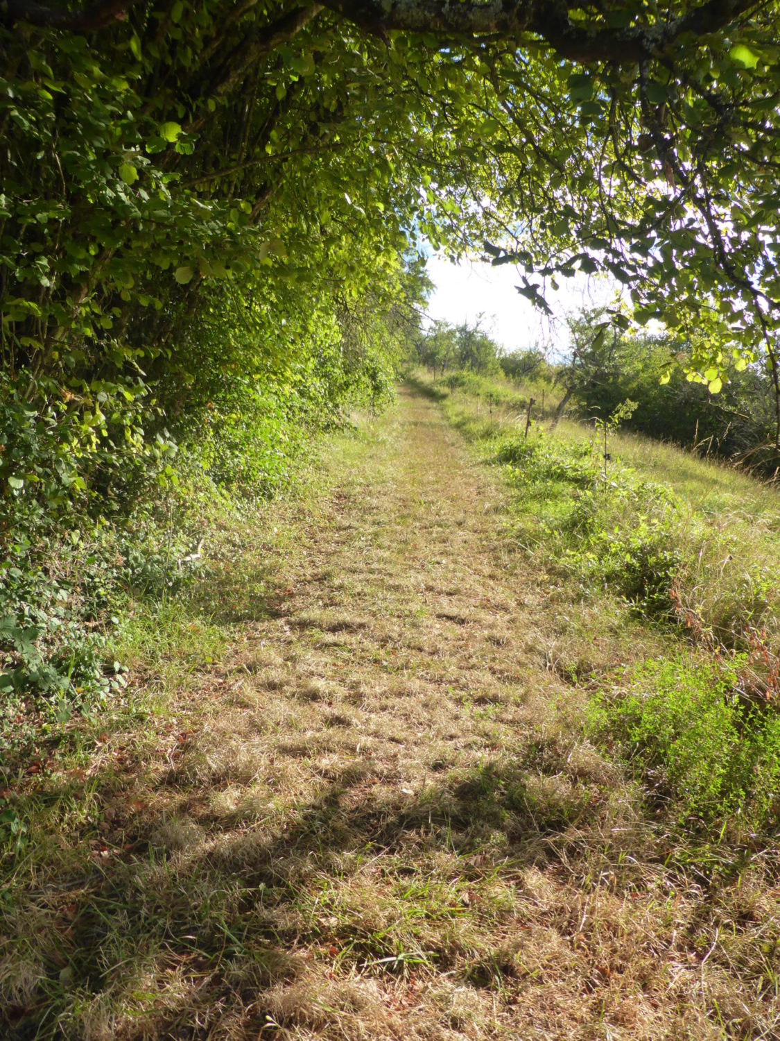
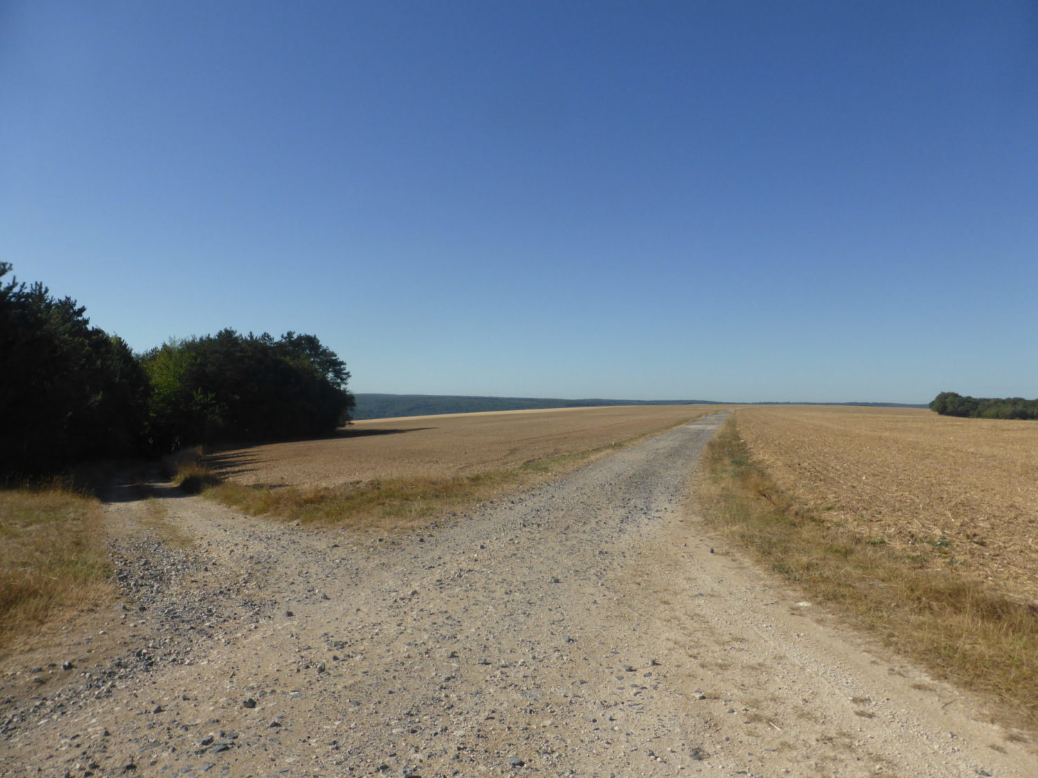
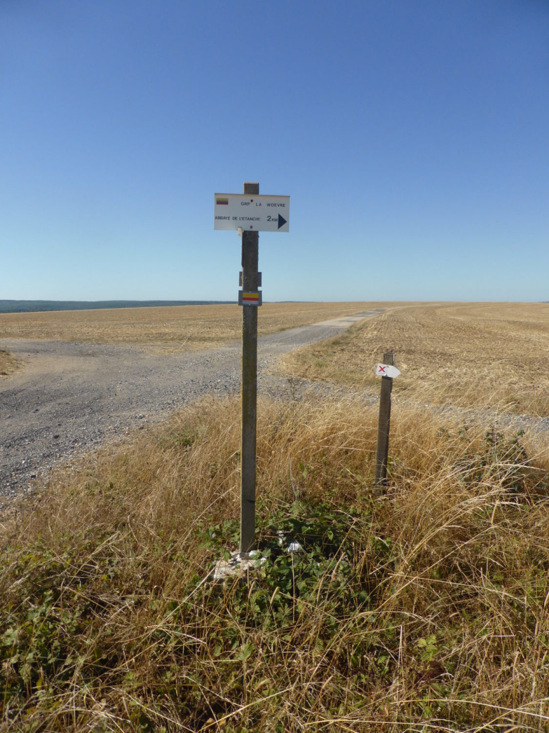
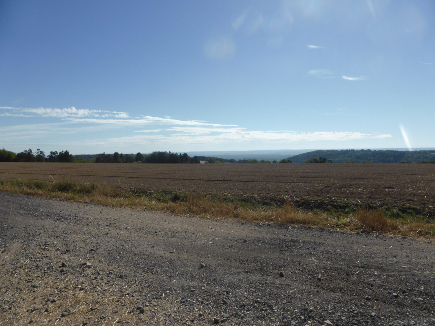
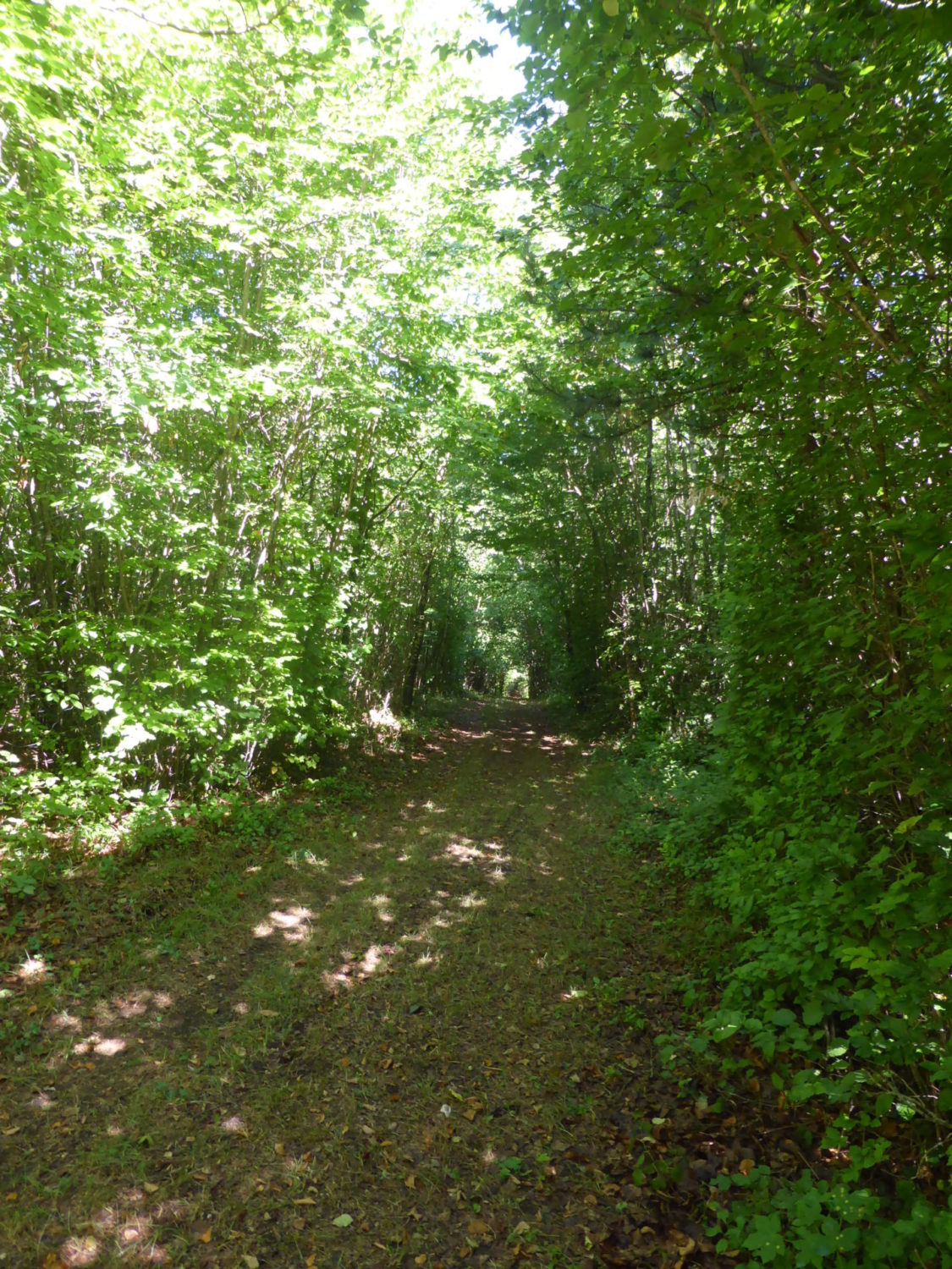
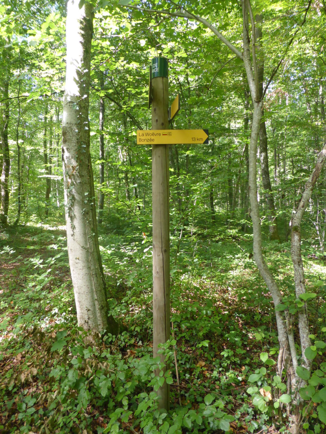
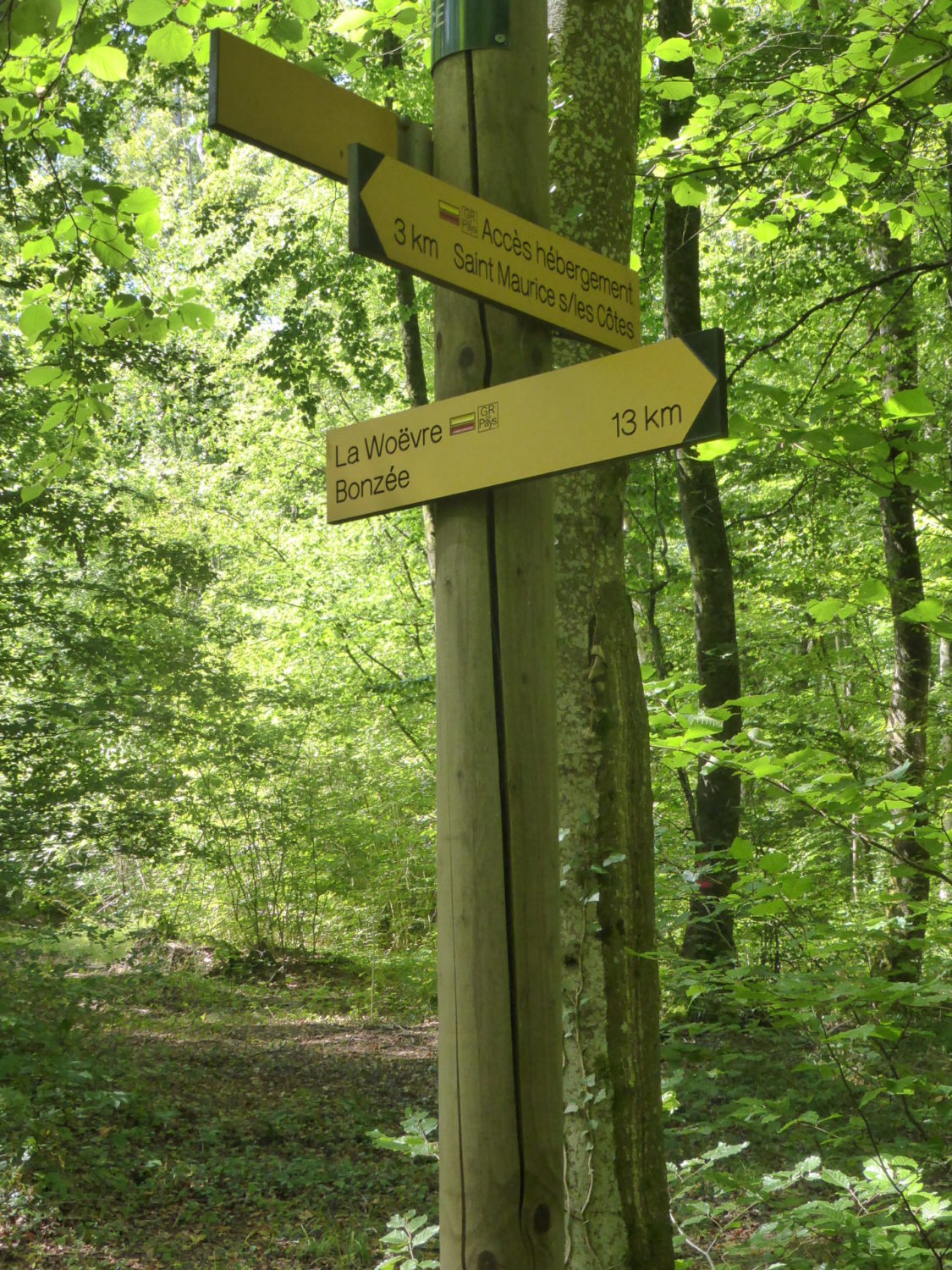
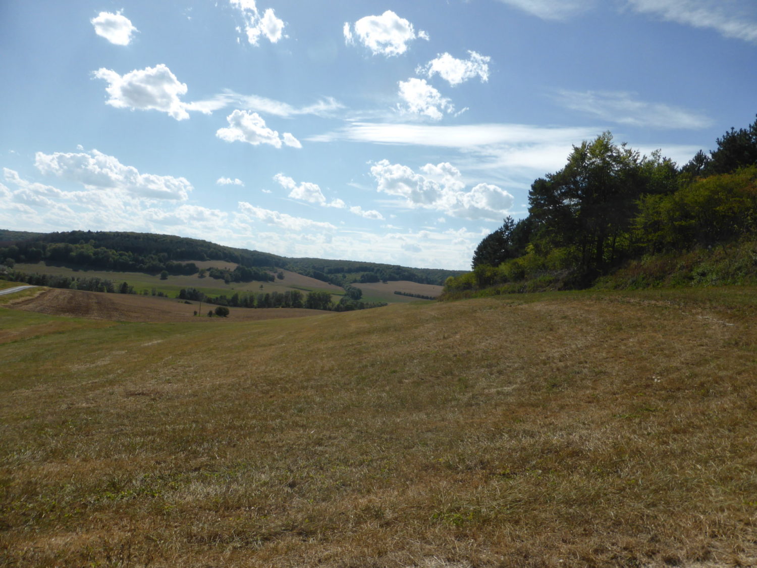
All the paths here are easy very well kept, (this for the whole of the GR) even in the forest or in the fields, the balisage (signposting) is perfect. The paths are very flat, and mostly white, (someone said it was white sand / fine gravel. You can see it in some of the photos) very easy to walk on. Even when the path is 100% naturel they were flat and well kept.
Cheat here and cut through the village
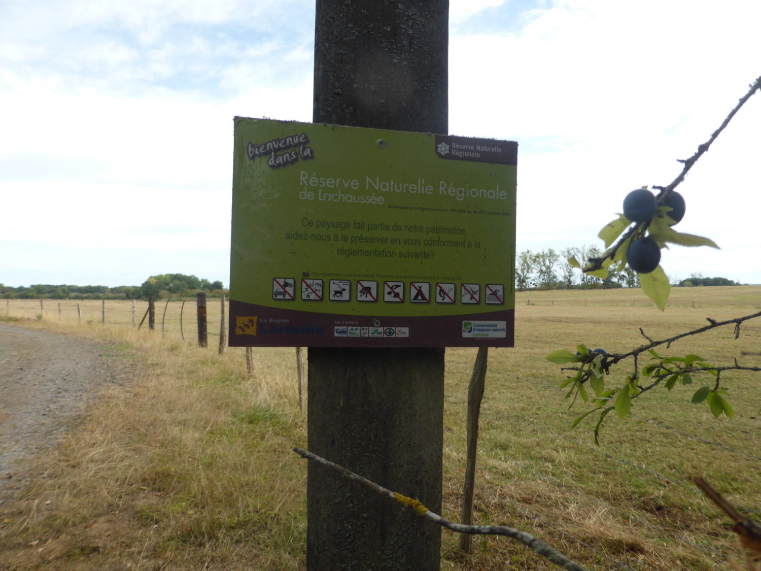
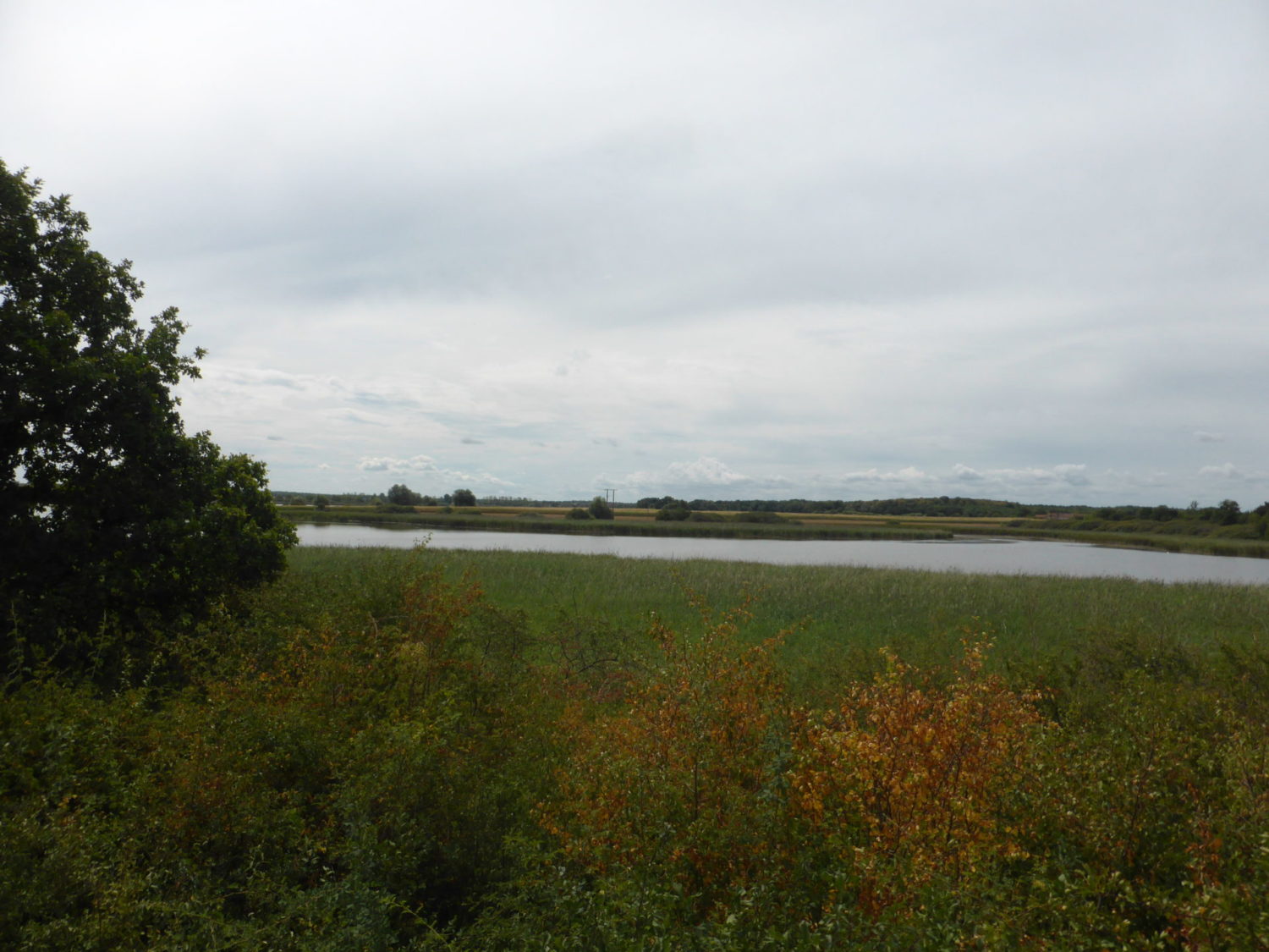
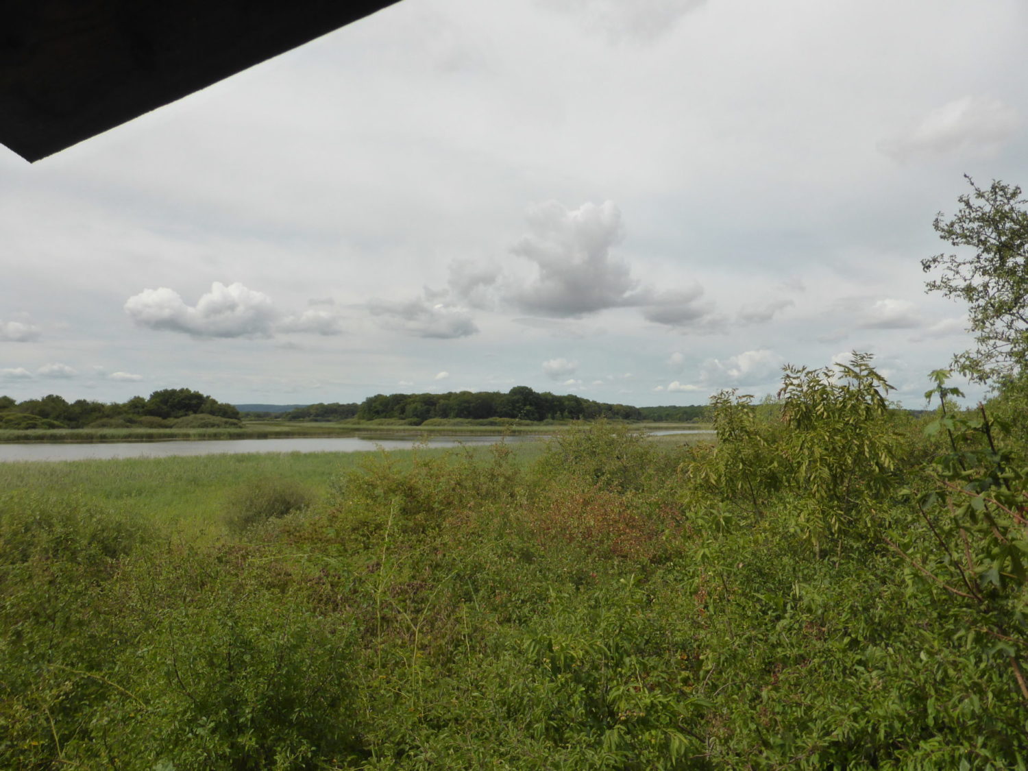
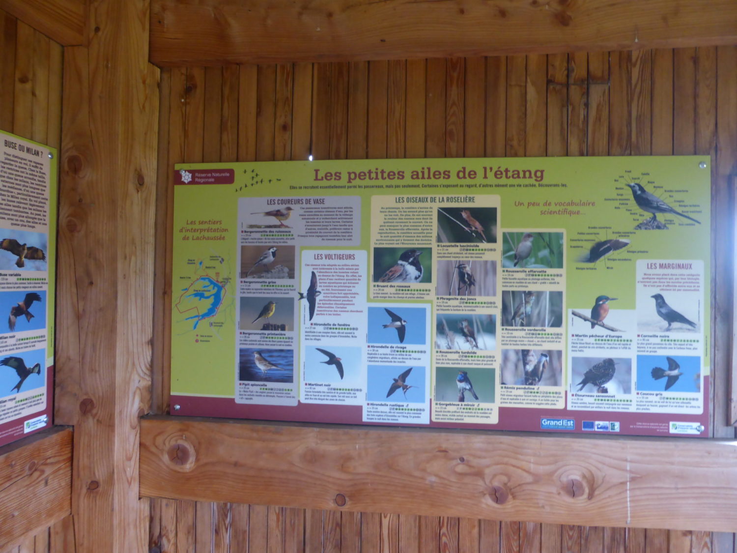
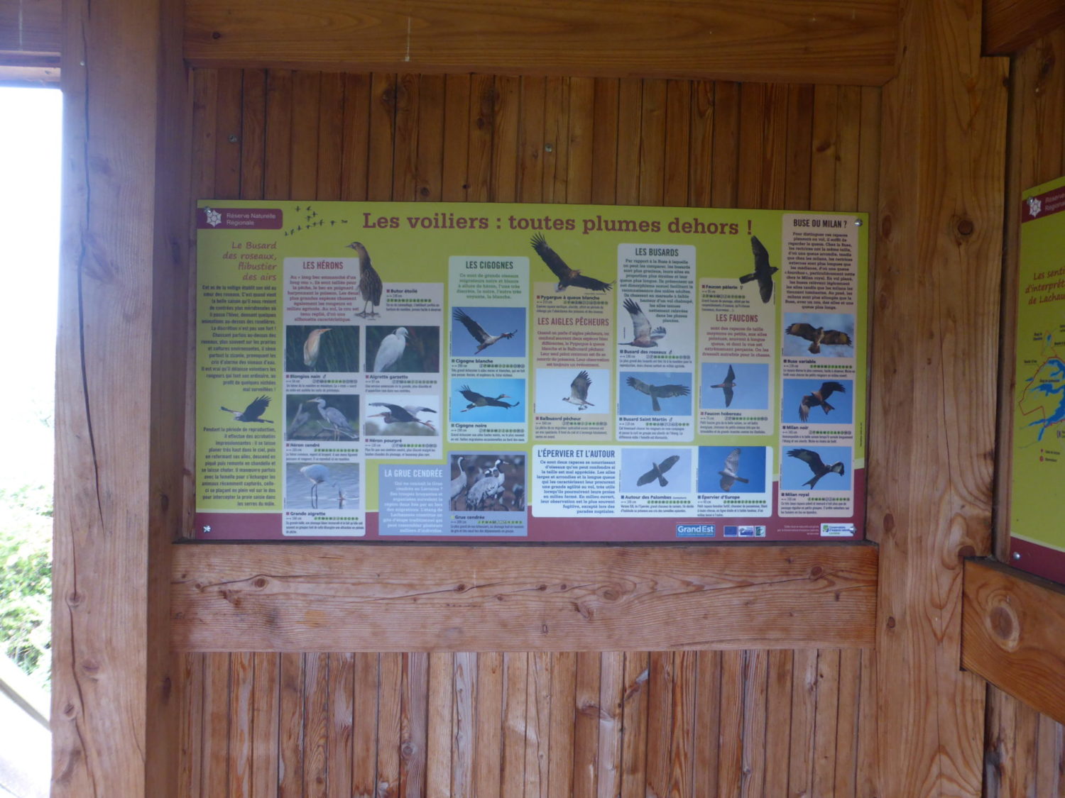
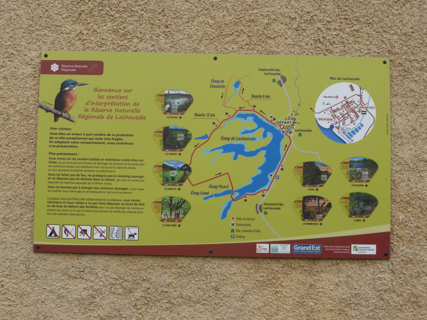
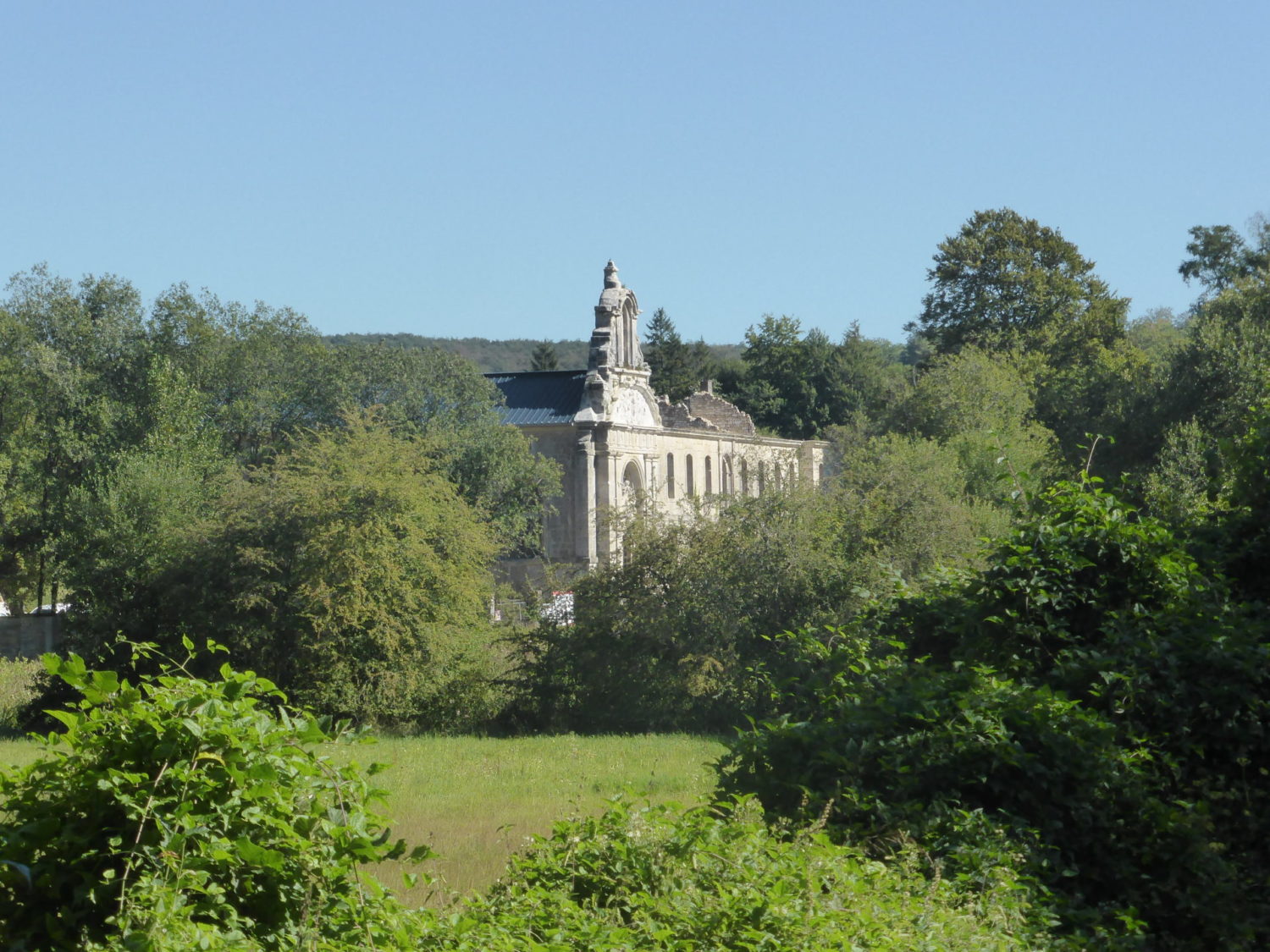
Later you arrive at a village called Lachausée…(you are basically walking a big loop here) which is found on the end “étang de chaussée” a protected lake for animals and wildlife. Getting there was by the paths in the forest but at the village. The GR takes you around the back of the village. It’s of no interest what so ever. I suggest you cheat and cut through it, seeing a bit of the village while doing so and cutting of a little bit of road. Leaving the village, there’s a very long strip of road , 2.5 kms. This is boring but no other option, though no or very little traffic.
At the end of this road, you’ll enter a small village called Haumont lès Lachausée. If possible fill up with water here. From here on its paths again, all very flat. Yesterday and today all is flat, almost no dénivelé. For info there is a gîte here in this village. I saw it in passing.
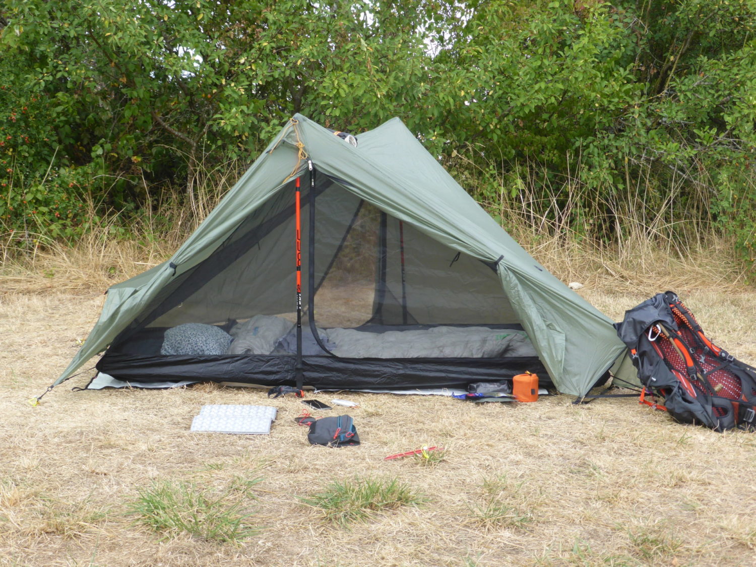
I’d walked from the first camping for over 31 kms. I should have stopped a bit earlier and pitched my tent, wild camping (bivouac in French) as loads of places to do so, but I needed some water as I didn’t get enough in the previous village also it was very hot so I continued on until I finally came across a farm where I topped up. I also asked if I could pitch my tent in their orchard across the road, which they said of course I could. It was a long walk. Again from the previous village Haumont lès Lachausée there are no houses no nothing, so again fill up with water there.
Day 3
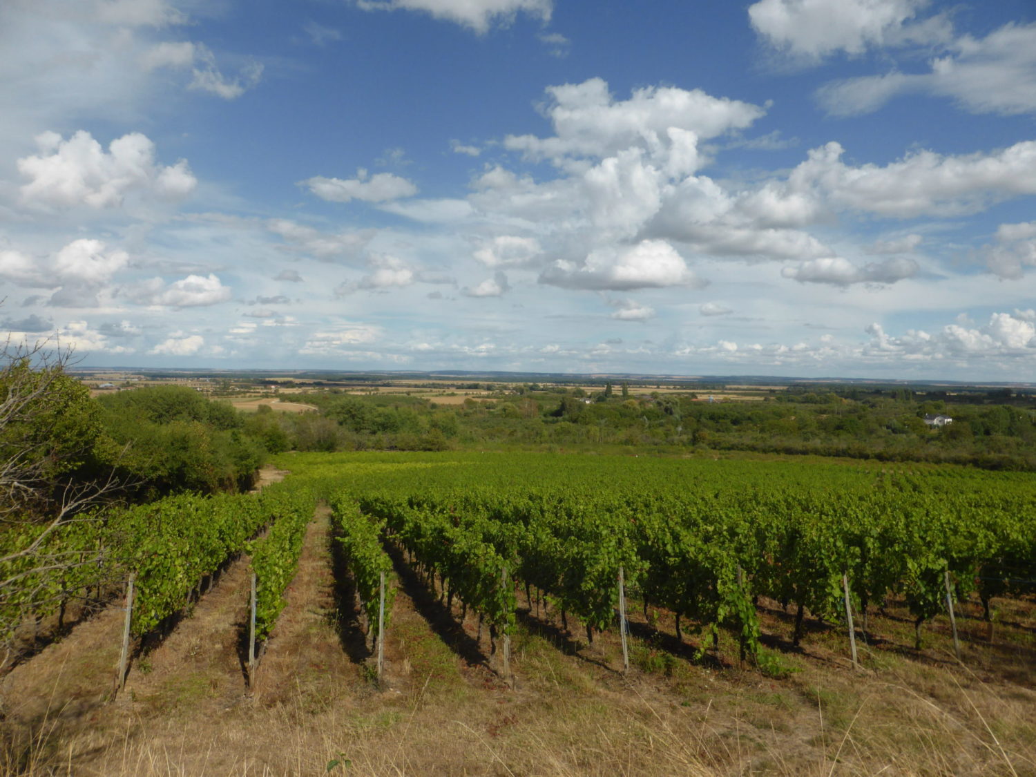
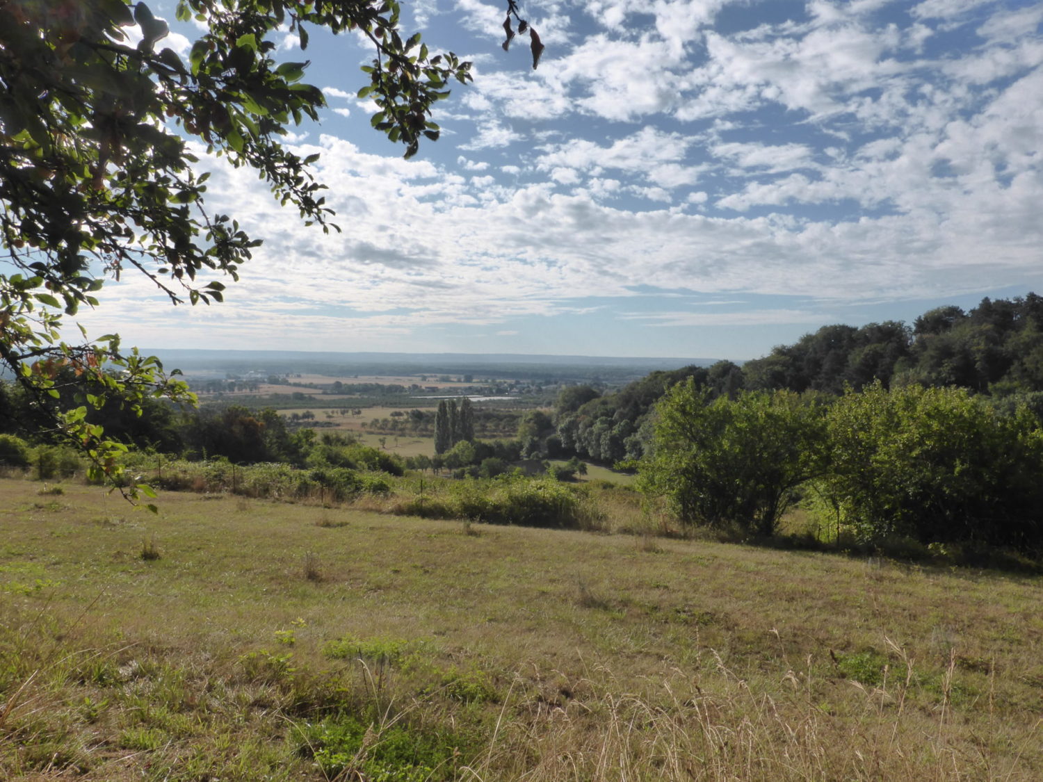
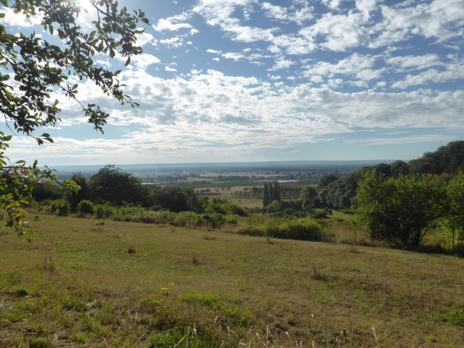
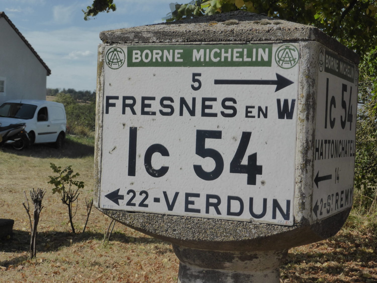
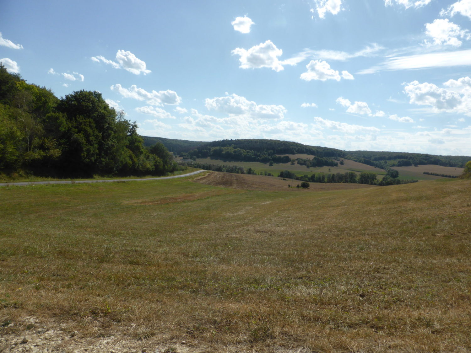
Finally some hills, though nothing steep or technical, after a about a kilometre you’ll cross a village called Vigneulles lès Hattonchâtel, fill up with water here if need be. Now up you go for a change, a nice steepish hill but by the road until Hattonchâtel. Here at the village you turn left so you don’t go into it. You are as high as you’ll get for this walk and back on to a path walking with some lovely views of all over the countryside.
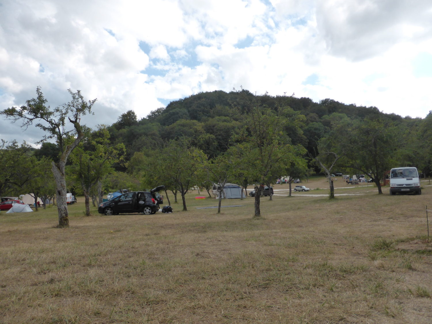
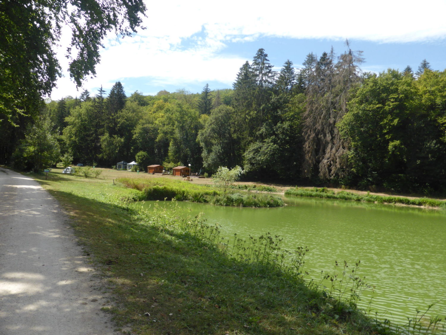
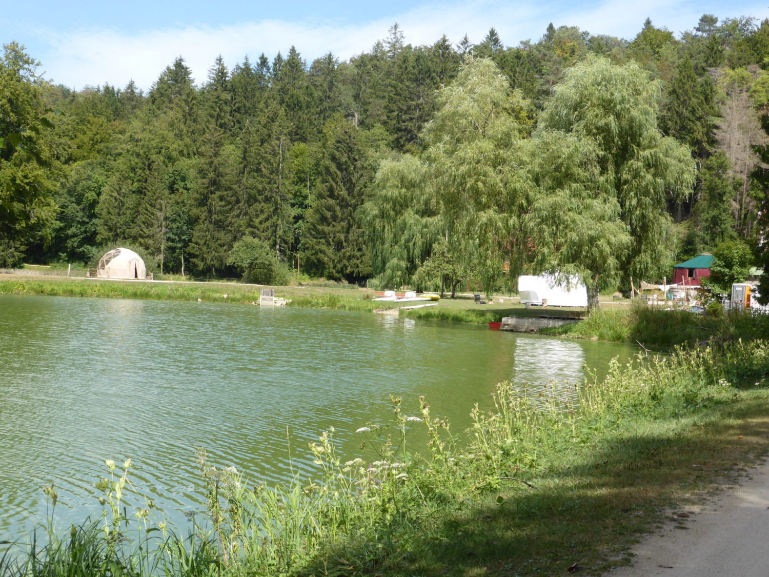
I had planned in staying at the second camping site on this GR which is about the 65 kms distance, camping du Longeau though I didn’t. I should have, I had time.
This camping is again in a very quiet spot this time with a very small lake also it has a bar / restaurant. As it was only one o’clock when I arrived. I just stopped and ate for 30 minutes. I decided to do the last leg and finish this GR
To be honest I should have pitched the tent and stayed. It was very hot, 35 degrees and I still had another 13 /15 kms to walk. That I had actually planned for the following day. After a while from the camping is the only village before the end. Les Eparges. I walked through it seeing nobody. Typical small villages where everybody is inside. It’s last village before Bonzée.
This last section is mostly forest but with the sun directly overhead it was so hot and not enough shade. Boy was this last section hard work.
But I arrived at Bonzée around 16h30. Totally knackered and with a 3h30 drive to home.
Resumé
This is very agreeable trek. Signposting (Balisage in French) is perfect. Very clearly marked. You can do the whole walk without a GPS. I used my Garmin 66i, but didn’t really need it. No technical difficulties. It’s fairly flat except the last leg.